
6 Hikes in Arkansas
Source:
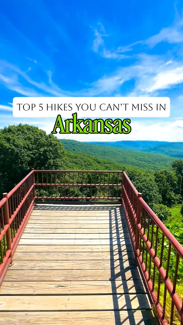
6 hikes in Arkansas: Cedar Falls Trailhead, Seven Hollows Trailhead, Hemmed-in Hollow Trail (from Buffalo River), and 3 more. Every place is verified on Google Maps, featured in a Facebook post by Facebook.
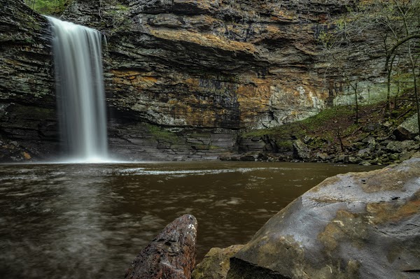
Cedar Falls Trailhead

Hiking area

4.8
Hike to the iconic 95-foot Cedar Falls, one of Arkansas's most photographed waterfalls. The trail offers stunning views leading up to this majestic natural wonder.
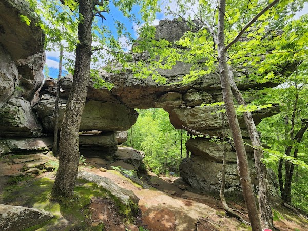
Seven Hollows Trailhead
Hiking area
4.8
Explore natural bridges, grottoes, and unique rock formations within Petit Jean State Park. This trail showcases some of the park's most fascinating and diverse landscapes.
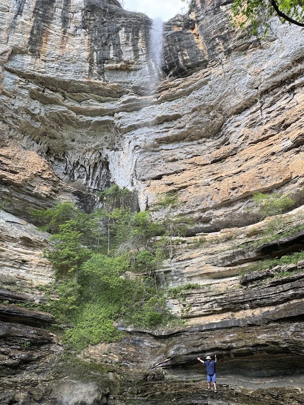
Hemmed-in Hollow Trail (from Buffalo River)
Hiking area
5.0
This challenging hike leads to the tallest waterfall between the Rockies and Appalachians. Prepare for a rewarding view of the breathtaking 209-foot waterfall.
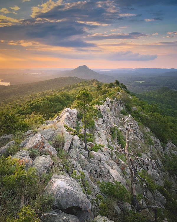
Rattlesnake Ridge Natural Area
Nature preserve
4.6
Discover unique rock formations and panoramic views on this popular Central Arkansas hike. Every step offers a new scenic reward, making it a favorite among locals.
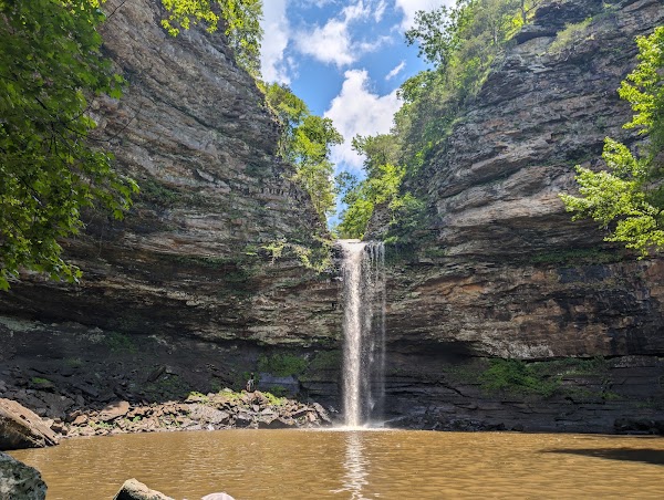
Petit Jean State Park
State park
4.9
Arkansas's first state park offers diverse landscapes and unique geological features. Explore its trails to discover natural bridges and fascinating rock formations.
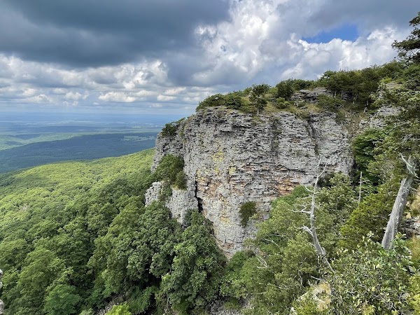
Mount Magazine State Park
State park
4.8
Take a short hike to Signal Hill, the highest point in Arkansas, standing at 2,753 feet. This bucket-list stop offers a unique sense of accomplishment and panoramic views.
Save these 6 places to your map
Keep every place on your own map in DocentPro, and add more as you browse.

