Ancient Forests of Whirinaki Te Pua A Tane
Source:
@getlostwithliam
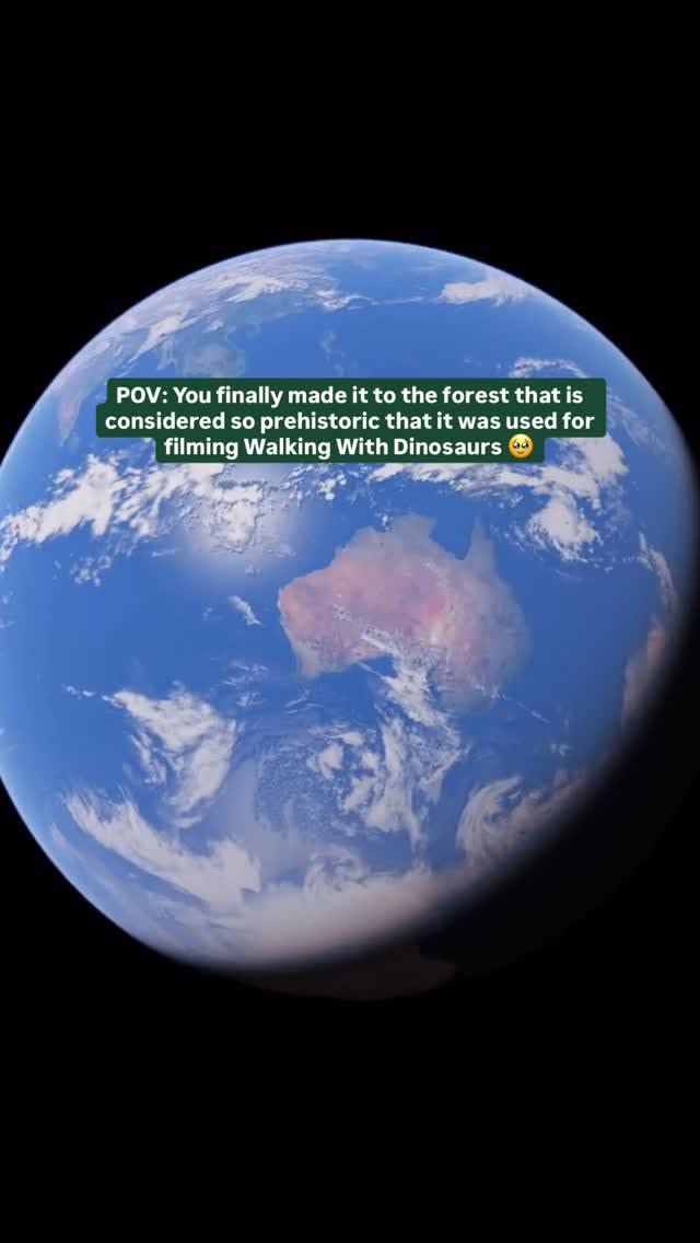

3 places on the map
Explore the map in the DocentPro app3 places in Bay of Plenty Region: Whirinaki Te Pua A Tane Conservation Park, Whirinaki Waterfall Loop Track, and 1 more. Every place is verified on Google Maps, featured in a Facebook post by getlostwithliam.
Whirinaki Te Pua A Tane Conservation Park

Point of interest

4.6
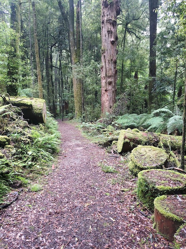
Immerse yourself in a primeval "dinosaur forest" with towering Podocarps and lush ferns. Explore ancient landscapes that look like they're from another era. This park offers a unique glimpse into Gondwanaland's natural heritage.

Whirinaki Waterfall Loop Track
Place
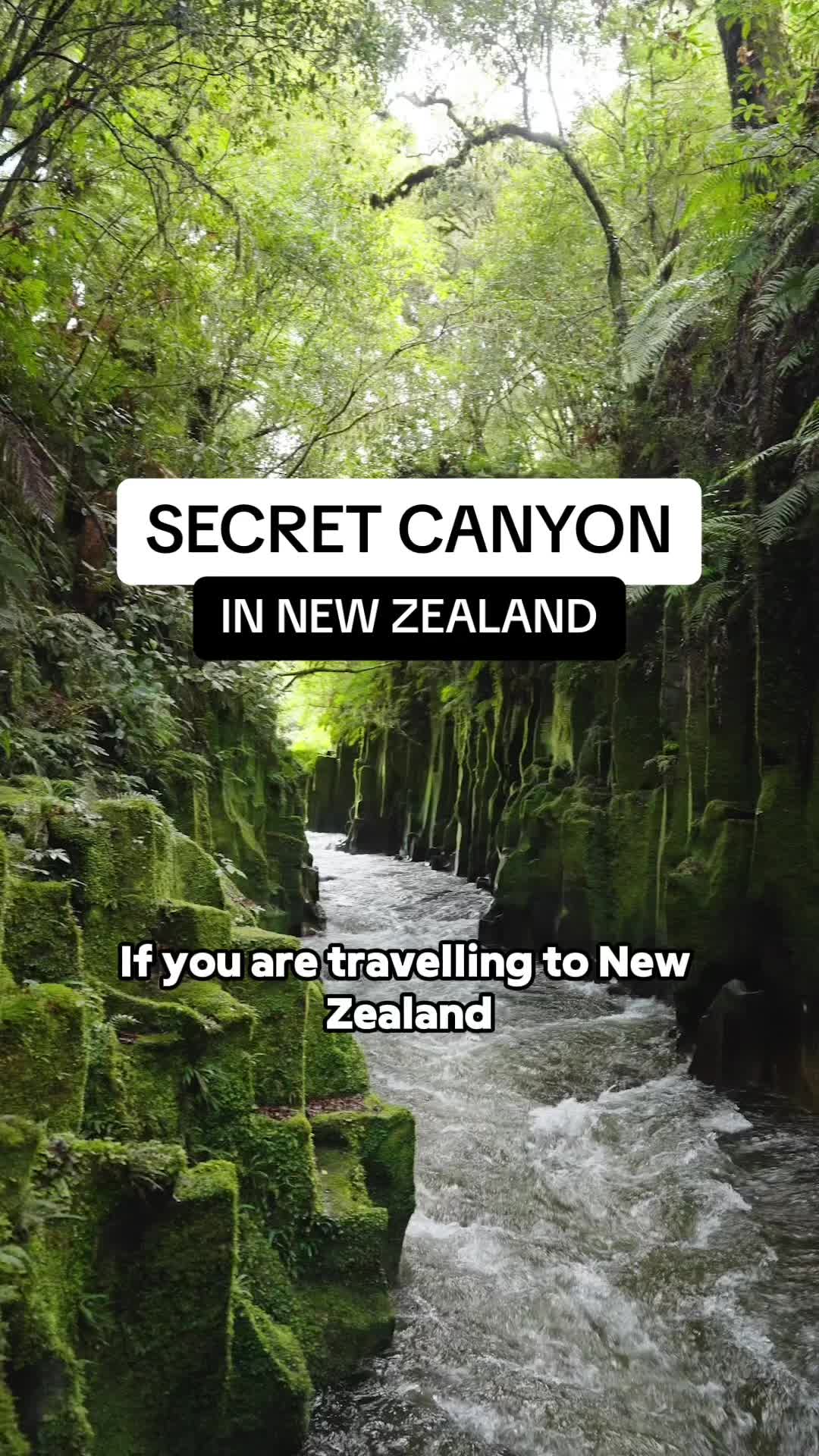
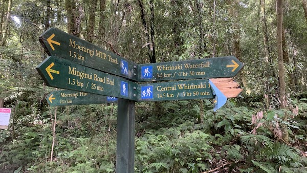
Hike an easy-to-moderate loop that leads to the stunning Te Whāiti-Nui-a-Toi canyon. This 11km track showcases the park's ancient forest and river, perfect for an immersive nature walk. Allow about 3.5 hours for the full experience, or 30 minutes just for the canyon.
Whirinaki Forest (River Road) Car Park
Transportation service
4.5
Start your journey to the Te Whāiti-Nui-a-Toi canyon from this convenient car park. It's the gateway to the Whirinaki Waterfall Loop Track. This easy-to-find spot is about a 1.5-hour drive from Rotorua.
Save these 3 places to your map
Keep every place on your own map in DocentPro, and add more as you browse.