
Bohusleden Trail's Natural Wonders And Highest Points
Source:
@vastsverige


Save places straight from any post.
Share an Instagram, TikTok, YouTube, Facebook, Google Maps or web link to DocentPro and every place in it lands on your map. This post became these 4.

4 places on the map
Explore the map in the DocentPro app4 attractions in Sweden: Reors grotta, Björnerödspiggen, Svartedalens vildmarksområde, and 1 more. Every place is verified on Google Maps, featured in an Instagram post by Välkommen till Västsverige.

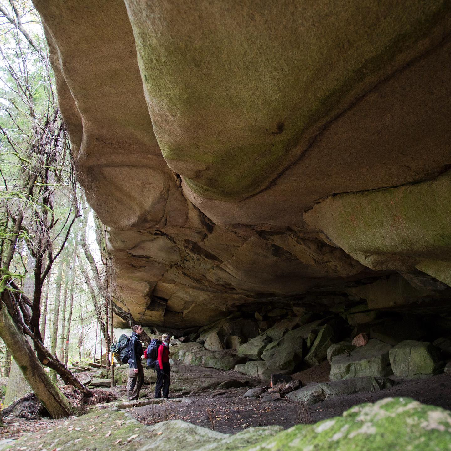
Reors grotta

Historical landmark

2.3
• Explore this natural cave formation along the Bohusleden trail. • The cool interior offers a refreshing break from hiking.
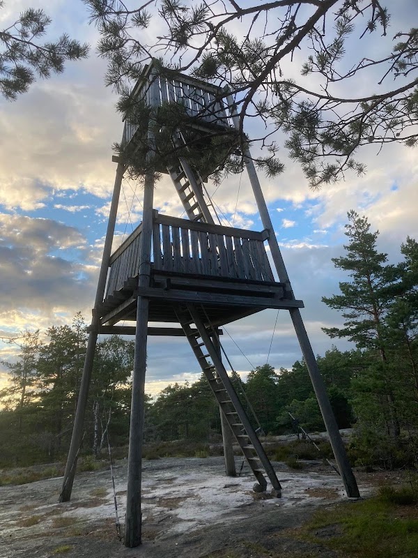
Björnerödspiggen

Mountain peak
4.2
• Visit Bohuslän's highest point for panoramic views. • An observation tower provides an elevated perspective. • Pack a picnic to enjoy at the summit.
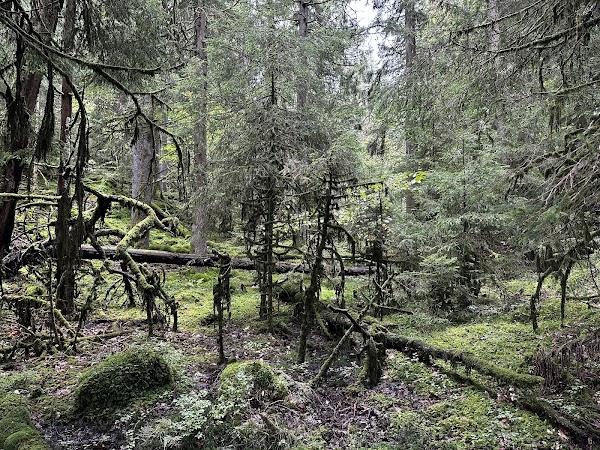
Svartedalens vildmarksområde
Nature preserve
4.8
• Explore this wilderness area, ideal for canoeing or kayaking. • Enjoy the serene waters and forested islands. • Rent a canoe for a unique perspective.
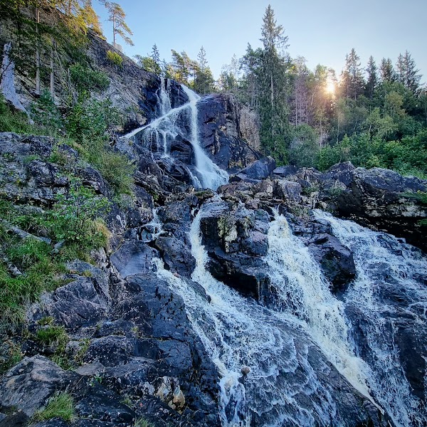
Elgåfossen
Natural feature
4.7
• See Bohuslän's highest waterfall, with a 46-meter drop. • The powerful cascade is spectacular after heavy rains. • A nearby bridge offers prime viewing opportunities.
Save these 4 places to your map
Keep every place on your own map in DocentPro, and add more as you browse.