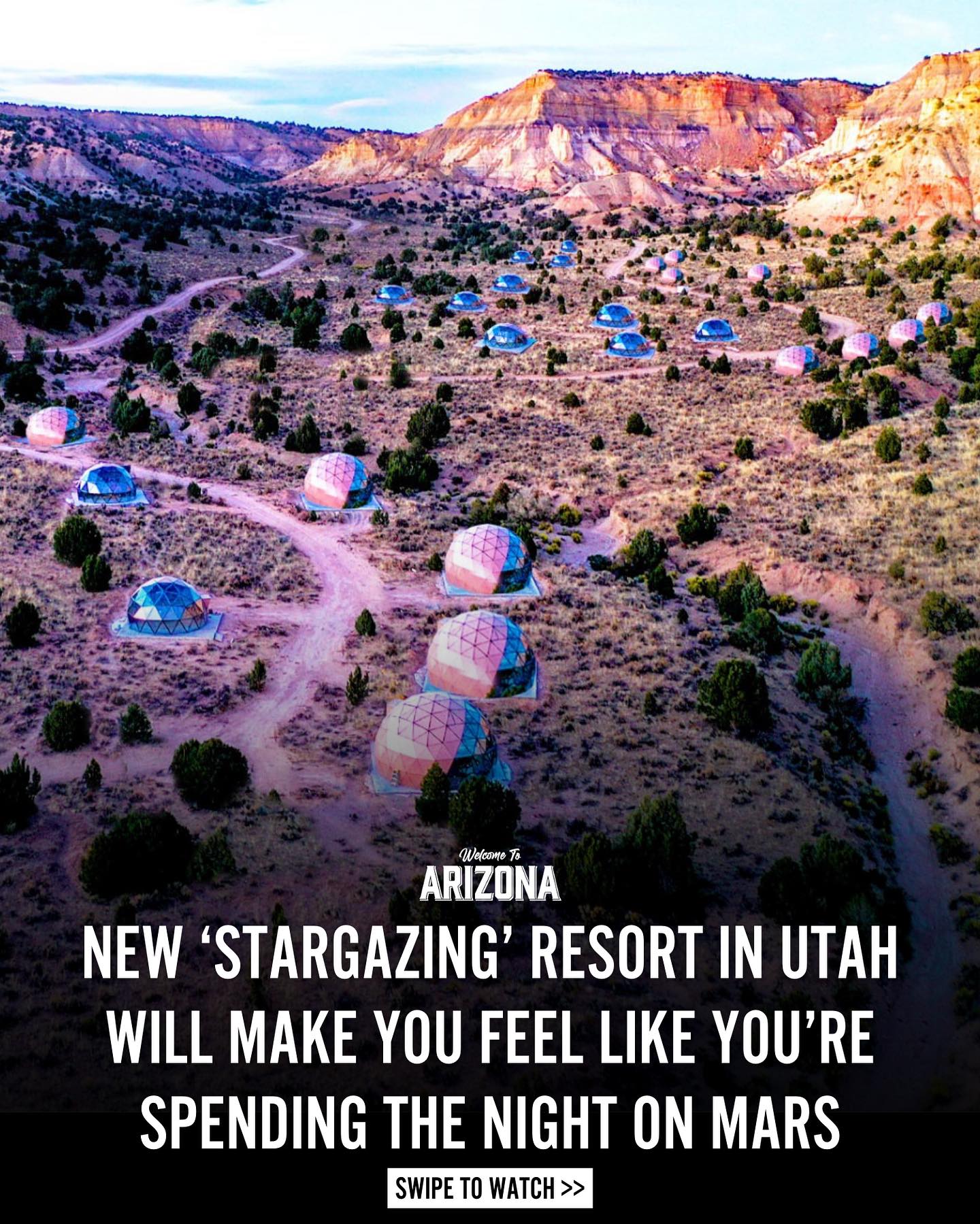
Colorful Hills Near Mars Research Station
Source:
@hellomallory

2 places on the map
Explore the map in the DocentPro app2 hikes in Utah: Bentonite Hills, The Mars Desert Research Station (MDRS). Every place is verified on Google Maps, featured in a Facebook post by hellomallory.

Bentonite Hills

Hiking area

4.7
Marvel at the vibrant, otherworldly geological formations, especially stunning from an aerial perspective. Visit during blue hour or on a cloudy day for the best color contrast and depth in your photos. Be sure to check road conditions, as rain can make access extremely difficult due to the clay composition.

The Mars Desert Research Station (MDRS)
Research institute
4.6
Discover the unique Mars Desert Research Station, a fascinating base for analog astronaut missions. While not typically open for tours, its remote location adds to the otherworldly feel of the surrounding desert landscape. It's a key navigational landmark for reaching the colorful Bentonite Hills.
Save these 2 places to your map
Keep every place on your own map in DocentPro, and add more as you browse.
More featured places in Utah
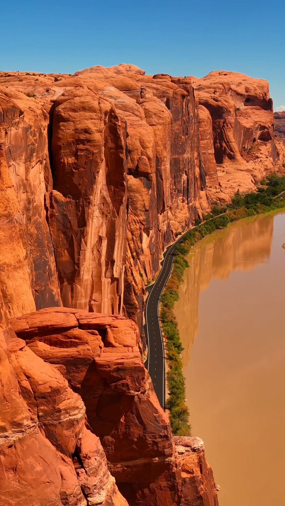
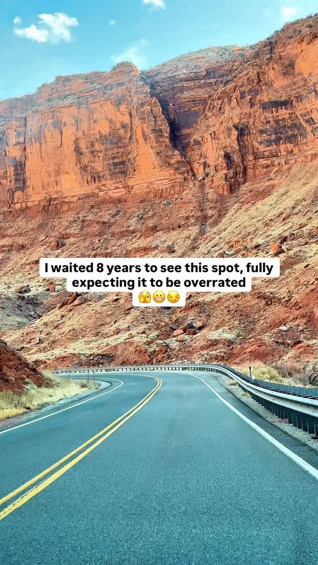
Explore Moab's Red Rocks and Natural Wonders
Arches National Park, Canyonlands National Park, Dead Horse Point State Park
Utah's Mighty Five National Parks Road Trip
Bryce Canyon National Park, Zion National Park, Capitol Reef National Park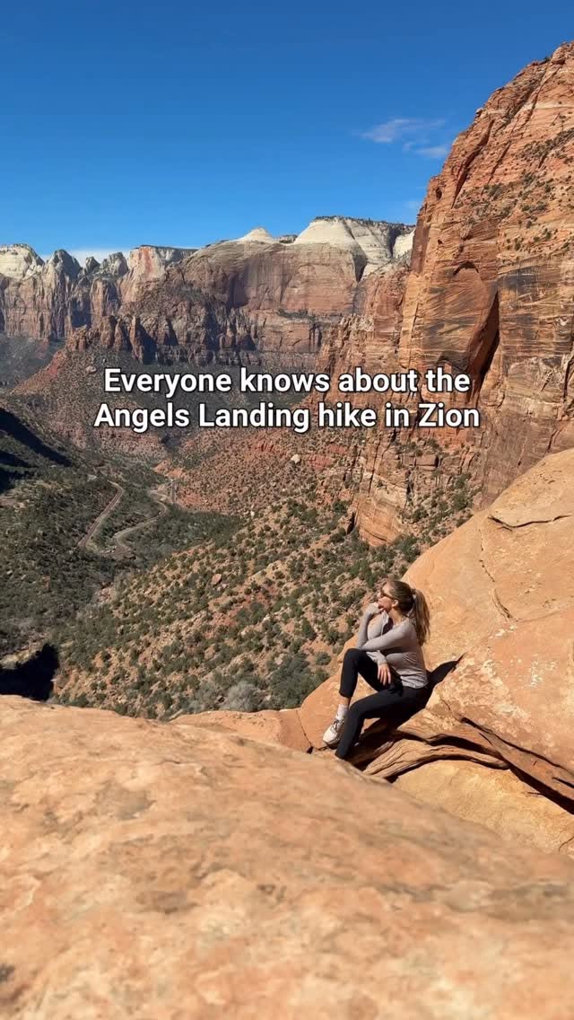
Zion National Park Hikes Without Permits
Zion National Park, Zion Canyon Visitor Center, Angels Landing Trail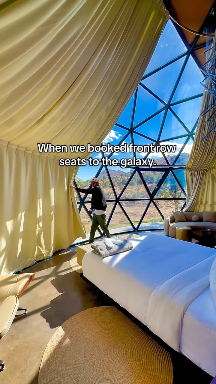
Stargazing Domes Offer Milky Way Views Near Bryce Canyon
Bryce Canyon National Park, Clear Sky Resorts - Bryce Canyon - Unique Stargazing Domes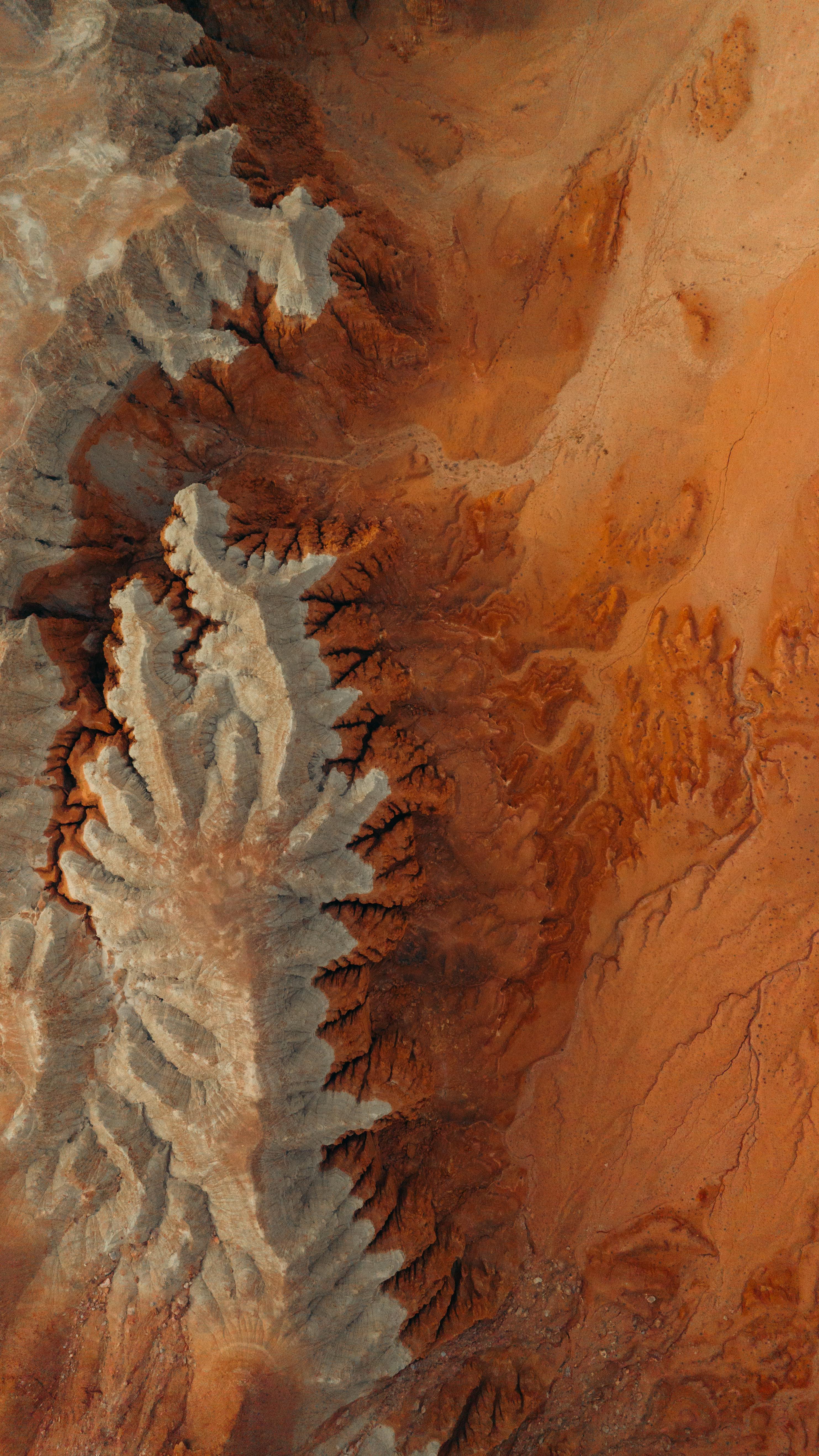
Utah National Parks And Desert Landscapes Road Trip
Las Vegas, Moab, Salt Lake City