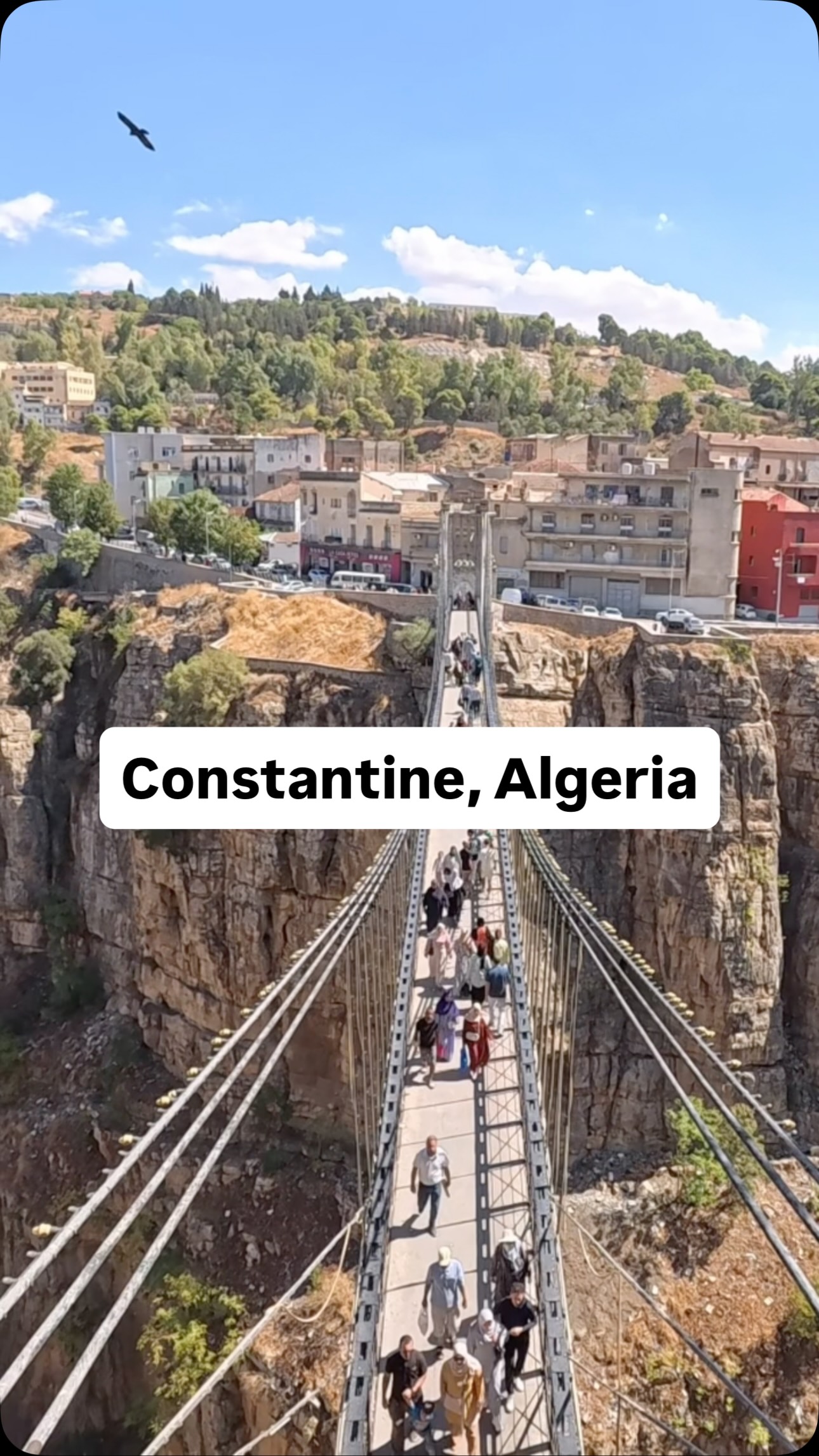
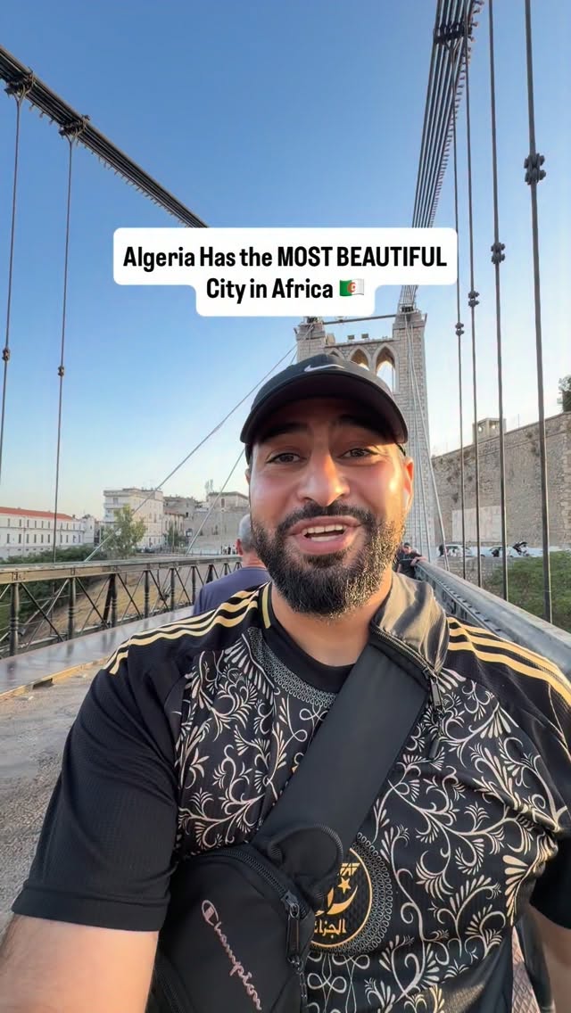
Constantine Bridges Span Rhumel Valley Gorge
Source:
@aljazeeradocumentary
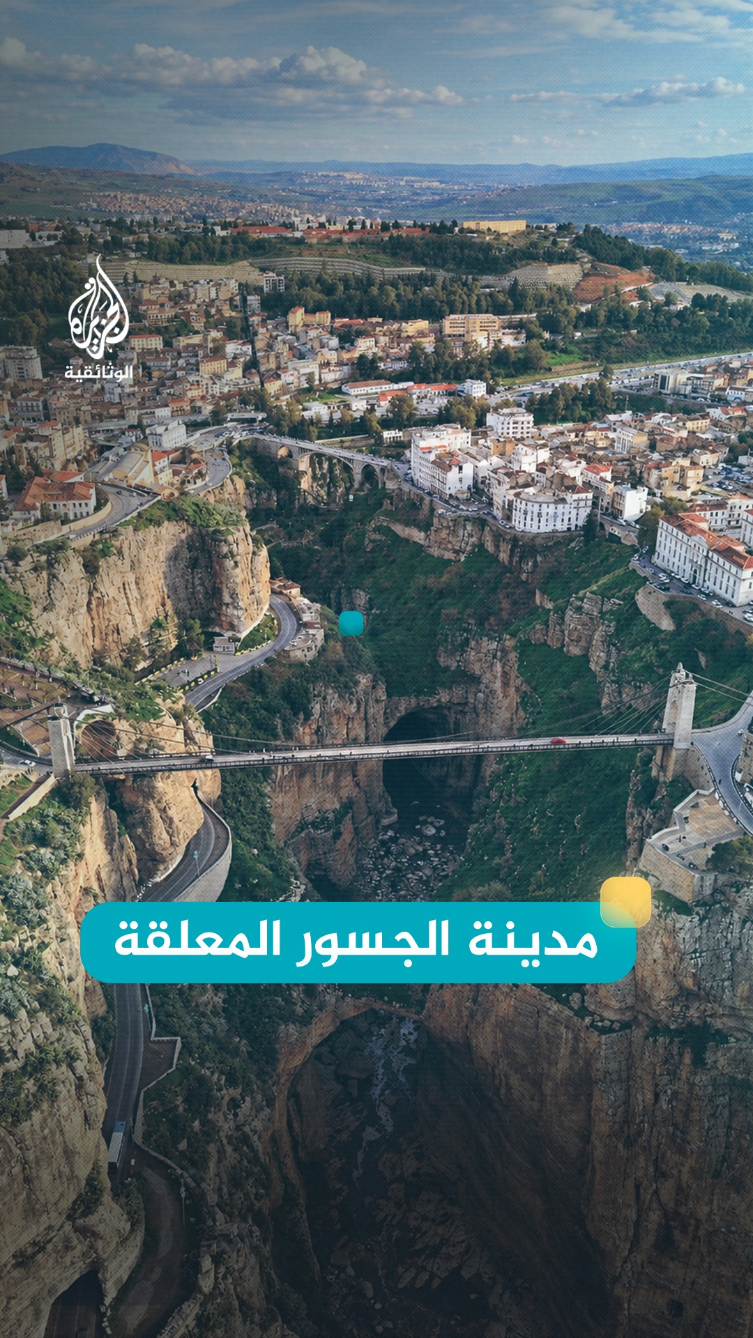
waterfalls
pedestrian bridges
valleys
rock formations
aerial views
bridges
historic city
gorge

3 places on the map
Explore the map in the DocentPro app3 places in Constantine: Pont Sidi M'sid, Mellah Slimane Bridge, Oued Rhumel. Every place is verified on Google Maps, featured in an Instagram post by الجزيرة الوثائقية.
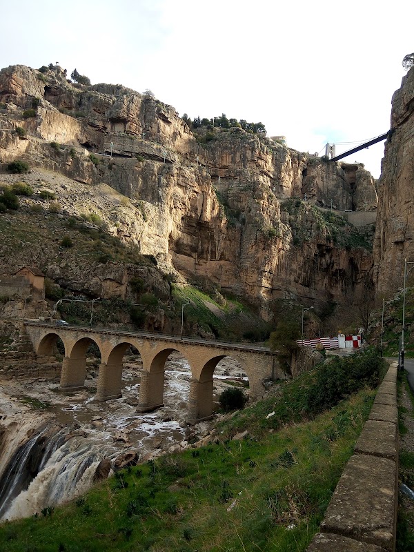
Pont Sidi M'sid

Place
• This historic bridge is about 170 meters long. • It rises approximately 175 meters above the gorge. • The bridge opened in 1912.
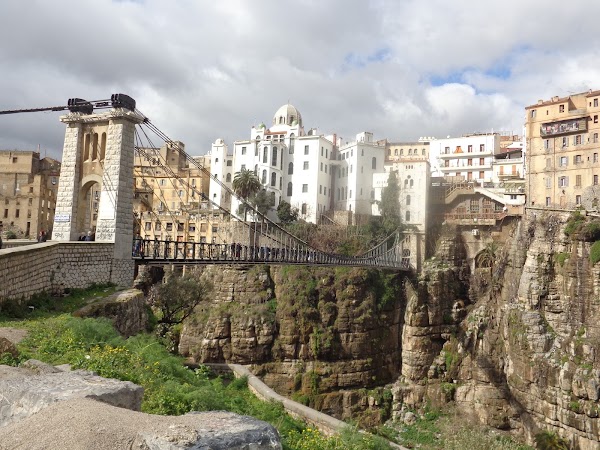
Mellah Slimane Bridge
Bridge

4.6
• This pedestrian-only bridge connects the train station area to the old city. • The bridge opened in 1925.
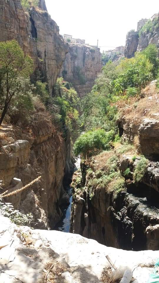
Oued Rhumel
River
4.5
• This gorge separates the rock formations of Constantine. • It is a major natural feature of the city's landscape.
Save these 3 places to your map
Keep every place on your own map in DocentPro, and add more as you browse.