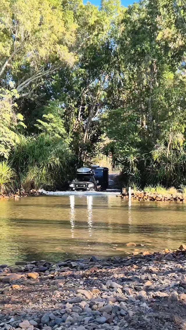
Discover Australia's Gibb River Road Natural Wonders
Source:
@Salt and Charcoal


Save places straight from any post.
Share an Instagram, TikTok, YouTube, Facebook, Google Maps or web link to DocentPro and every place in it lands on your map. This post became these 17.
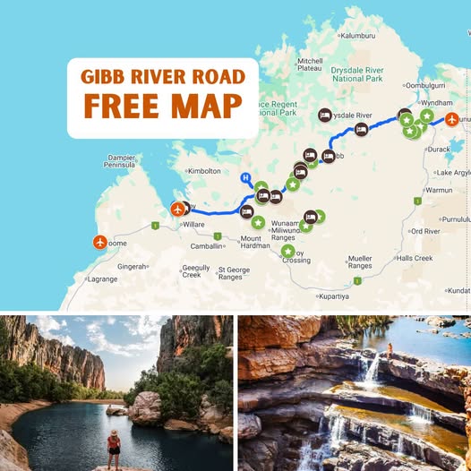

17 places on the map
Explore the map in the DocentPro app17 attractions in Western Australia: Gibb River-Wyndham Road, Emma Gorge, Zebedee Springs, and 14 more. Every place is verified on Google Maps, featured in a Facebook post by Salt and Charcoal.
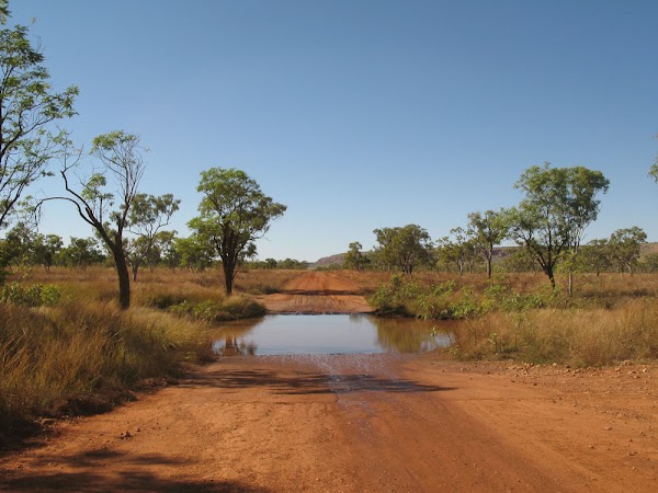
Gibb River-Wyndham Road

Place
• Drive this iconic 4WD track through Australia's Kimberley region. • Consider going in April or May for fuller waterfalls. • A proper 4WD is essential; expect corrugations. • Plan 10 to 14 days for the full experience.
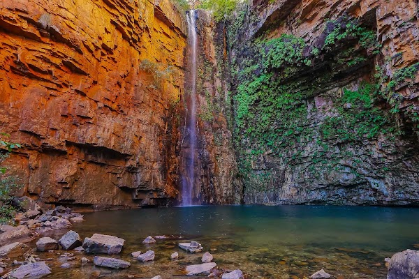
Emma Gorge

Landmark

4.6
• Swim at the end of a hike through a gorge. • Part of El Questro, offering a refreshing natural pool.
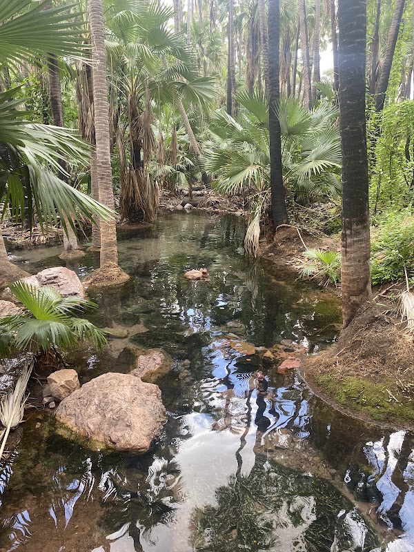
Zebedee Springs
Landmark
4.5
• Soak in the warm thermal pools for an early morning visit. ✓ Arrive early as access is often limited to mornings.

El Questro Road
Place
• Explore this vast wilderness park with gorges and springs. • Home to Emma Gorge and Zebedee Springs.
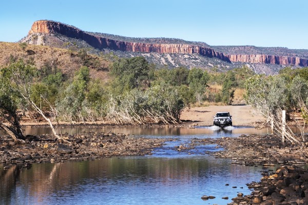
Pentecost River
River
5.0
• Stop for a photo with the Cockburn Ranges in the background. • Be aware of potential deep water crossings.
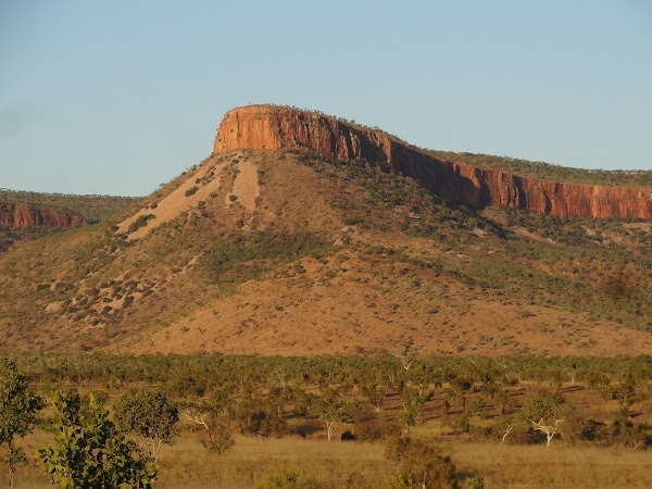
Cockburn Range
Mountain peak
5.0
• See dramatic, layered sandstone cliffs. • Best viewed from the Pentecost River crossing, especially at sunrise or sunset.
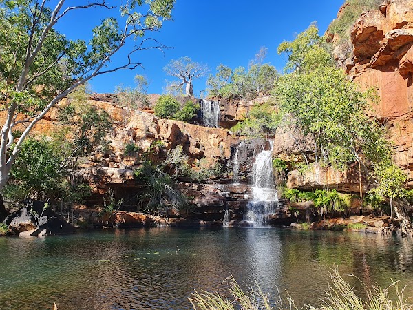
Galvans Gorge
Landmark
4.8
• Go for a quick, shady swim. • Easily accessible with a short walk to a waterhole, often with a rope swing.
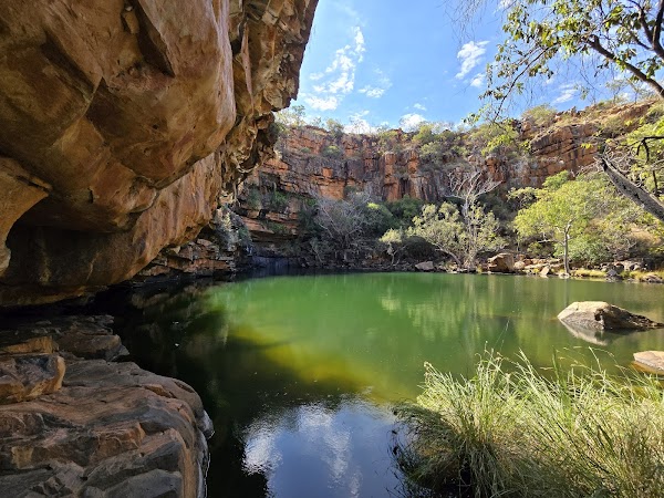
Adcock Gorge
Landmark
4.7
• Enjoy a quick, shady swim in a tranquil plunge pool. • Often less crowded than other gorges.
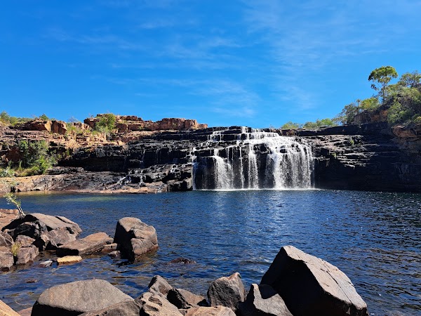
Manning Gorge
Landmark
4.7
• Start with a dinghy crossing, then hike to a large waterhole. • A great reward after the hike.
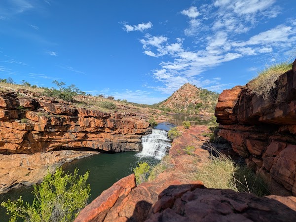
Bell Gorge
Landmark
4.8
• See tiered waterfalls and a perfect plunge pool. • Requires a rewarding descent to reach the swimming spot.
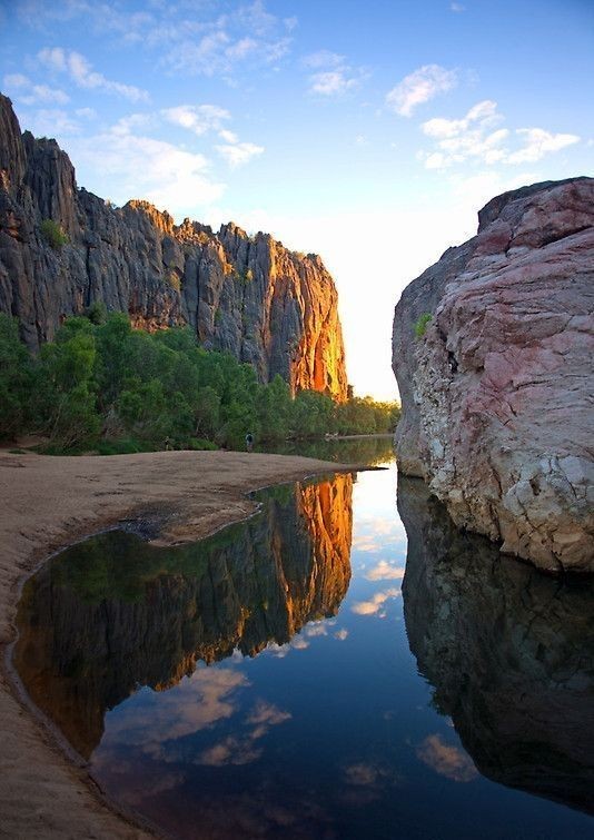
Bandilngan (Windjana Gorge) National Park
National park
4.7
• Spot freshwater crocodiles basking on sandy banks. • Walk through an ancient reef system transformed into a gorge.
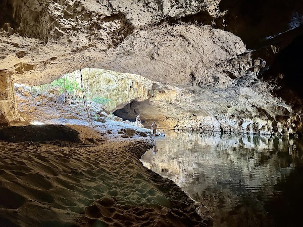
Dimalurru (Tunnel Creek) National Park
National park
4.7
• Walk through a cave system. • Learn about Bunuba history on the cave walk.
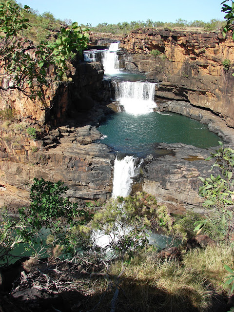
Mitchell Plateau
Place
• Explore a remote plateau known for Mitchell Falls. • Offers opportunities for heli-tours and multi-day hikes.
Drysdale River
Place
• Experience the remote beauty of this river system. • It is a key feature of Drysdale River National Park.
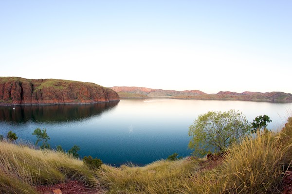
Lake Argyle
Lake
4.8
• Discover one of the world's largest man-made lakes. • Enjoy cruises, swimming, and abundant wildlife viewing.
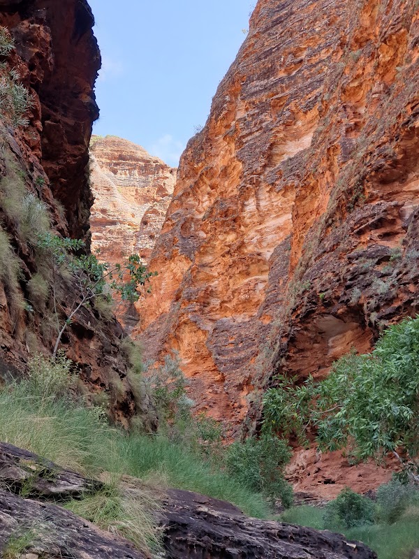
Purnululu
Place
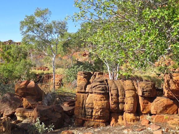
• See the unique, beehive-shaped domes of the Bungle Bungle Range. • This World Heritage site offers spectacular gorges and walks. • Helicopter tours provide the best aerial views.
Halls Creek
Place
• Visit this historic town, a gateway to the southern Kimberley region. • It's a useful stop for supplies and fuel. • Discover the local indigenous art and culture.
Save these 17 places to your map
Keep every place on your own map in DocentPro, and add more as you browse.
More featured places in Western Australia
Five Australian Beaches Perfect For A Summer Road Trip
Busselton Foreshore, Misery Beach, Wharton Beach
Western Australia's Top Esperance Beaches
Lucky Bay, Hellfire Bay, Wharton Beach
Free Campsites Around Australia
Lake Pamamaroo, Coppins Gap, Lake Johnston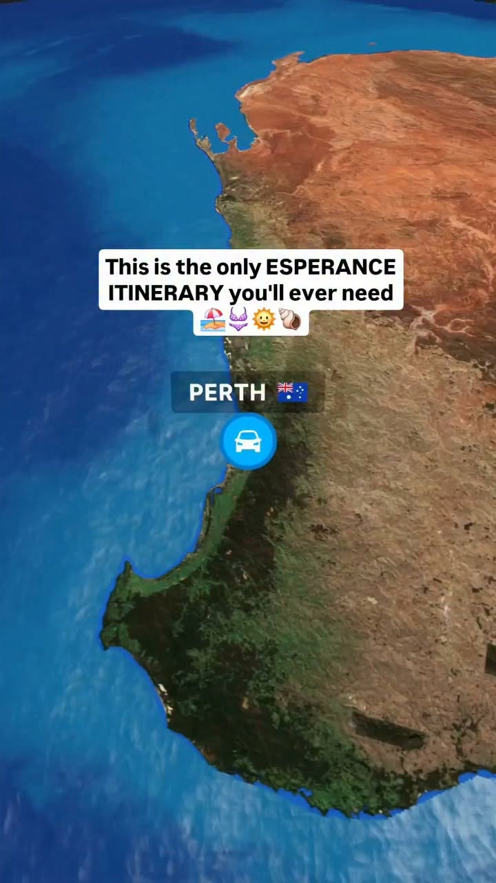
Esperance National Parks, Beaches, and Natural Wonders
Cape Le Grand National Park, Pink Lake, Lucky Bay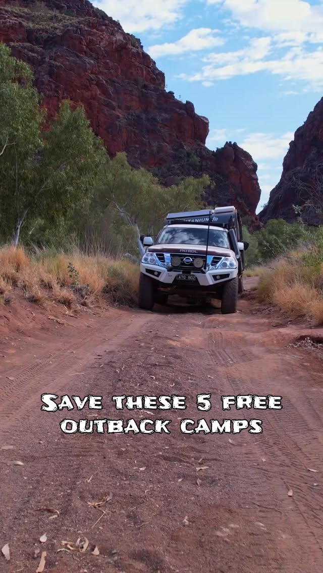
Five Beloved Free Campsites Across Australia
Lake Pamamaroo, Coppins Gap, Lake Johnston