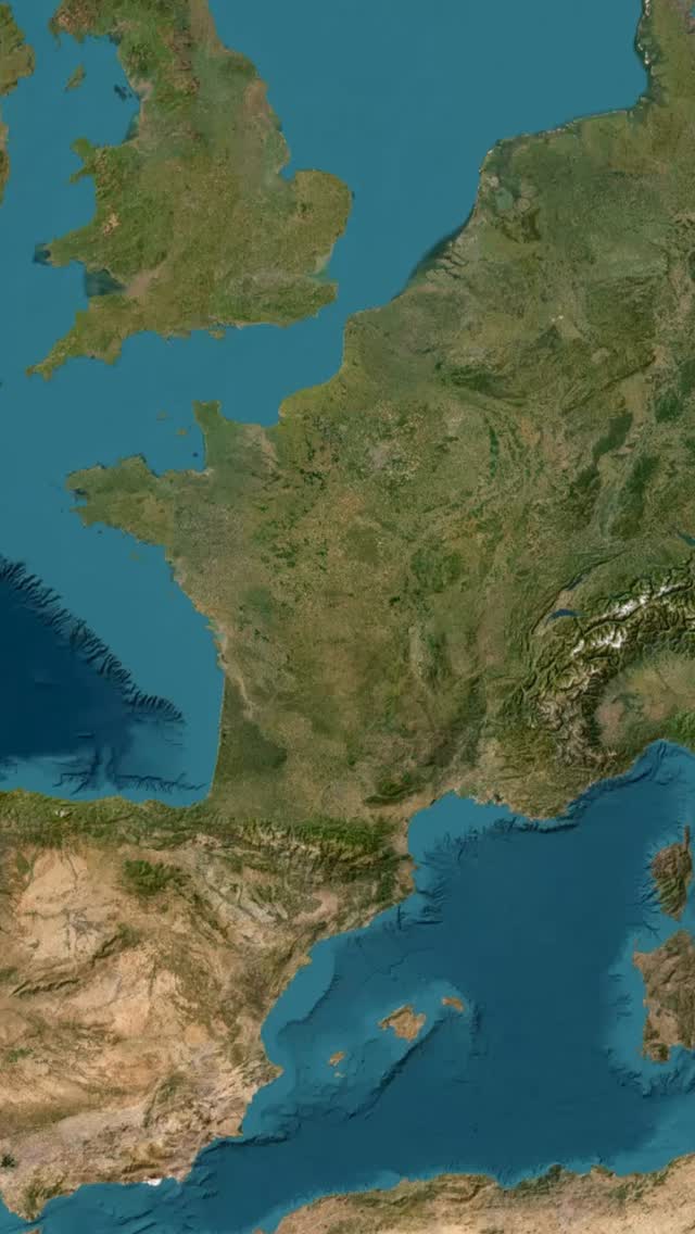
Discover Cantal's Volcanic Landscapes Via Puy Mary
Source:
@FlitterAssurance


Save places straight from any post.
Share an Instagram, TikTok, YouTube, Facebook, Google Maps or web link to DocentPro and every place in it lands on your map. This post became these 6.
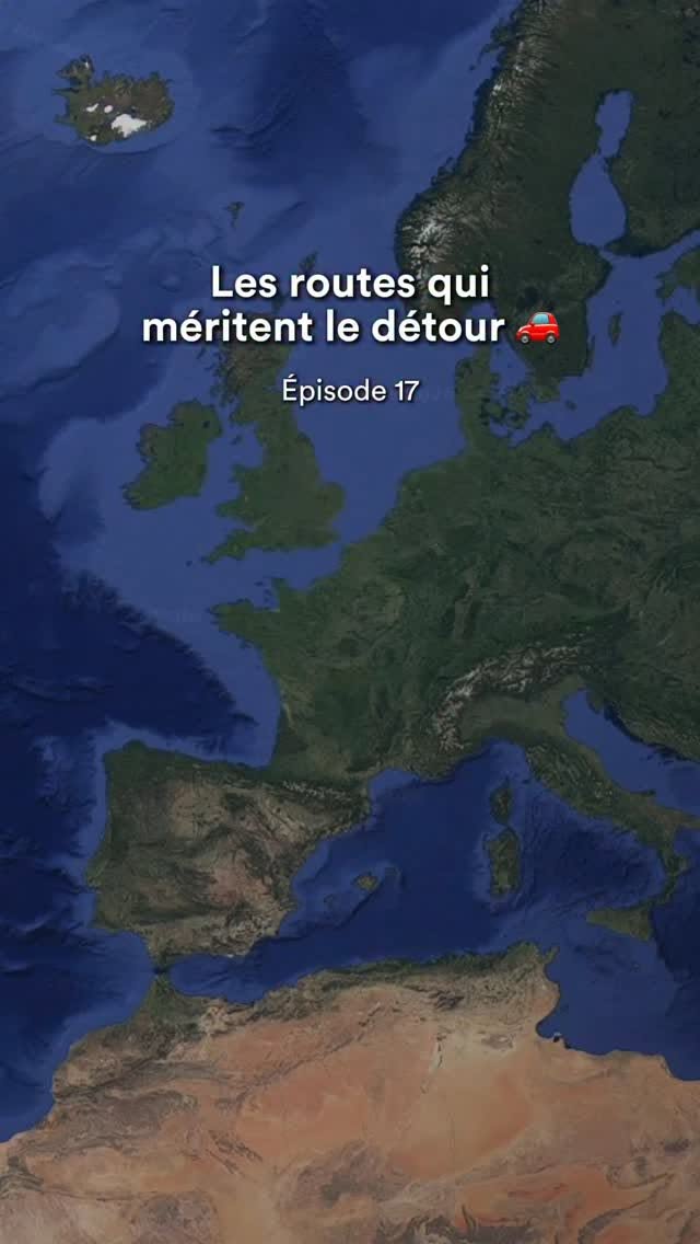

6 places on the map
Explore the map in the DocentPro app6 places in Auvergne-Rhône-Alpes: Puy Mary, Pas de Peyrol, Salers, and 3 more. Every place is verified on Google Maps, featured in a Facebook post by FlitterAssurance.
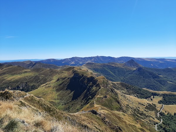
Puy Mary

Mountain peak

4.8
• Reach the summit in about 30 minutes from Pas de Peyrol. • Located at the heart of Europe's largest stratovolcano remnant.
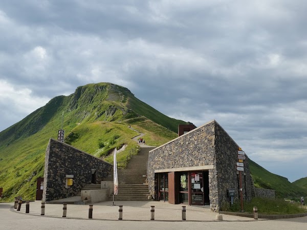
Pas de Peyrol
Natural feature
4.7
• Highest road pass in the Massif Central at 1,589 meters. ✓ Roads are open from May to October; dates vary by weather. • Drive the D680 from Salers for volcanic landscapes. • Go in the morning for softer light and less traffic.
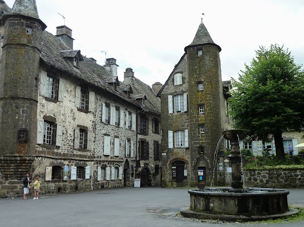
Salers
Place
• Classified as one of "The Most Beautiful Villages of France." • Start point for the scenic D680 drive to Pas de Peyrol.
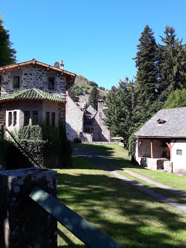
Dienne
Place
• Continue your scenic drive through volcanic landscapes from Pas de Peyrol to Dienne.
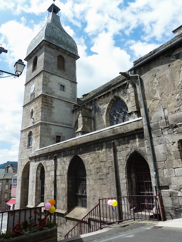
Murat
Place
• Continue your scenic drive through volcanic landscapes from Pas de Peyrol to Murat.
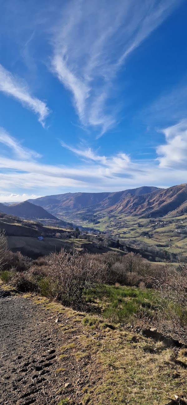
Vallée de la jordanne
Hiking area
4.5
• Combine a visit with the road trip for more Cantal discoveries.
Save these 6 places to your map
Keep every place on your own map in DocentPro, and add more as you browse.
More featured places in Auvergne-Rhône-Alpes
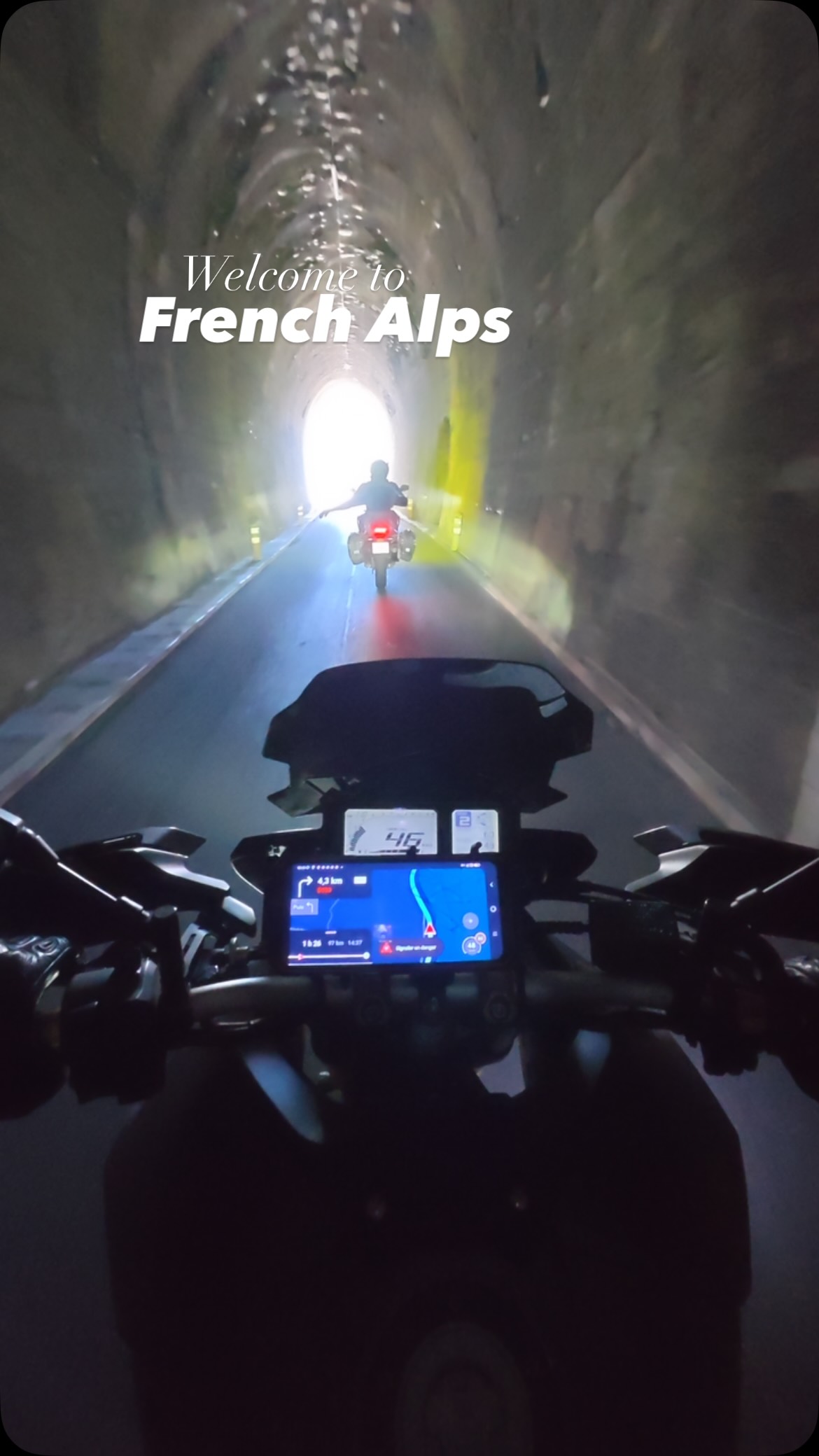
French Alps Destinations
Auvergne-Rhône-Alpes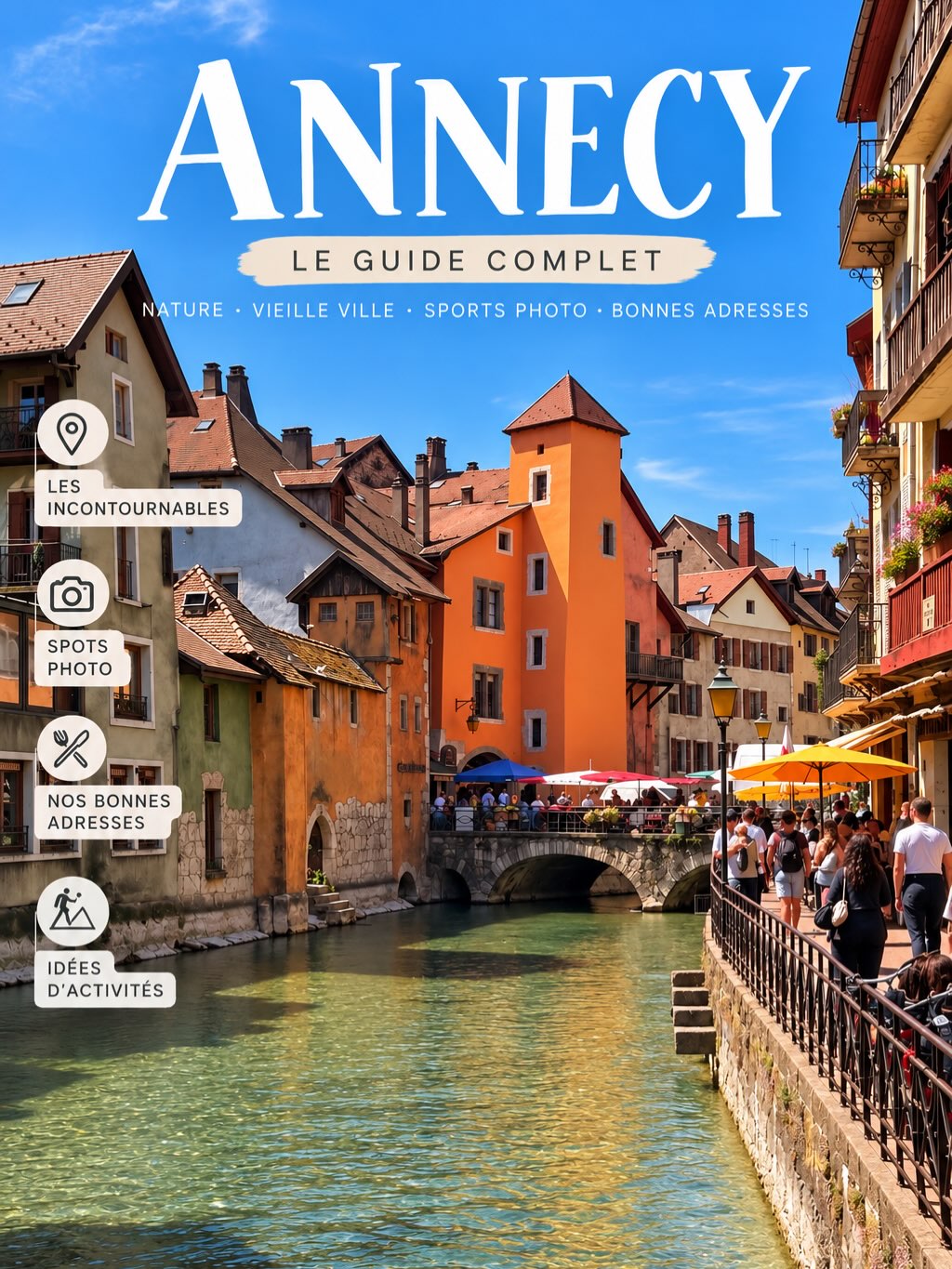
Discover Annecy's Best Attractions and Activities
Pont des Amours, Gorges du Fier, Annecy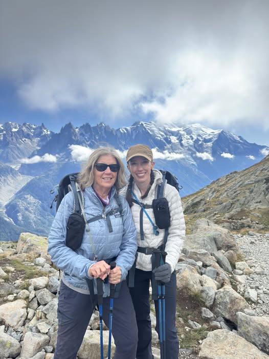
Alpine Adventure: Mother and Daughter Hike Mont Blanc Region
Rifugio Giorgio Bertone, Le Mont-Blanc, Col de Tricot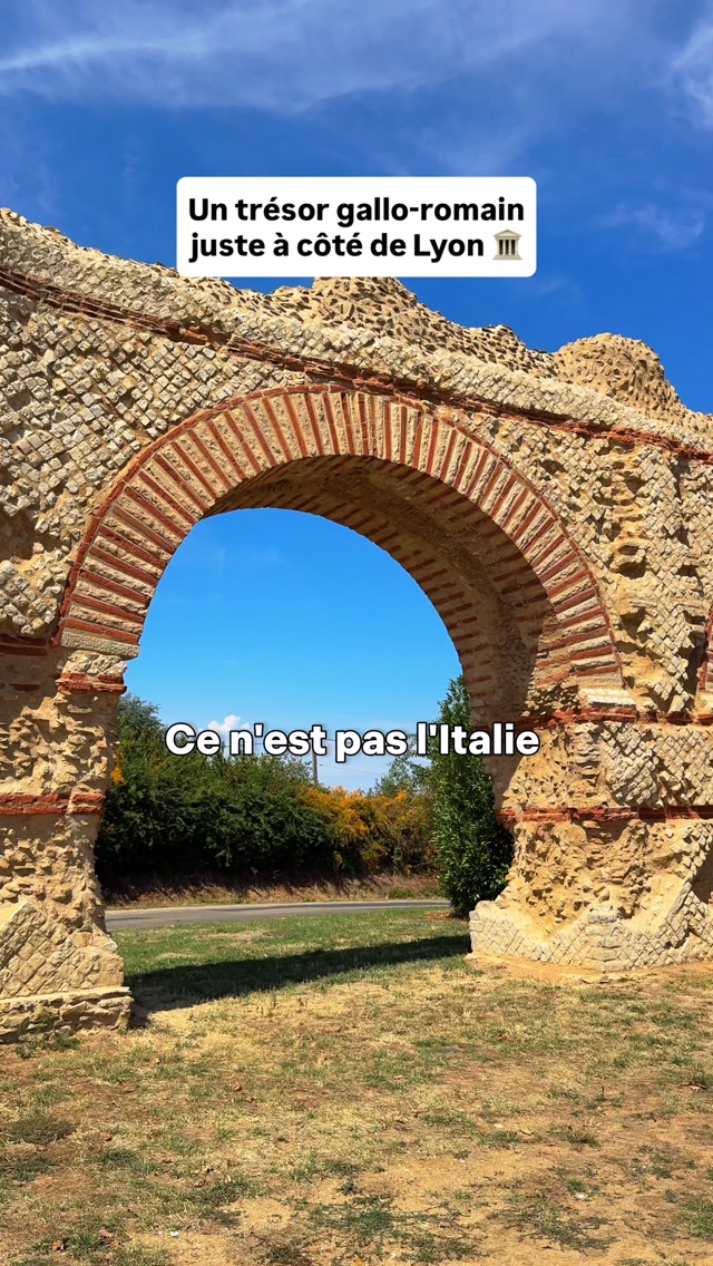
Roman Aqueduct and Regional Park Near Lyon
Parc naturel régional du Pilat, Gier Roman Aqueduct