Donghae's Mureung Valley Hiking Trails
Source:
@aaasan_
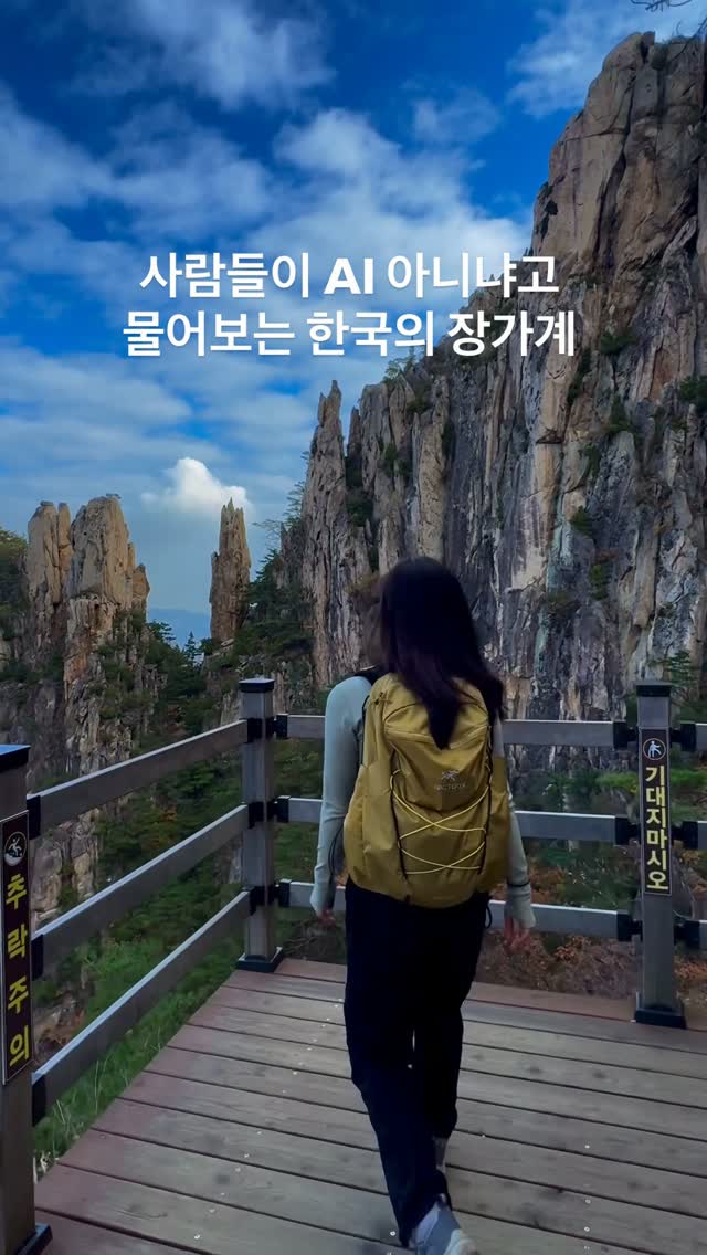

6 places on the map
Explore the map in the DocentPro app6 attractions in Donghae-si: 베틀바위, 무릉계곡 관리사무소, 미륵바위, and 3 more. Every place is verified on Google Maps, featured in an Instagram post by 산타는졍아.
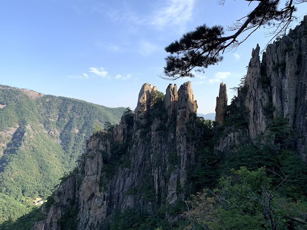
베틀바위

Hiking area

4.7
• Majestic rock formations and autumn foliage • Recommended for autumn hiking • Multiple hiking courses available from Mureung Valley
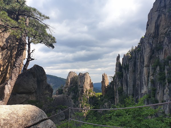
무릉계곡 관리사무소
Place
4.3
• Starting and ending point for various hiking courses up Duta Mountain • Two courses: a 1-hour round trip to Battle Rock Observatory, or a 5-hour, 7.7km full course
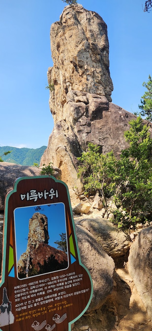
미륵바위

Landmark
4.5
• A rock formation along the longer Duta Mountain hiking course • Part of the 7.7 km, 5-hour route
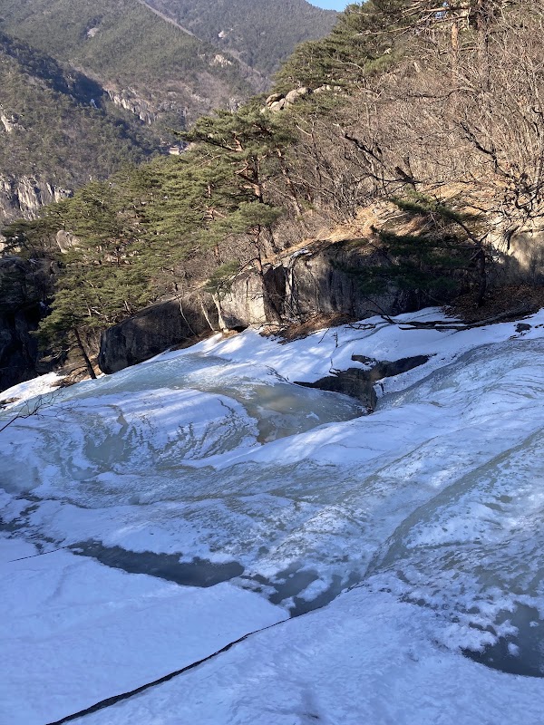
산성12폭포
Landmark
5.0
• A series of twelve waterfalls on the Duta Mountain hiking course • Included in the 7.7 km, 5-hour hiking route
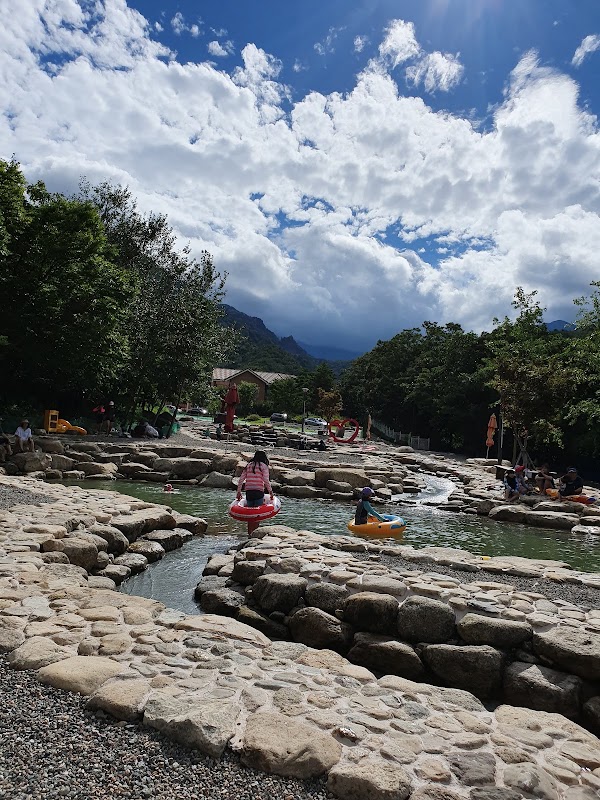
동해 무릉 오선녀탕
Swimming pool
4.5
• A natural pool or waterfall along the Duta Mountain hiking course • Part of the longer 7.7 km, 5-hour route
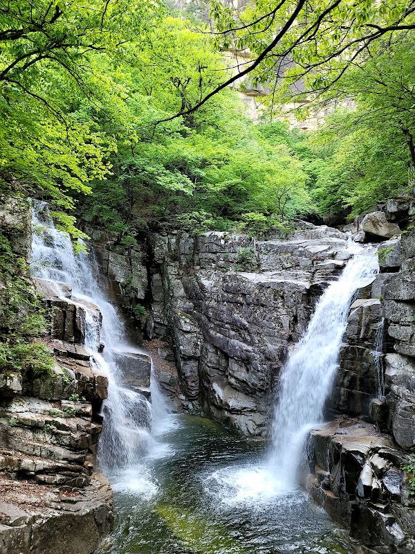
용추폭포
Natural feature
4.5
• A prominent waterfall on the Duta Mountain hiking course • Included in the 7.7 km, 5-hour hiking route
Save these 6 places to your map
Keep every place on your own map in DocentPro, and add more as you browse.
More featured places in Donghae-si
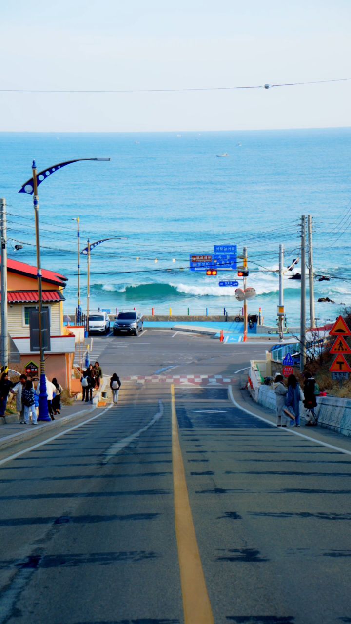
Popular Spots in Mukho, South Korea
Mukho Lighthouse, 어달항, 어달삼거리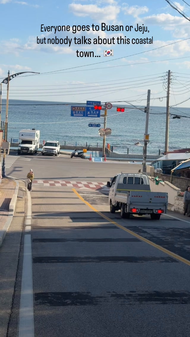
Coastal Charm Of Mukho's Seaside Streets
Donghae Nongoldam-gil Road, Mukho Lighthouse, Mukho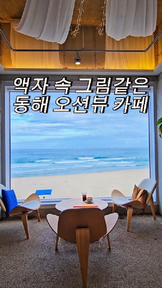
Ocean View Cafe Near Chuam Beach
Chuam Beach, 12월 22일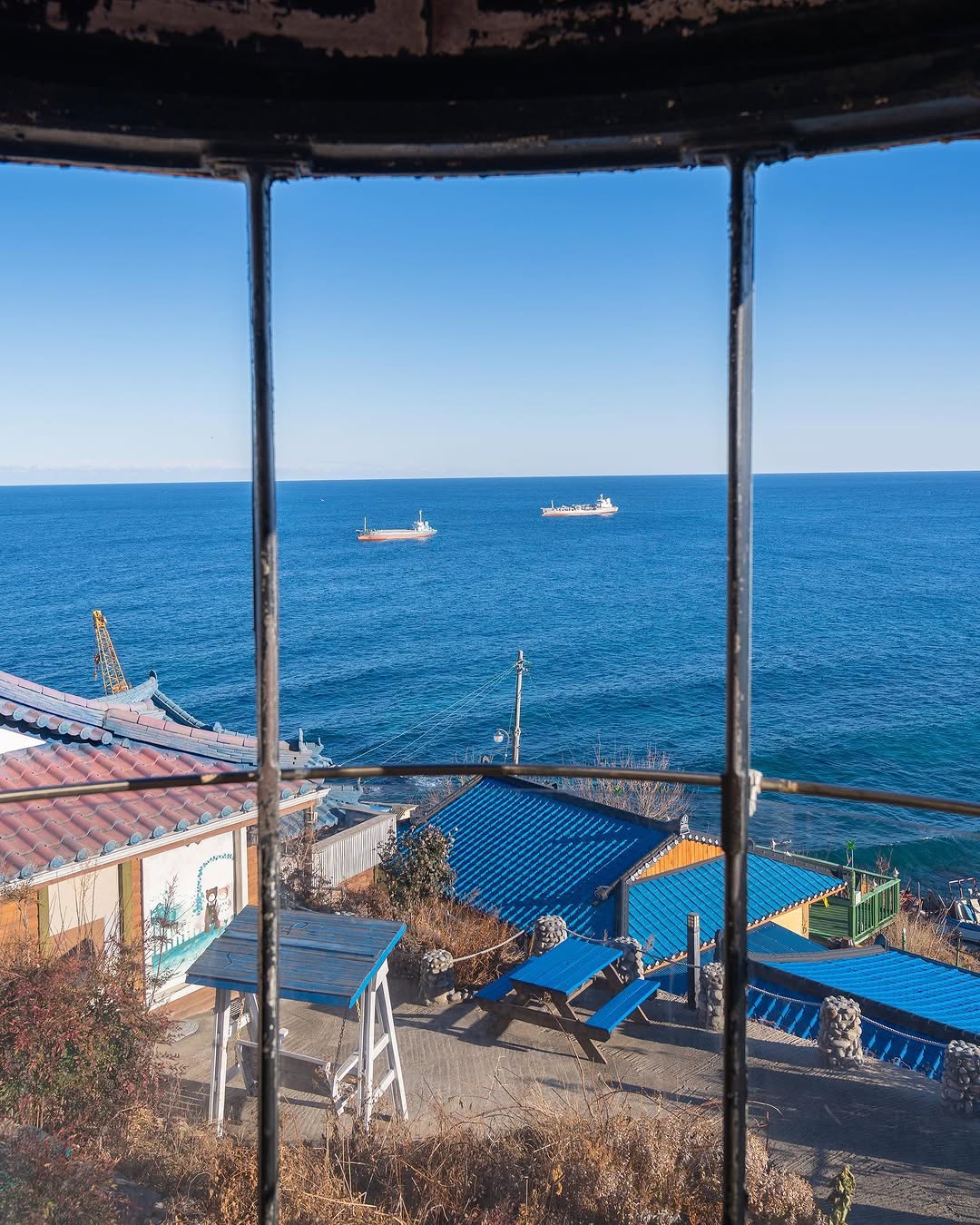
Coastal Villages and Cafes With Ocean Views
Donghae Nongoldam-gil Road, Twosome Place Donghae Eodal Beach Branch, HARU COFFEE HOUSE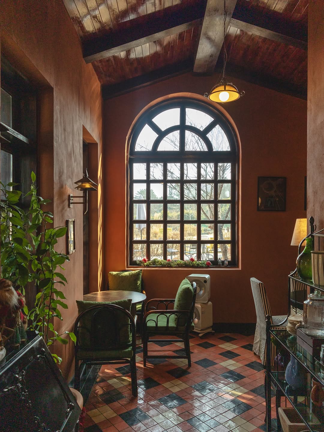
Mukho British-Style Cafe Offers Unique Experience
카페 현상소