Faroe Islands Landscapes Villages Mountains Waterfalls Guide
Source:
@teach.travel.tales


Save places straight from any post.
Share an Instagram, TikTok, YouTube, Facebook, Google Maps or web link to DocentPro and every place in it lands on your map. This post became these 12.

12 places on the map
Explore the map in the DocentPro app12 attractions in Faroe Islands: Mykines, Sørvágsvatn, Gjógv, and 9 more. Every place is verified on Google Maps, featured in an Instagram post by Stephen & Melina | Adventure Travel Couple.
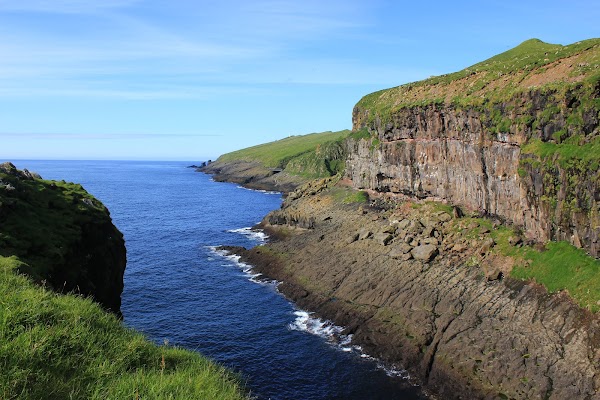
Mykines

Island

4.5
• See thousands of puffins nesting on dramatic cliffs. • The ferry ride offers stunning coastal views. • Plan for a full day to explore the island. • Spot puffins from April to early September.
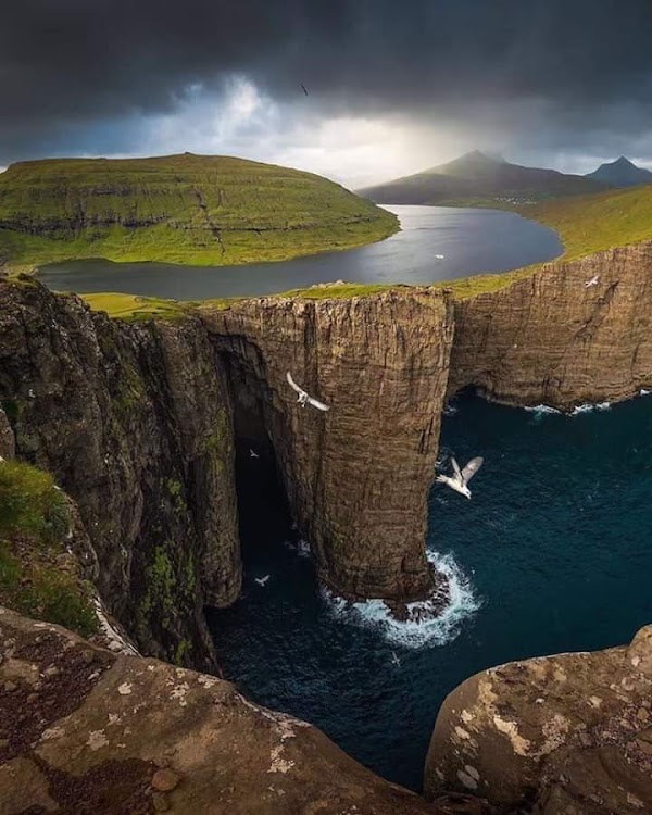
Sørvágsvatn
Lake
4.8
• Hike to the optical illusion of a 'lake above the ocean'. • The trail offers breathtaking views of cliffs and the sea. ✓ Wear sturdy shoes as the terrain can be uneven.
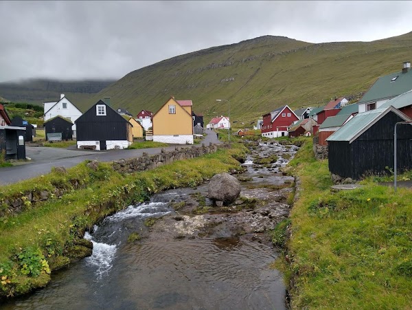
Gjógv
Place
• Explore this picturesque village with a natural gorge acting as a harbor. • Walk along the cliffs to spot seabirds. • See the charming turf-roofed houses.
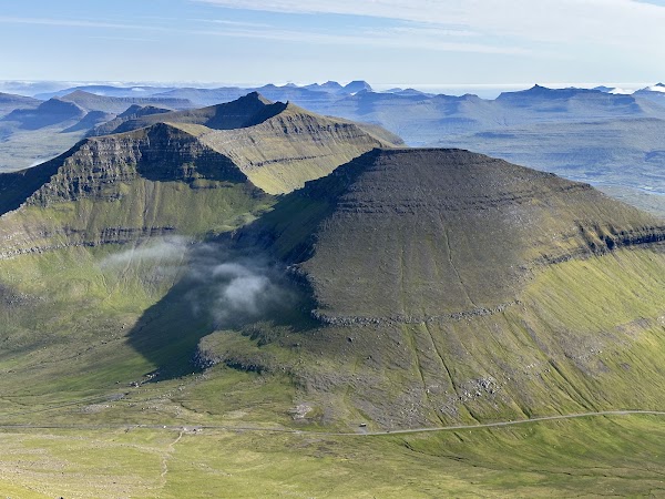
Slættaratindur
Mountain peak
4.8
• Hike the highest mountain for panoramic views of the archipelago. • The hike is challenging but rewarding on clear days. • Pack layers as weather changes rapidly at the top.
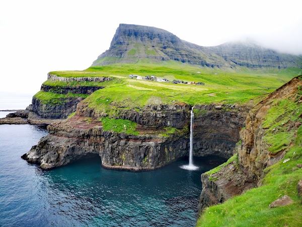
Múlafossur Waterfall

Landmark
4.9
• Witness the iconic waterfall cascading directly into the ocean. • This easily accessible spot offers great photo opportunities. • Arrive early for the best light and fewer crowds.
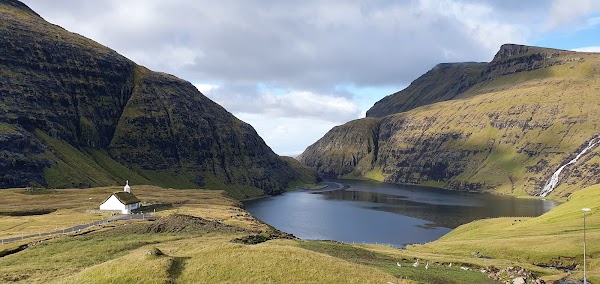
Saksun
Place
• Discover a secluded village with stunning turf houses and a black sand beach. • Walk along the tidal lagoon to experience the unique landscape. ✓ Check tide times before visiting the beach.
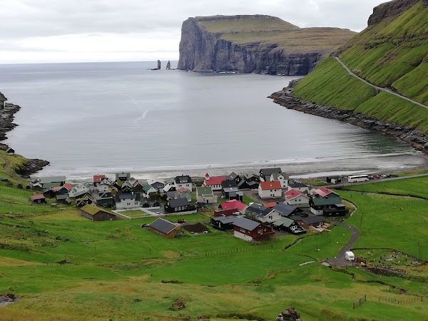
Tjørnuvík
Place
• Experience one of the best road trip reveals upon entering this village. • Enjoy views of the 'Giant and the Hag' sea stacks from the black sand beach. • The dramatic coastal drive is an adventure.
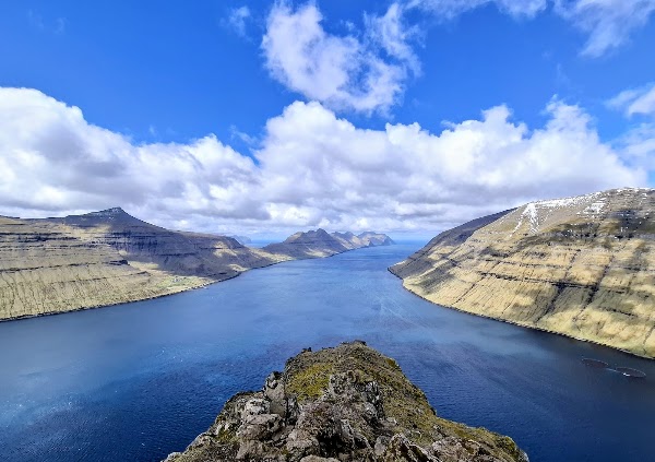
Hiking Klakkur
Scenic spot
4.8
• Take a short hike for magnificent views over Klaksvík and the surrounding islands. • The vista from the top is rewarding, especially at sunrise or sunset. • The path can be windy, so dress appropriately.
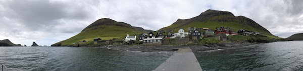
Bøur
Place
• Enjoy traditional turf-roofed houses and views of Drangarnir sea stacks. • It's a quick, beautiful stop for photos. • Ideal for a short break during your drive.
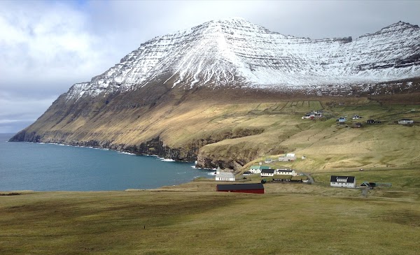
Viðareiði
Place
• Explore the northernmost village, surrounded by rugged scenery and high cliffs. • It's a base for exploring the northern islands. • Hike to the top of Villingardalsfjall for expansive panoramas.
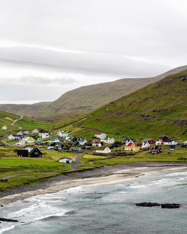
Sandoy
Island
4.3
• Discover wild, windy landscapes and charming small villages. • It offers a more authentic, peaceful experience. • Perfect for hikers seeking solitude and remote coastal beauty.
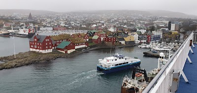
Tórshavn
Place
• Wander through Tinganes peninsula with historic turf-roofed buildings. • Explore the vibrant cultural scene of the capital. • Visit cozy cafes and museums by the picturesque harbor.
Save these 12 places to your map
Keep every place on your own map in DocentPro, and add more as you browse.
More featured places in Faroe Islands
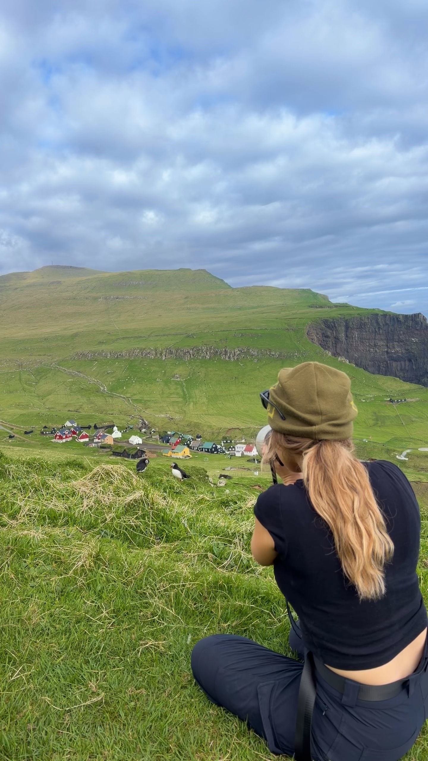
Faroe Islands Exploration of Nature, Wildlife, and Culture
Mykines, Faroe Islands, Sørvágsvatn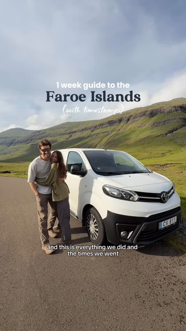
Faroe Islands Camper Van Guide: Nature, Villages, Food
Tórshavn, Saksun, Sørvágsvatn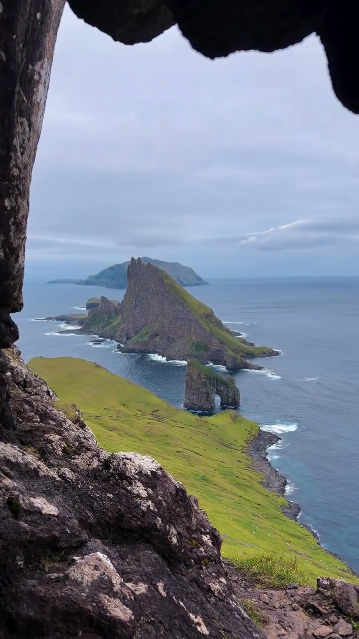
Faroe Islands Cave Views Of Drangarnir Sea Stacks
Faroe Islands, Drangarnir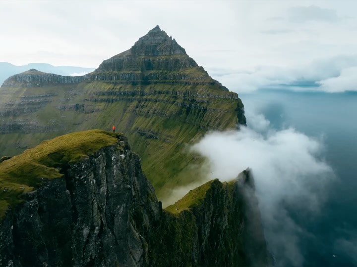
Faroe Islands Cliffs and Coastal Views
Kallur Lighthouse, Faroe Islands, Mylingur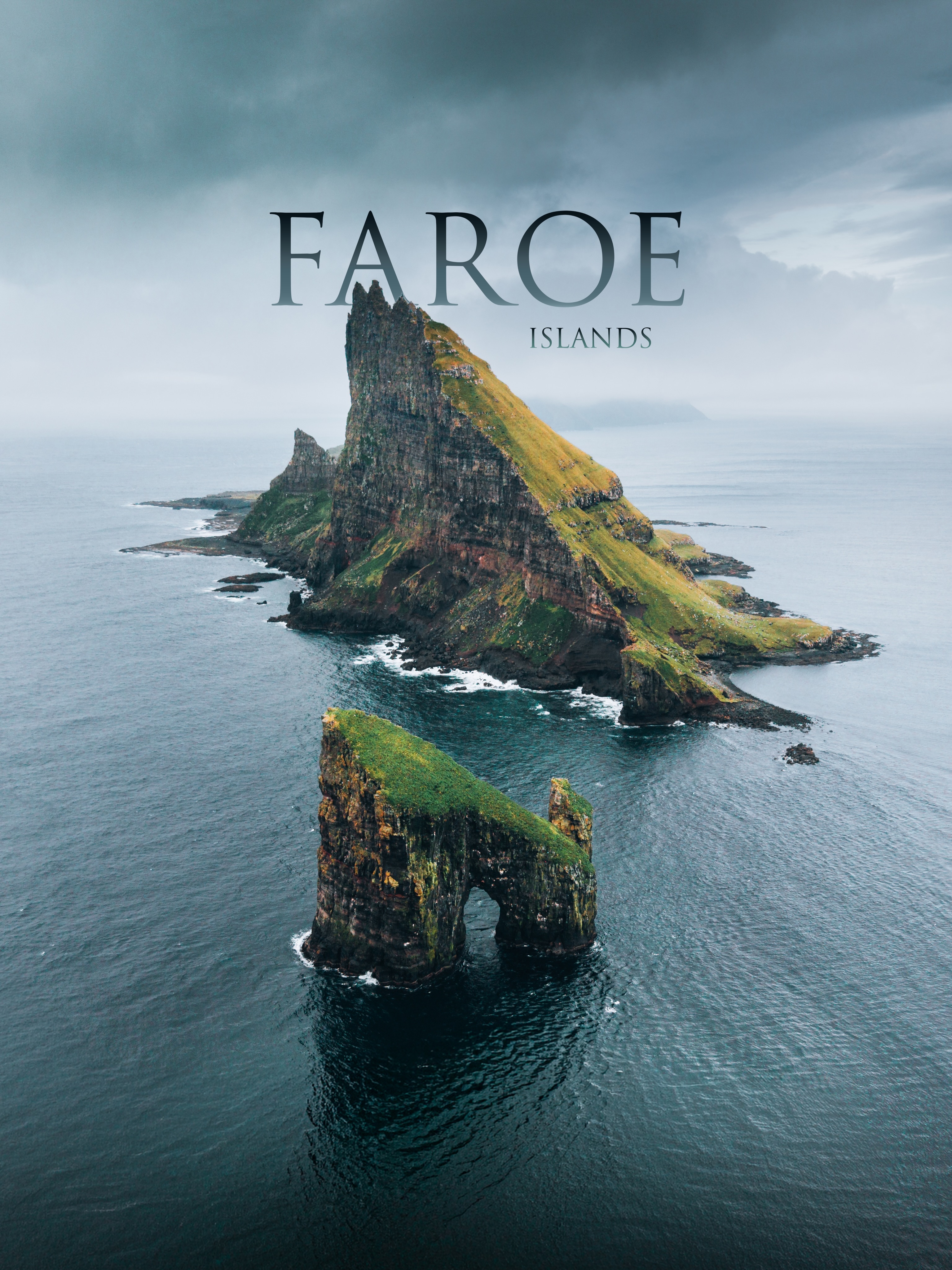
Faroe Islands' Iconic Waterfalls, Cliffs, and Villages
Sørvágsvatn, Múlafossur Waterfall, Kallur Lighthouse