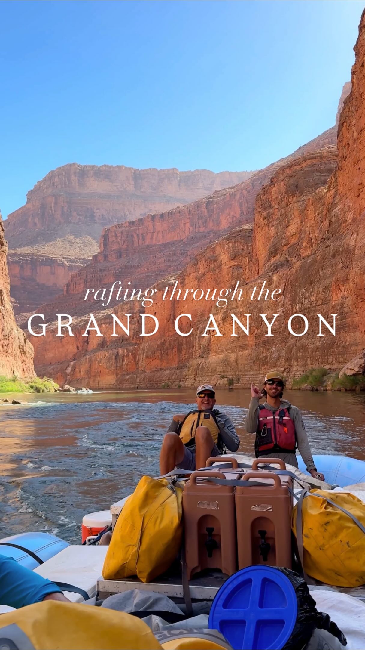
Grand Canyon Trails and Hikes
Source:
@thewanderdiary


Save places straight from any post.
Share an Instagram, TikTok, YouTube, Facebook, Google Maps or web link to DocentPro and every place in it lands on your map. This post became these 11.

11 places on the map
Explore the map in the DocentPro app11 places in Arizona: Grand Canyon National Park, Ooh Aah Point, Cedar Ridge, and 8 more. Every place is verified on Google Maps, featured in an Instagram post by Morgan Dufrene & Connor Ursin | Travel Creators.
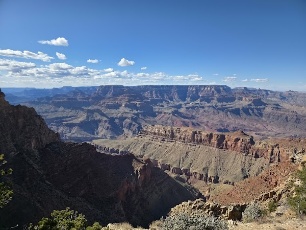
Grand Canyon National Park

National park

4.8
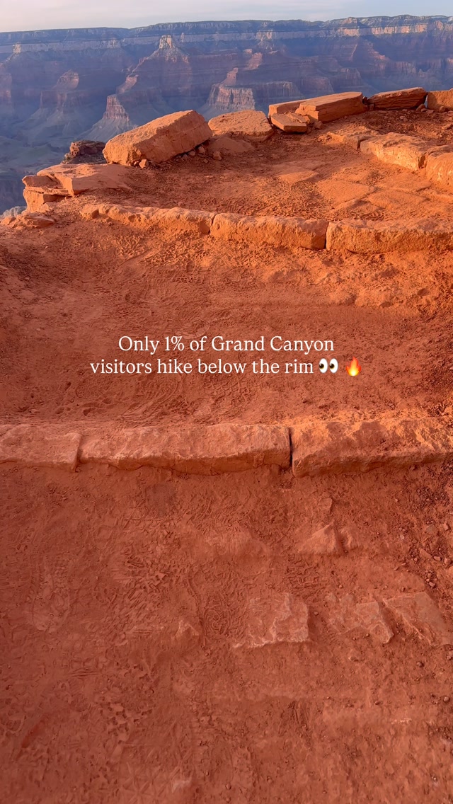
• Hike below the rim to experience the Grand Canyon from the inside. • Remember, hiking down is the easy part. • Every step into the canyon adds another step you must climb back out. • Temperatures can be dramatically hotter below the rim.
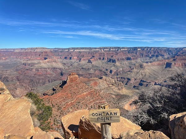
Ooh Aah Point

Landmark
4.9
• A short hike for huge views with minimal mileage. • 1.8 miles round trip.

Cedar Ridge
Place
• A deeper South Kaibab hike with panoramic views. • 3 miles round trip.
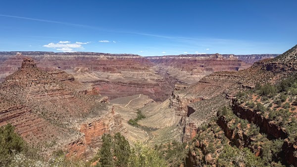
1.5 Mile Resthouse
Rest stop
4.7
• A classic introduction to Bright Angel Trail. • Features plenty of switchbacks. • 3 miles round trip.
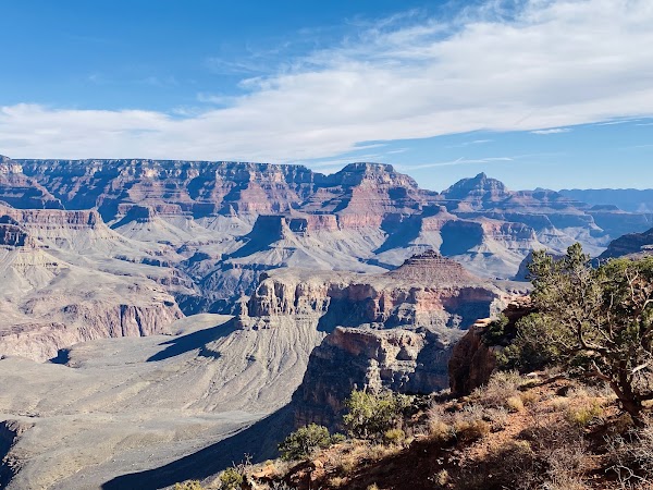
Skeleton Point
Hiking area
4.9
• One of the best places to catch your first glimpse of the Colorado River. • 6 miles round trip.
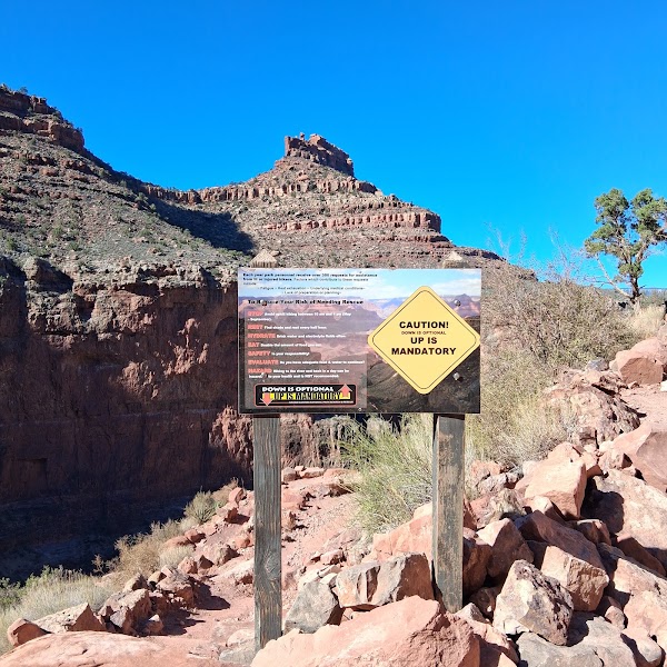
Three Mile Resthouse
Rest stop
4.8
• A challenging Bright Angel hike. • Descends more than 2,000 feet. • 6 miles round trip.
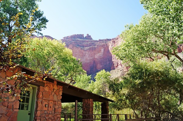
Havasupai Gardens Campground
Campground
4.8
• An inner canyon oasis with shade, seasonal water, and restrooms. • 9 miles round trip.
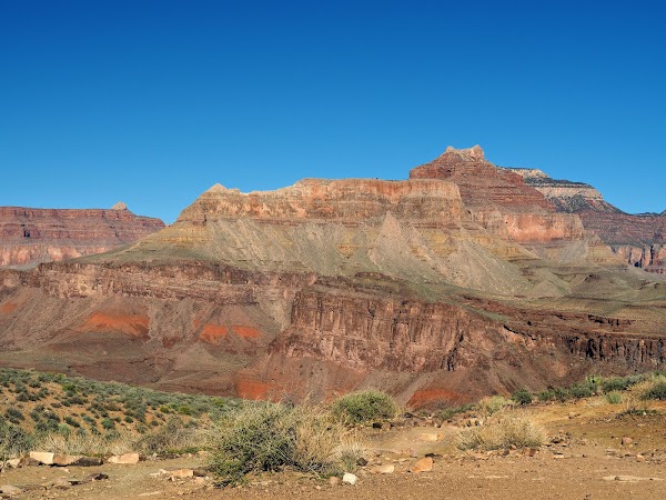
South Kaibab Trail
Place
4.8
• Part of a strenuous 13-mile route connecting to Bright Angel via Tonto Trail. • Hike to Cedar Ridge or Skeleton Point for stunning views.
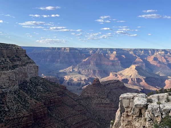
Bright Angel Trail
Place
4.9
• Part of a strenuous 13-mile route connecting from South Kaibab via Tonto Trail. • Offers a challenging ascent from the canyon depths.
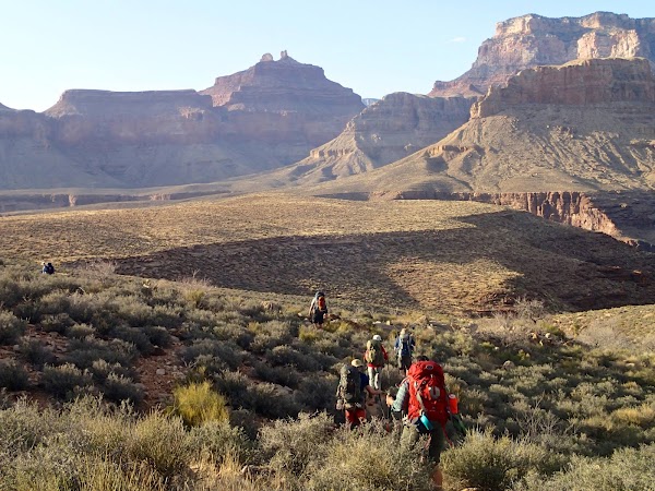
Tonto Trail
Place
• Connects South Kaibab to Bright Angel without descending all the way to the river. • Approximately 13 miles as part of the combined route.
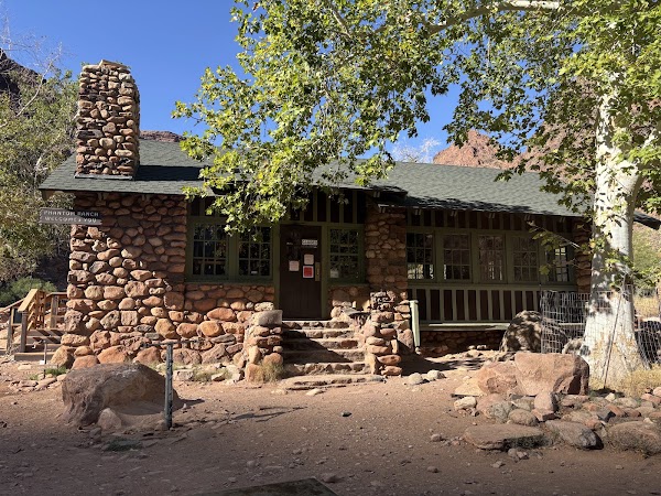
Phantom Ranch

Lodging
4.7
• A bucket list journey to the bottom of the canyon. • Usually planned as an overnight trip. • Approximately 15 to 19 miles round trip.
Save these 11 places to your map
Keep every place on your own map in DocentPro, and add more as you browse.
More featured places in Arizona
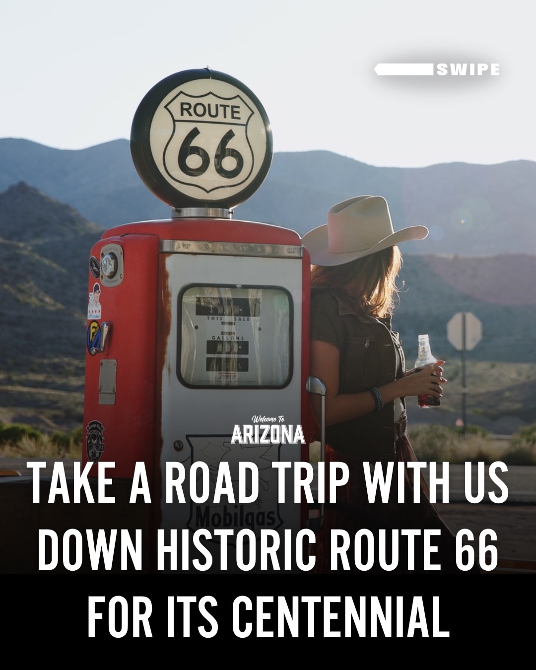
Explore Arizona's Historic Route 66 Attractions
Arizona Route 66 Museum, Mr D'z Route 66 Diner, Cool Springs Station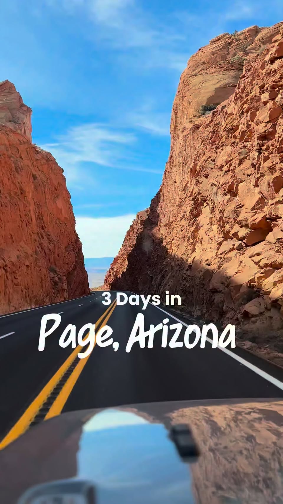
Page, Arizona: A 3-Day Exploration
Horseshoe Bend, Glen Canyon Dam, Secret Canyon