Gwanaksan Trails Offer Stunning Seoul Sunset Views
Source:
@santa_jjong


Save places straight from any post.
Share an Instagram, TikTok, YouTube, Facebook, Google Maps or web link to DocentPro and every place in it lands on your map. This post became these 6.
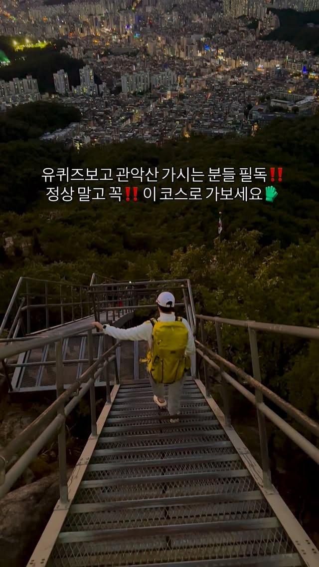

6 places on the map
Explore the map in the DocentPro app6 places in Seoul: Nagseongdae, Sadang Station, Gwanaksan, and 3 more. Every place is verified on Google Maps, featured in an Instagram post by 산타는 쫑🇰🇷, 백패커🏕️.

Nagseongdae

Subway station

4.3
Reach Gwanaksan easily from Nakseongdae Station. A convenient starting point for your hike.
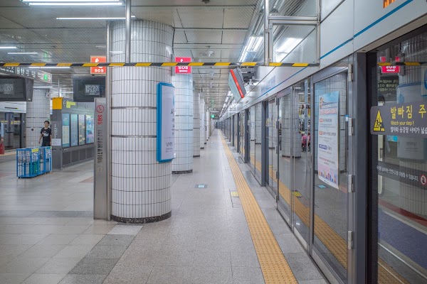
Sadang Station
Subway station
4.1
Begin your journey to Gwanaksan from Sadang Station. Easy access via public transport.

Gwanaksan
Natural feature
4.6
Hike Gwanaksan for Seoul's best sunset and city views. An easy 30-minute trek to stunning vistas.

텔콤빌딩_내방
Corporate office
5.0
Start your Gwanaksan hike at the Telecom Building Course. A beginner-friendly trail with rewarding views.
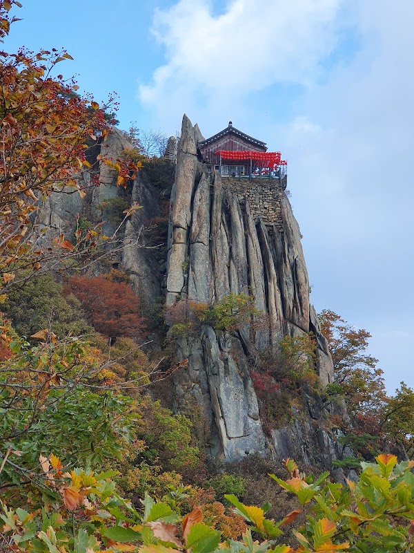
Gwanaksan Summit
Hiking area
4.6
Enter Gwanaksan via the 'Gwanaksan Hiking Trail' near the Telecom Building. Follow the signs for a scenic route.
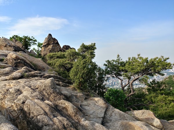
Gwanaksan Flagpole Peak
Hiking area
4.2
Conquer Gwanaksan National Flag Peak for panoramic views. A popular spot among hikers.
Save these 6 places to your map
Keep every place on your own map in DocentPro, and add more as you browse.
More featured places in Seoul
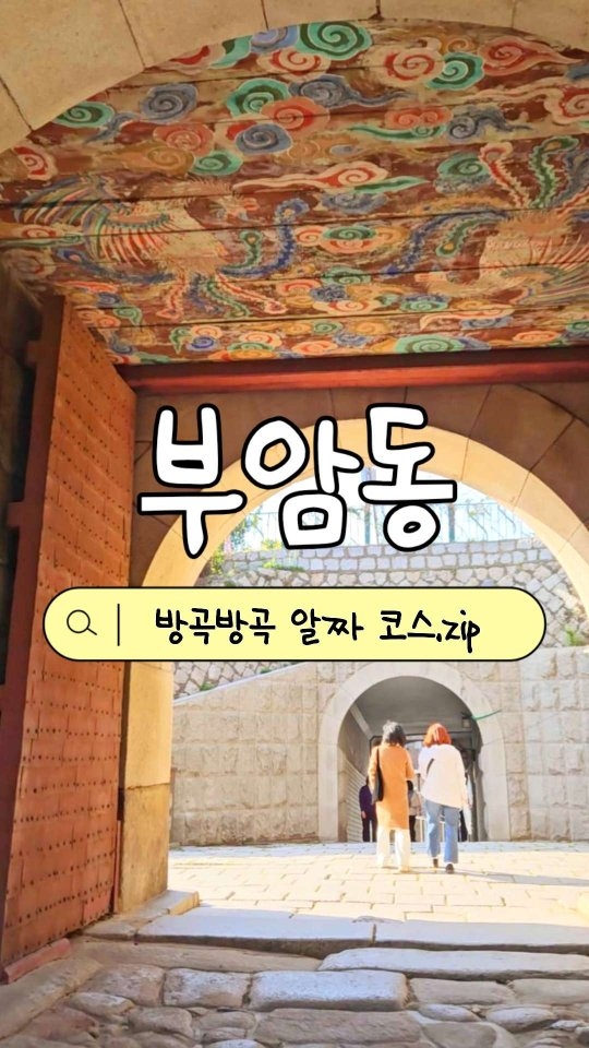
Bugaksan Mountain and Buam-dong Exploration
Bugak Palgakjeong, Seokpajeong Seoul Art Museum, Jahamun Tunnel 'Parasite' Filming Point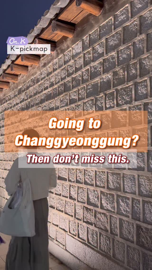
Explore Changgyeonggung Palace and Nearby Seoul Gems
Naksan Park, Changgyeonggung Palace, Hakrim Dabang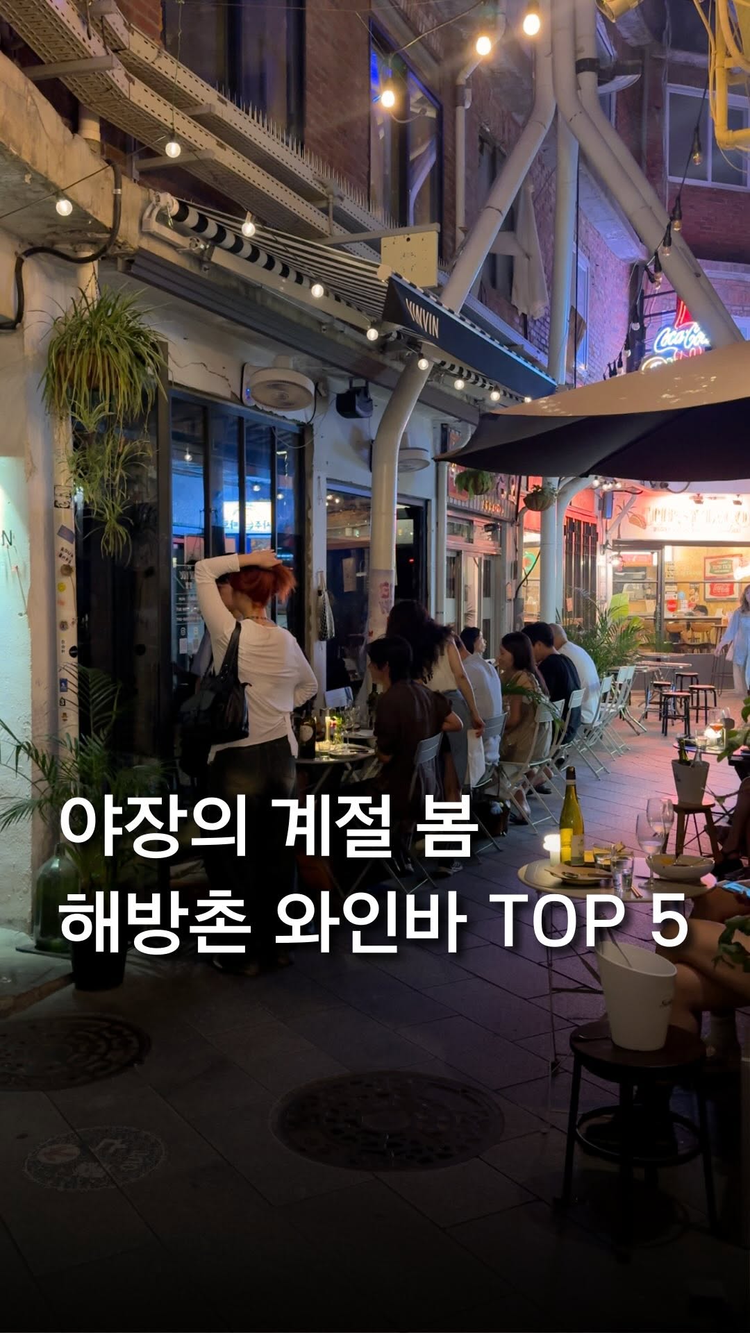
HaeBangChon Wine Bars Offer Romantic Spring Vistas
Yongsan Haebangchon Village, Yongsan District, Vinvin
Seoul's Top Outdoor Wine Bars and Dining
Eulji-ro, Sotetsu Hotels The Splaisir Seoul Myeongdong, Seongsu Federation
Seoul's Hidden Neighborhoods For Foreign Explorers
Seochon Hanok Village, Yongsan Haebangchon Village, Yeonhui-dong