
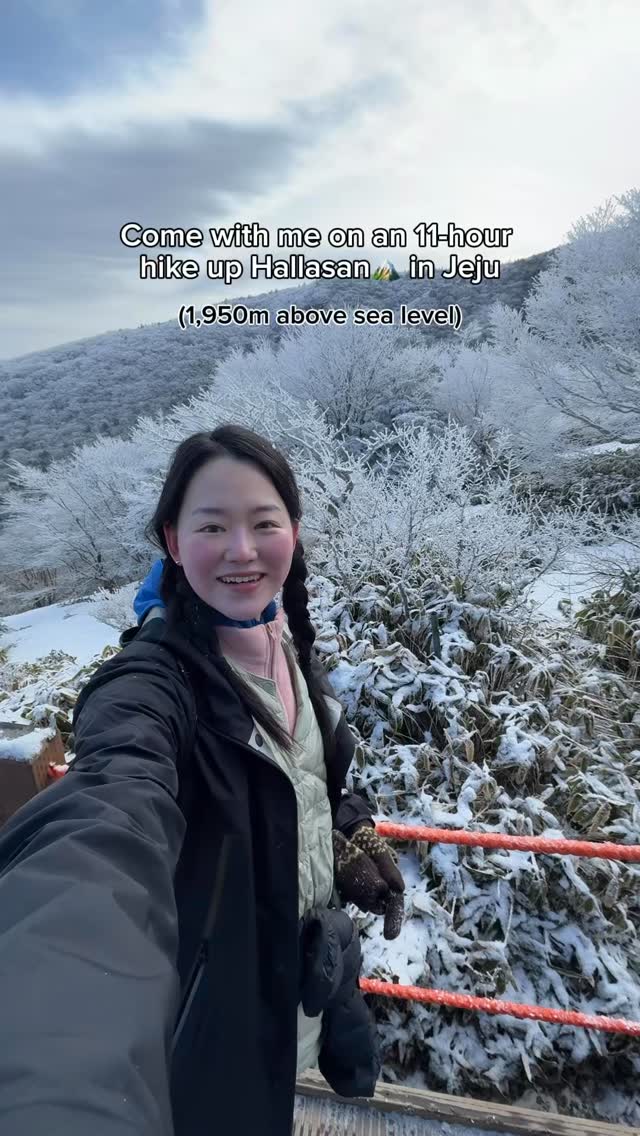
Hallasan Mountain Winter Hike To Baekrokdam Crater
Source:
@unniefromseoul


Save places straight from any post.
Share an Instagram, TikTok, YouTube, Facebook, Google Maps or web link to DocentPro and every place in it lands on your map. This post became these 4.

4 places on the map
Explore the map in the DocentPro app4 parks in South Korea: Hallasan, Gwaneumsa Trail | Hallasan National Park, 한라산 삼각봉대피소, and 1 more. Every place is verified on Google Maps, featured in an Instagram post by Unnie from Seoul🇰🇷.
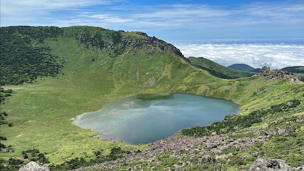
Hallasan

Natural feature

4.7
• Korea’s highest mountain at 1,947m, a rewarding and brutal hike • Hike in winter (Nov–Mar) for icy conditions and frosted trees ✓ Reservation required for summit trails

Gwaneumsa Trail | Hallasan National Park
Hiking area
4.6
• Starting point for the Gwaneumsa Trail, known to be steep but scenic ✓ Scan QR code at entrance for reservation check
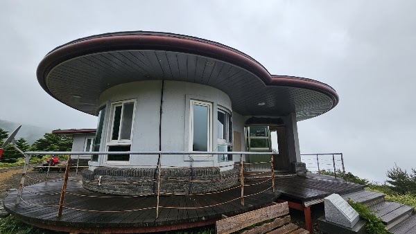
한라산 삼각봉대피소

Lodging
4.7
• Mid-mountain shelter on the Gwaneumsa route • Provides toilets and rest areas, but no food or water ✓ Must pass before 11:30 AM in winter (12:30 PM in summer) to continue to summit

Baengnokdam Lake
Nature preserve
4.7
• Summit of Hallasan mountain, 1,950 meters above sea level • Korea's highest point, offering views of the Baekrokdam crater lake ✓ Must leave the summit before 1:30 PM in winter (2:30 PM in summer)
Save these 4 places to your map
Keep every place on your own map in DocentPro, and add more as you browse.