Kandelhöhenweg: Black Forest Trail Through Villages
Source:
@huttentochten

7 places on the map
Explore the map in the DocentPro app7 places in Baden-Württemberg: Kandel, Gengenbach, Oberkirch, and 4 more. Every place is verified on Google Maps, featured in a Facebook post by huttentochten.

Kandel

Mountain peak

4.8
• Climb the Kandel, the highest point of the Kandelhöhenweg trail. • The peak is at an elevation of 1,241 meters. • Offers panoramic views over the Black Forest.

Gengenbach
Place
• A typical German village along the Kandelhöhenweg trail. • First stage of the Kandelhöhenweg from Oberkirch is 25 km.
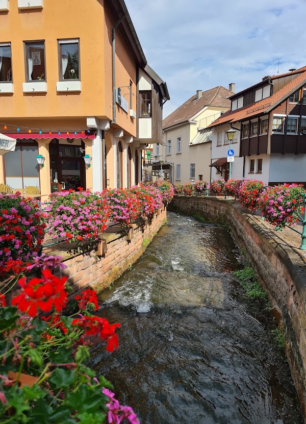
Oberkirch
Place
• Starting point for the Kandelhöhenweg, a 110 km long-distance trail. • The first stage of the hike goes from Oberkirch to Gengenbach. • This stage covers a distance of 25 km.

Höhenhäuser
Place
• A stop along the Kandelhöhenweg trail, between Gengenbach and Waldkirch. • The stage from Gengenbach to Höhenhäuser is 28 km.
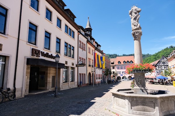
Waldkirch
Place
• A stop along the Kandelhöhenweg trail, between Höhenhäuser and St. Peter. • The stage from Höhenhäuser to Waldkirch is 22 km.
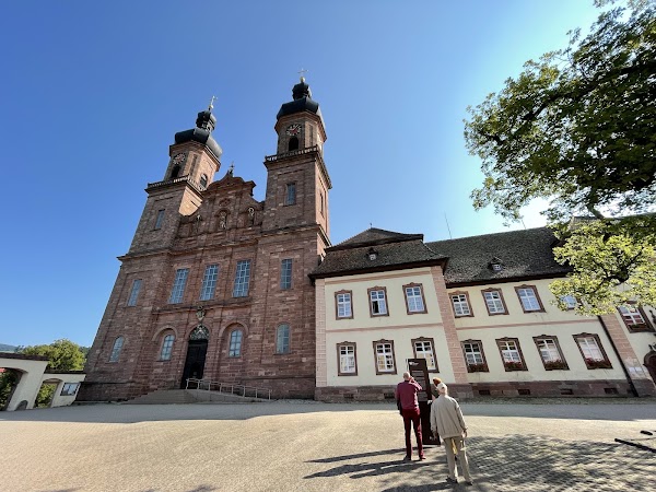
Sankt Peter
Place
• A stop along the Kandelhöhenweg trail, between Waldkirch and Freiburg. • The stage from Waldkirch to St. Peter is 18 km.
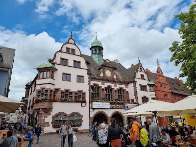
Freiburg im Breisgau
Place
• The endpoint of the Kandelhöhenweg long-distance trail. • The final stage from St. Peter to Freiburg is 17 km.
Save these 7 places to your map
Keep every place on your own map in DocentPro, and add more as you browse.