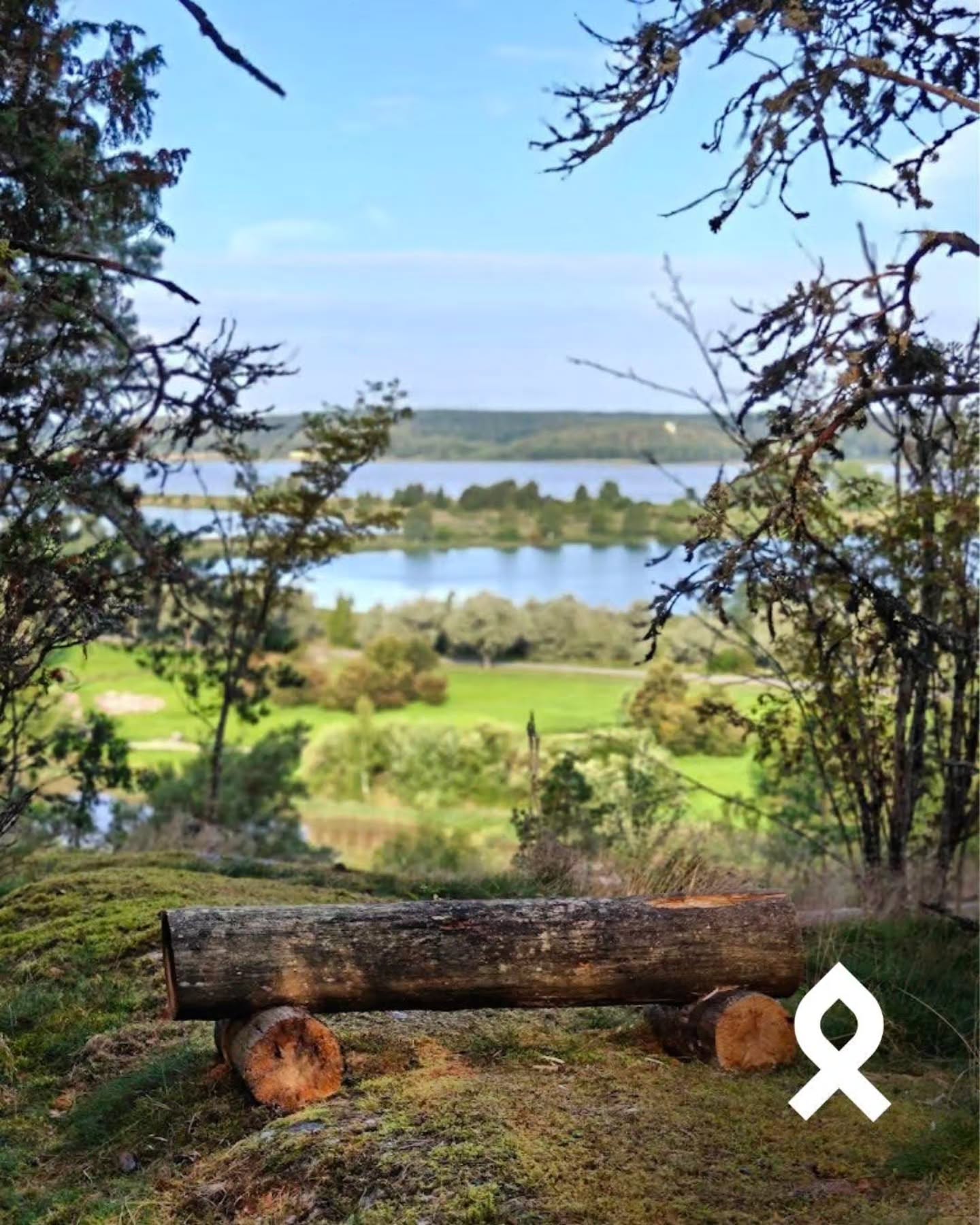
Kurjenrahka National Park's Savojärven Kierros Trail
Source:
@retkipaikka


Save places straight from any post.
Share an Instagram, TikTok, YouTube, Facebook, Google Maps or web link to DocentPro and every place in it lands on your map. This post became these 4.

4 places on the map
Explore the map in the DocentPro app4 parks in Varsinais-Suomi: Savojärvi, Outdoor Recreation Area Savojärven Rantapiha, Kurjenrahka National Park, and 1 more. Every place is verified on Google Maps, featured in an Instagram post by Retkipaikka.
Savojärvi

Lake

4.5
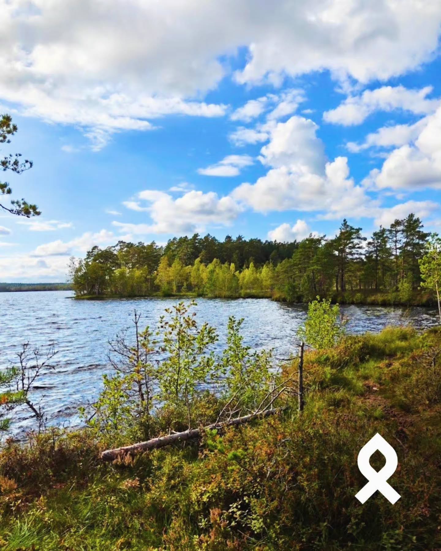
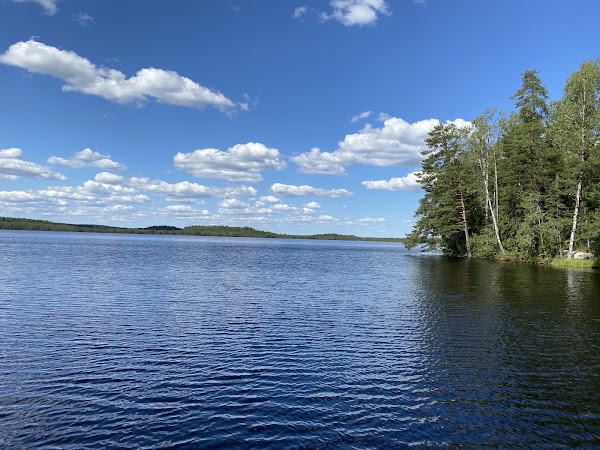
• Enjoy lake and swamp scenery on the 6.3 km Savojärven kierros trail. • Autumn brings vibrant red and orange colors to the swamp areas. • The trail circles the lake, offering peaceful views.
Outdoor Recreation Area Savojärven Rantapiha
Park
4.4
• This is the starting and ending point for the Savojärven kierros trail. • A cooking shelter (keittokatos) is available near the trailhead. • Look for wildlife like lizards, toads, and grasshoppers.
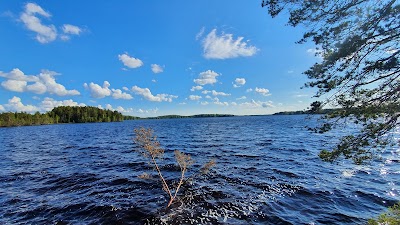
Kurjenrahka National Park
National park
4.5
• A nearby national park for the Turku region, good for autumn hikes. • Offers extensive lake and swamp landscapes. • Visit on a weekday for a more peaceful experience. • Accessible Karpalopolku trail, 1.7 km, starts from the same point.
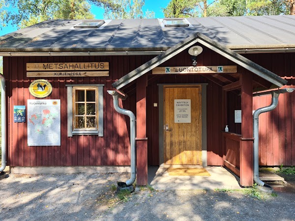
Kurjenpesä Nature Information Hut
Visitor center
4.5
• An accessible cooking shelter, located near the start of the trail. • A good spot for a picnic or to cook your own food. • The Karpalopolku accessible trail is nearby.
Save these 4 places to your map
Keep every place on your own map in DocentPro, and add more as you browse.