Michigan's Rugged Shores And Emerald Waters
Source:


Save places straight from any post.
Share an Instagram, TikTok, YouTube, Facebook, Google Maps or web link to DocentPro and every place in it lands on your map. This post became these 2.
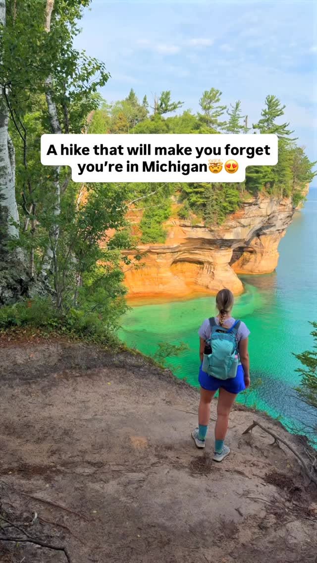

2 places on the map
Explore the map in the DocentPro app2 parks in Michigan: Chapel Rock, Pictured Rocks National Lakeshore. Every place is verified on Google Maps, featured in a Facebook post by Facebook.
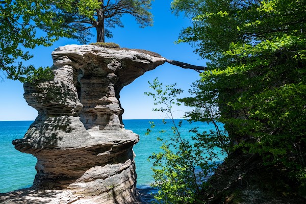
Chapel Rock

Island

4.9
• See Chapel Rock, a sandstone formation with a pine tree growing on top. • It is a highlight along the Chapel Rock to Mosquito Beach Loop. • The water colors here are vibrant emerald and turquoise. • Wear pants and long sleeves to deter biting flies.

Pictured Rocks National Lakeshore
Park
4.9
• Hike to see sandstone cliffs and vibrant emerald waters. • The Chapel Rock to Mosquito Beach Loop is about 10.5 miles. • Be prepared with food, water, maps, and a GPS device. ✓ Use plenty of bug spray to ward off biting flies.
Save these 2 places to your map
Keep every place on your own map in DocentPro, and add more as you browse.
More featured places in Michigan

Michigan Bin Store Sells Amazon Returns
Bin Street Bin Store
Detroit's Top 5 Restaurants For A Delicious Meal
Jeff's Kitchen, Milk & Froth Ice Cream, Amelia Street Pizza Co
Crust Punk Pizza Owner Discusses Late-Night Operations
Crust Punk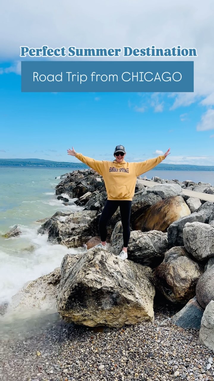
Northern Michigan Road Trip Highlights
Mackinac Island, Little Traverse Bay Ferry Dock Harbor Princess, Pink Pony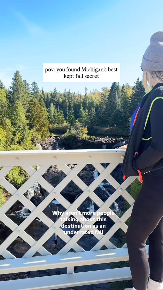
Keweenaw Peninsula Offers Fall Adventures And Local Delights
Quincy Mine, Douglass Houghton Falls, Keweenaw Peninsula