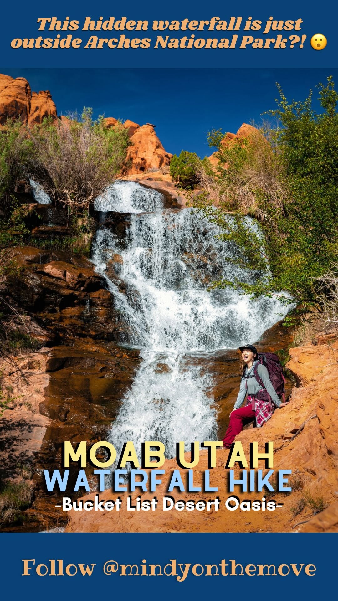
Moab Adventures Beyond The National Parks
Source:

5 places on the map
Explore the map in the DocentPro app5 places in Moab: Moab, Fisher Towers Road, Corona Arch, and 2 more. Every place is verified on Google Maps, featured in a Facebook post by Facebook.
Moab

Place
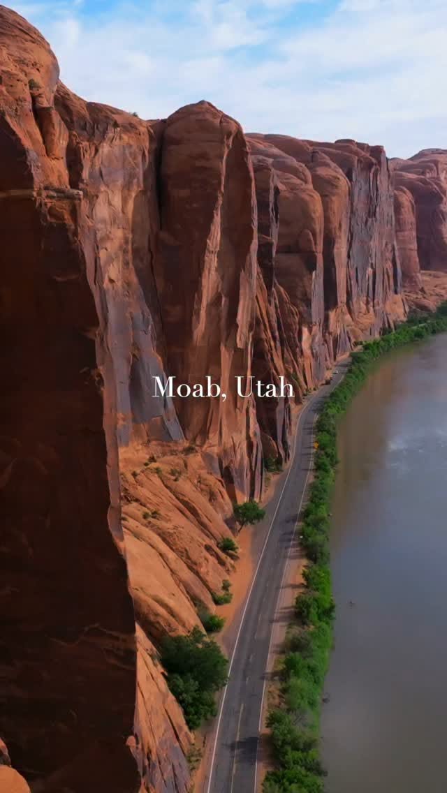
Explore the dramatic red rock landscapes and the winding Colorado River in this iconic adventure hub. Discover endless opportunities for hiking, biking, and off-roading amidst stunning natural beauty. Arrive early for popular trails to avoid crowds and afternoon heat.
Fisher Towers Road
Place
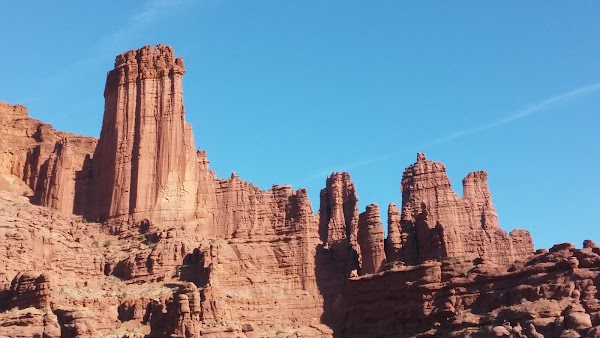
Hike among towering red rock spires famous for rock-climbing and stunning geology. The moderate 4.4-mile trail involves some elevation gain and uneven terrain. Bring plenty of water and sunblock as shade is scarce.
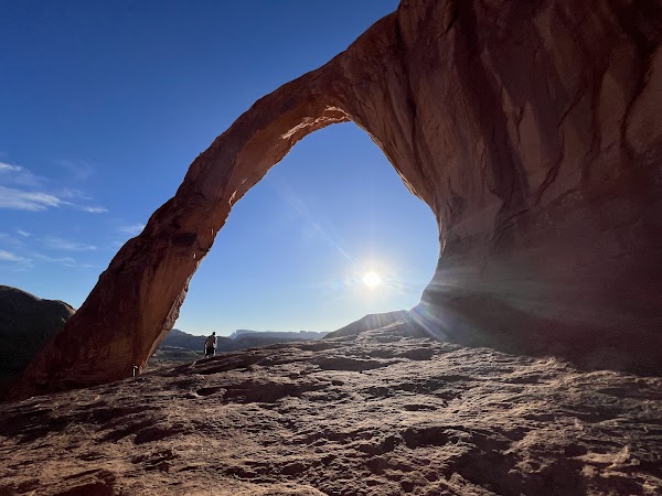
Corona Arch
Scenic spot

4.9
Hike to this magnificent natural arch on a moderate 3-mile roundtrip trail. Expect some ladders, cables, and exposed sections along the path. The rewarding views of the arch are well worth the effort.
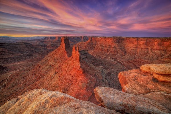
Marlboro Point
Scenic spot
4.5
Experience one of Moab's most unique overlooks, reminiscent of classic Marlboro advertisements. A high-clearance vehicle is essential to reach this dramatic desert vista. Plan for an adventurous drive to enjoy these panoramic views.
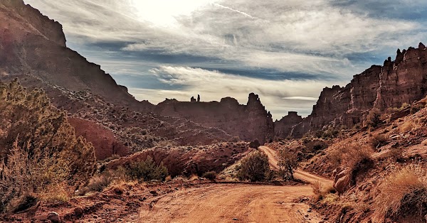
Onion Creek
Place
Embark on a scenic backcountry drive through a colorful canyon featuring dozens of creek crossings. A high-clearance 4x4 vehicle is strongly recommended for this adventurous route. Enjoy the unique geology and natural beauty only accessible via this path.
Save these 5 places to your map
Keep every place on your own map in DocentPro, and add more as you browse.
More featured places in Moab
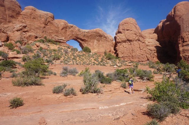
Moab Itinerary: Parks, Dinosaur Sites, and River Adventures
Moab, Salt Lake City, Arches National Park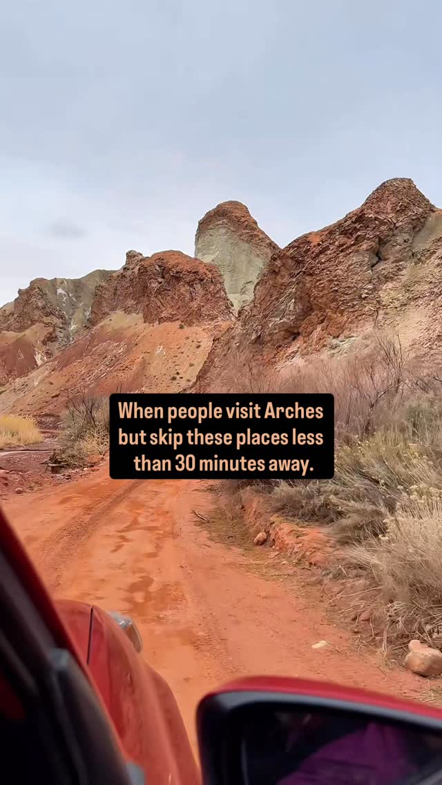
5 Places in Moab
Arches National Park, Fisher Towers Road, Professor Creek/Mary Jane Canyon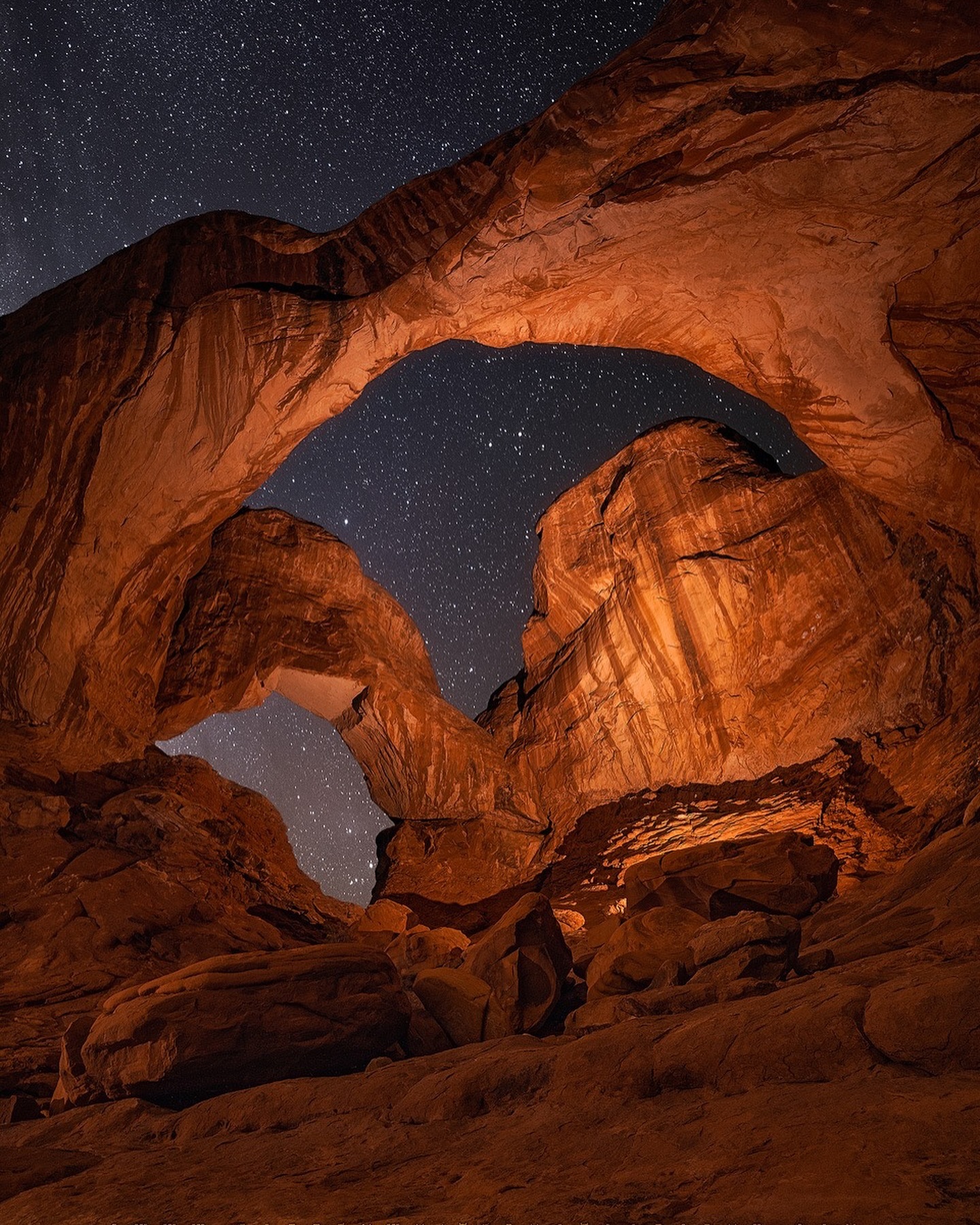
Arches National Park Night Photography
Arches National Park Road, Double Arch, Park Avenue Viewpoint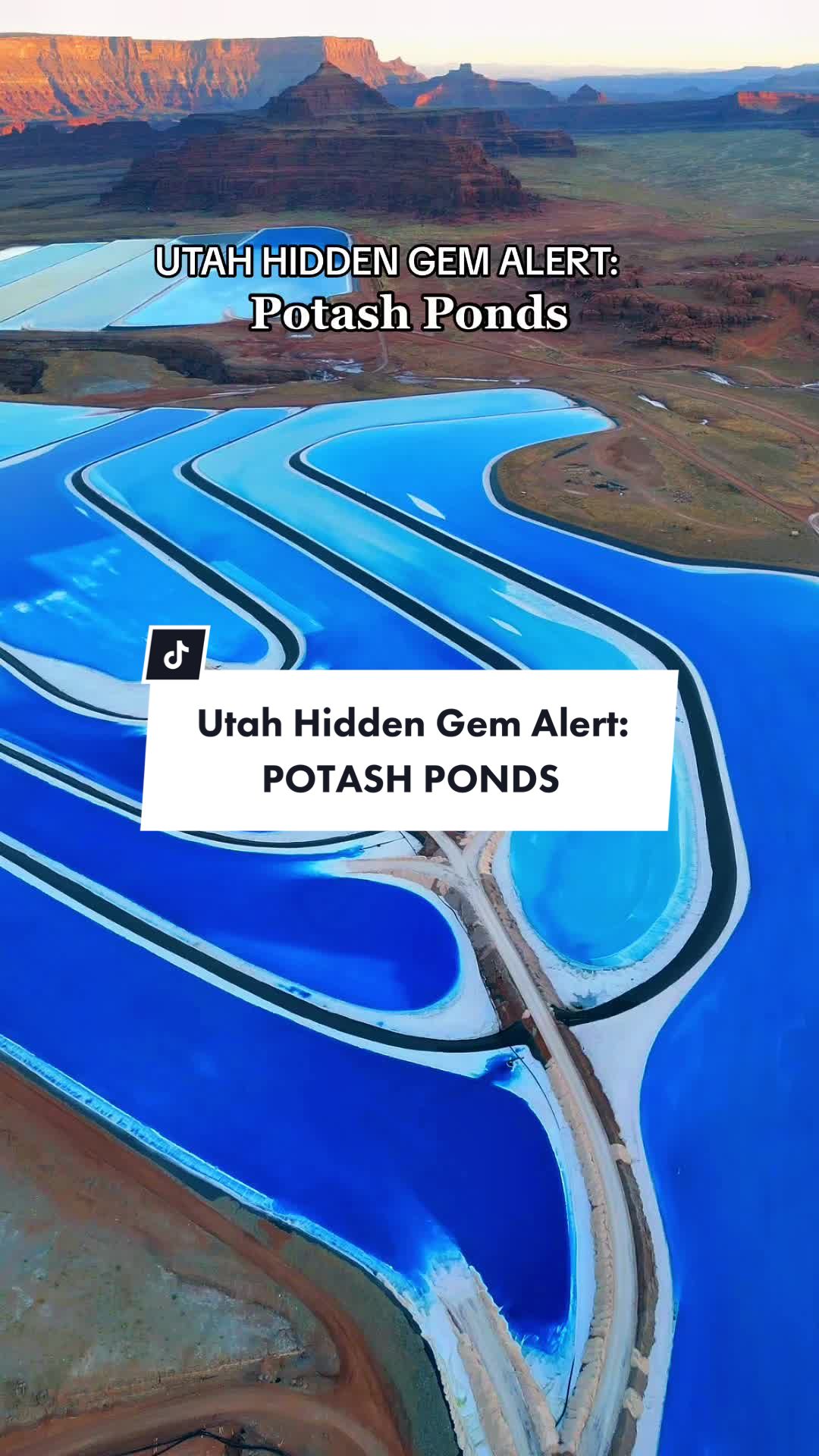
2 Landmarks in Moab
Potash Ponds, Potash Road Dinosaur Tracks and Petroglyphs