Mont-Mégantic Trail Offers Stunning Fall Foliage Views
Source:
@ferlattez

2 places on the map
Explore the map in the DocentPro app2 parks in Québec: Parc national du Mont-Mégantic (provincial park), Sentier des Cimes. Every place is verified on Google Maps, featured in an Instagram post by Audrey-Lyne Ferlatte | Outdoors & Adventure.
Parc national du Mont-Mégantic (provincial park)

National park

4.8
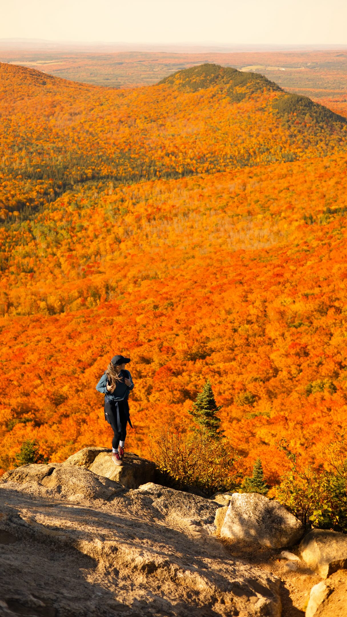
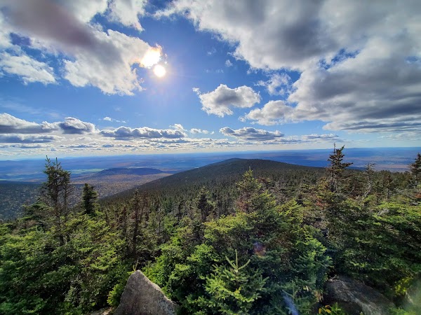
Discover stunning fall foliage and panoramic mountain views in this national park. The 'Sentier des Cimes' offers vibrant autumn colors that are a true bucket list experience. Plan for an intermediate 3-4 hour hike to fully appreciate the 360-degree summit views.

Sentier des Cimes
Place
5.0
Embark on this intermediate 12.7 km loop trail to witness breathtaking fall colors from a 360-degree summit. The elevation gain offers a rewarding workout with spectacular views. Allow 3-4 hours to complete the hike and immerse yourself in the vibrant autumn scenery.
Save these 2 places to your map
Keep every place on your own map in DocentPro, and add more as you browse.
More featured places in Québec
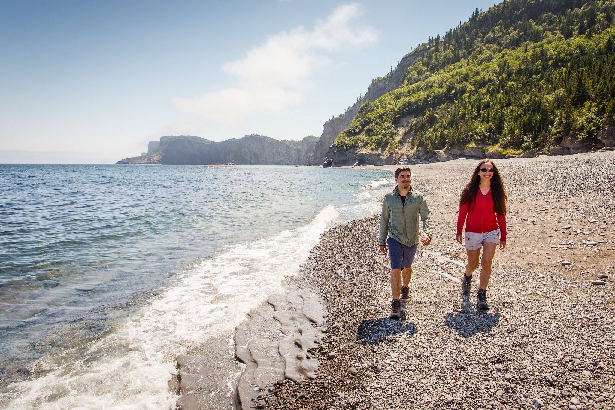
Forillon National Park Cliff Views
Forillon National Park, Cap-Bon-Ami
Québec's Gaspésie Peninsula Road Trip Highlights
Percé Rock, Île Bonaventure, Forillon National Park
Rivière-du-Loup Roadtrip With Food, Beer, And Nature
racines boulangerie fermière, Tête d'Allumette - Microbrasserie, Auberge Internationale de Rivière-du-Loup
Gaspé Peninsula's Coastal Route 132 Adventures
Île Bonaventure, Forillon National Park, Percé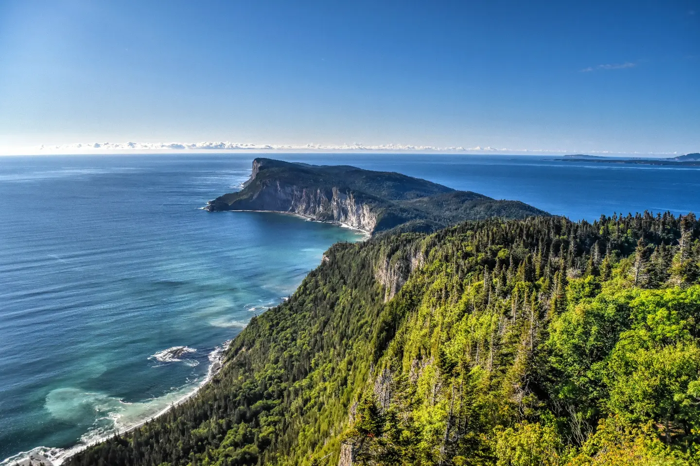
Gaspésie National Park's Natural and Historical Attractions
Forillon National Park, Mont Saint-Alban, Camping Cap-Bon-Ami