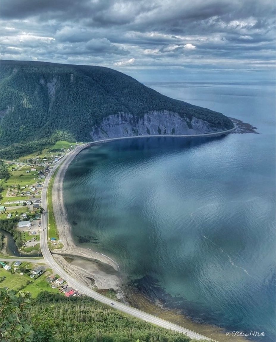
Mont-Saint-Pierre Summit Views and International Trails
Source:
@tourismegaspesie


Save places straight from any post.
Share an Instagram, TikTok, YouTube, Facebook, Google Maps or web link to DocentPro and every place in it lands on your map. This post became these 4.

4 places on the map
Explore the map in the DocentPro app4 hikes in Canada: Mont-Saint-Pierre, Réserve faunique des Chic-Chocs, Le Golfe-du-Saint-Laurent, and 1 more. Every place is verified on Google Maps, featured in an Instagram post by Tourisme Gaspésie.
Mont-Saint-Pierre

Place
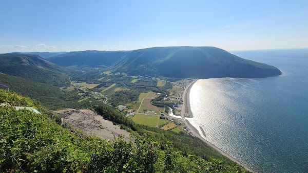
• Hike the 7 km (round trip) Delta trail to reach the summit at 430 meters altitude. • See glacial valley and Chic-Chocs mountains on one side. • See the village and the Gulf of Saint Lawrence on the other side. • Watch hang gliders and paragliders launch from the peak.
Réserve faunique des Chic-Chocs
Hiking area

4.7
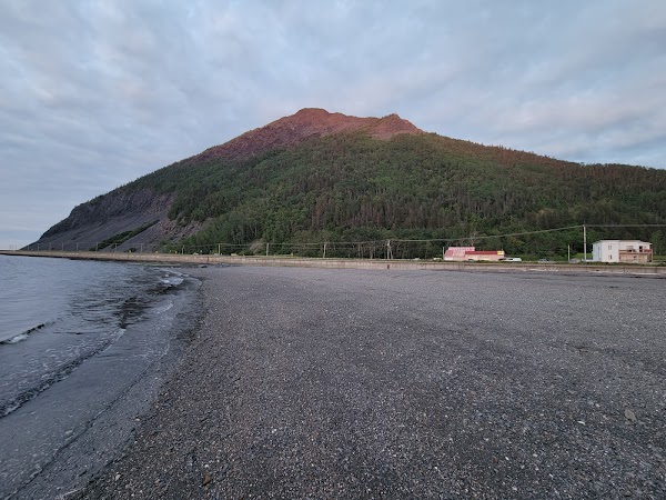
• View these mountains from the summit of Mont Saint-Pierre.
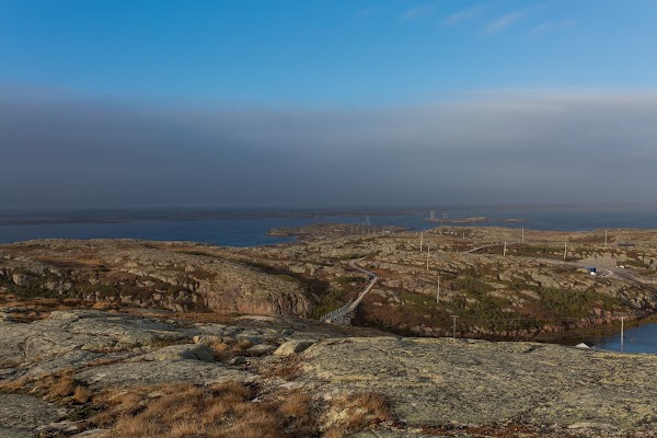
Le Golfe-du-Saint-Laurent
Place
• See the gulf from the summit of Mont Saint-Pierre. • It is on the other side from the glacial valley and Chic-Chocs mountains.
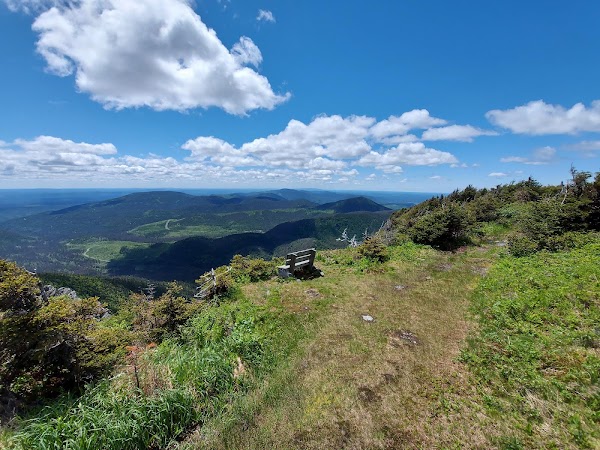
Sentier International des Appalaches - Québec GR A1 (Siège Social)
Hiking area
4.6
• Access this trail from the summit of Mont Saint-Pierre. • Extend your hike beyond the Delta trail.
Save these 4 places to your map
Keep every place on your own map in DocentPro, and add more as you browse.
More featured places in Canada
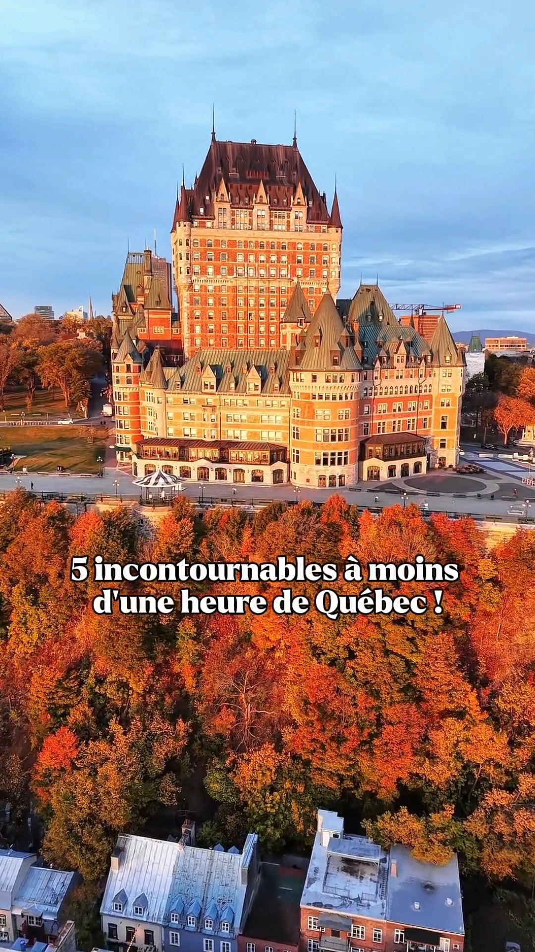
Quebec City Fall Foliage and Attractions
Fairmont Le Château Frontenac, L'Île-d'Orléans Regional County Municipality, Parc national de la Jacques-Cartier