
New 175km Gudenåstien Hiking Trail Ready
Source:
@naturstyrelsen
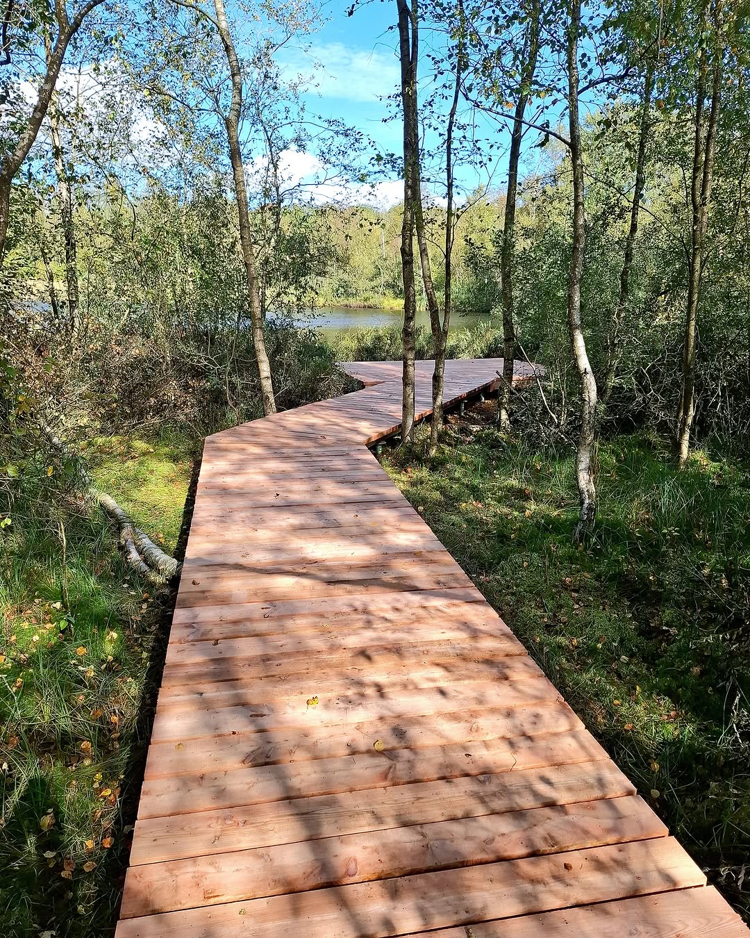
3 places in Torring: Torring, Gudenåstien, Randers Fjord. Every place is verified on Google Maps, featured in an Instagram post by Naturstyrelsen.
One post. 3 places.

SpotFetch built this page from one post. Share yours from Instagram, TikTok, YouTube and more, and every place lands on your map.
Torring

Place
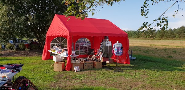
Discover the tranquil source of the Gudenåen river in Tørring, marking the beginning of the expansive Gudenåstien trail. This charming town offers a peaceful starting point for your hiking adventure. Ideal for those looking to begin their journey through Denmark's varied landscapes.
Gudenåstien
Hiking area

4.3
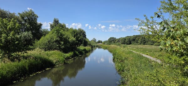
Embark on an immersive journey along Denmark's longest river, offering diverse landscapes from forests to meadows. Experience the tranquility of nature with water always by your side, perfect for multi-day treks or short stage hikes. Access detailed maps and plan your adventure on oplevgudenaa.dk for an unforgettable outdoor escape.
Randers Fjord
Natural feature
4.7
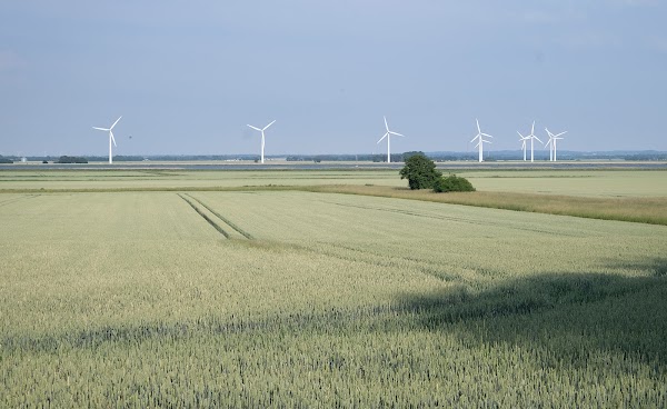
Conclude your Gudenåstien journey at the scenic Randers Fjord, where the river meets the sea. This picturesque fjord provides a beautiful backdrop for reflection after your hike. Enjoy the serene waterfront and diverse birdlife.
Save these 3 places to your map
Keep every place on your own map in DocentPro, and add more as you browse.