
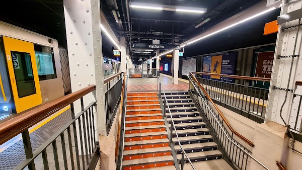
New Sydney Pedestrian Network Connects Stations
Source:
@Time Out Sydney

pedestrian network
undercover network
cbd access
city planning
urban development
transportation

1 place on the map
Explore the map in the DocentPro app1 place in Sydney: Wynyard. Verified on Google Maps, featured in a Facebook post by Time Out Sydney.


Save this place to your map
Keep every place on your own map in DocentPro, and add more as you browse.
More featured places in Sydney
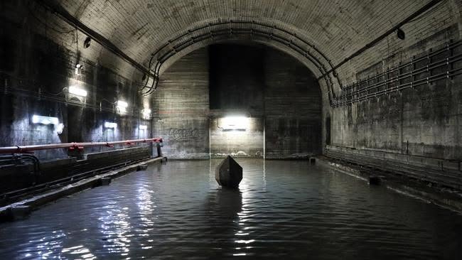
@Lost Sydney
Sydney's Ghost Tunnels Open for Tours
State Library of New South Wales, Whitlam Square, St James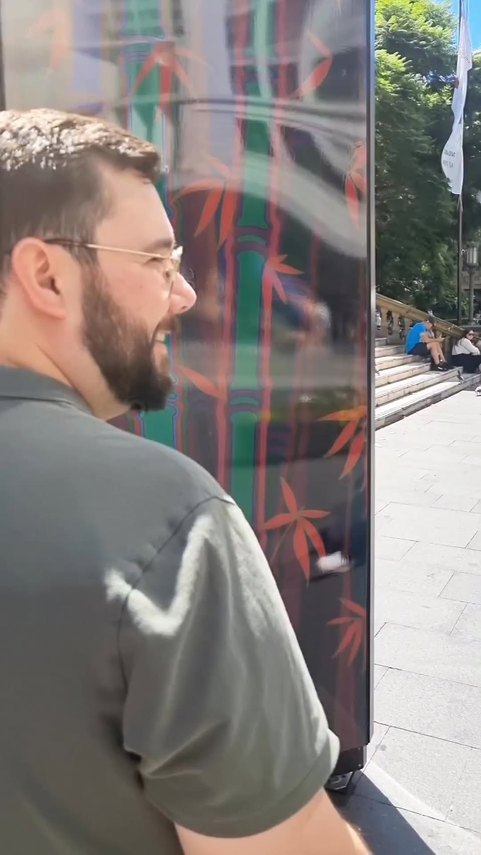
@CityDays.global
Sydney CBD Walking Tour of Historic Buildings
Queen Victoria Building, Angel Place, Wynyard Park
@Sydney Tower Eye
Sydney's Skywalk and Observation Deck Tour
Sydney Harbour Bridge, Sydney Opera House, Sydney Tower Eye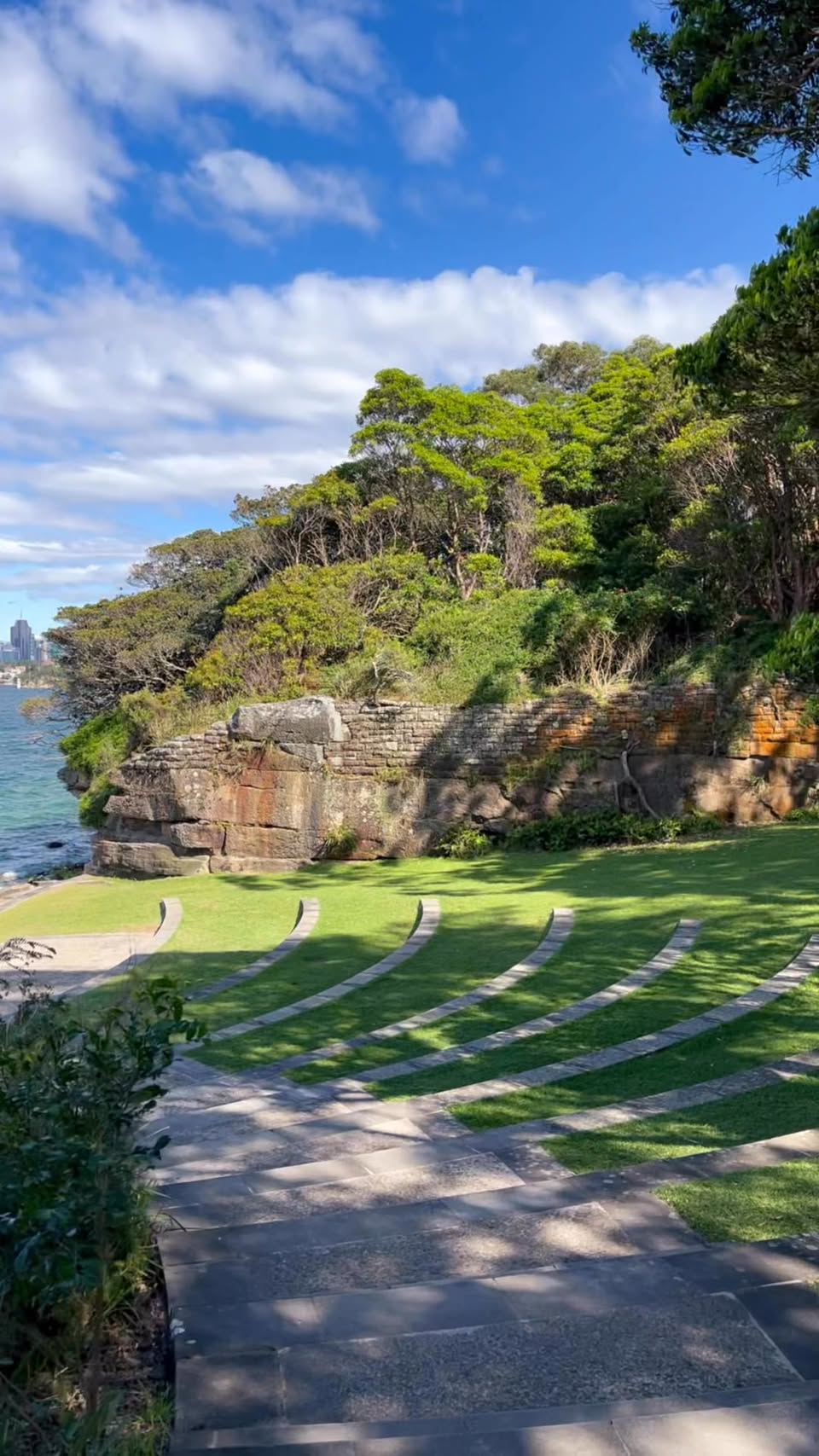
@syduncovered
Iconic Sydney Harbour Landmarks and Views
Sydney Harbour Bridge, Sydney Opera House, Bradleys Head
@Facebook
Sydney's Hidden Tunnels Connect Historic Buildings
The Treasury, Chief Secretary’s Building, Sydney Conservatorium of Music
@Australian Traveller