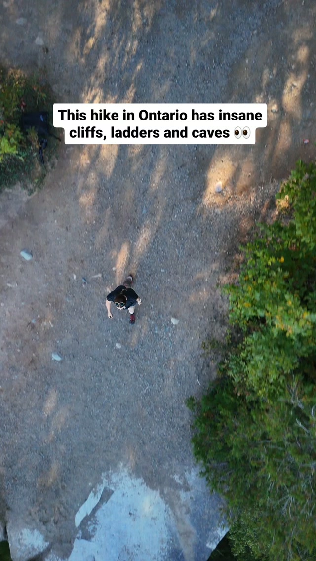
Northern Ontario's Natural Wonders Beyond Google Earth
Source:
@livontrails
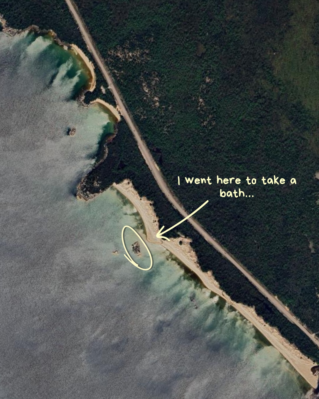

8 places on the map
Explore the map in the DocentPro app8 parks in Ontario: Trail to Bathtub Island, Lake Superior Provincial Park, Katherine Cove, and 5 more. Every place is verified on Google Maps, featured in an Instagram post by liv harvey | hiking & adventure enthusiast ↟.
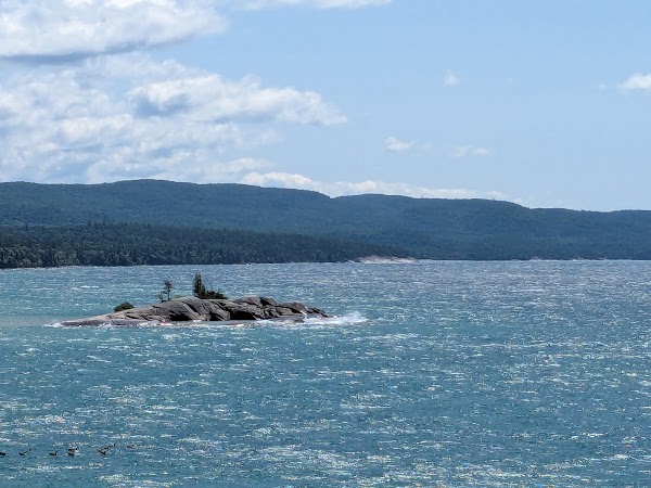
Trail to Bathtub Island

Hiking area

5.0
• Natural rock basin that creates a unique swimming spot • Located just offshore from Katherine Cove • Crossing shallow water is required to reach the island
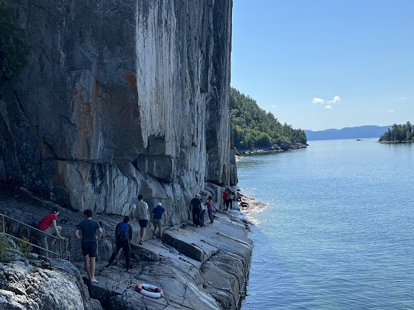
Lake Superior Provincial Park
Park
4.8
• Home to Bathtub Island, a unique swimming location • Katherine Cove is a point of access along Highway 17 • Take the scenic Coastal Trail or a shorter access trail
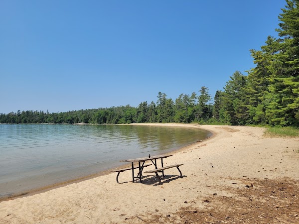
Katherine Cove
Natural feature
4.8
• Access point for Bathtub Island • Located along Highway 17, north of Sault Ste. Marie • Offers scenic Coastal Trail or shorter access trail routes
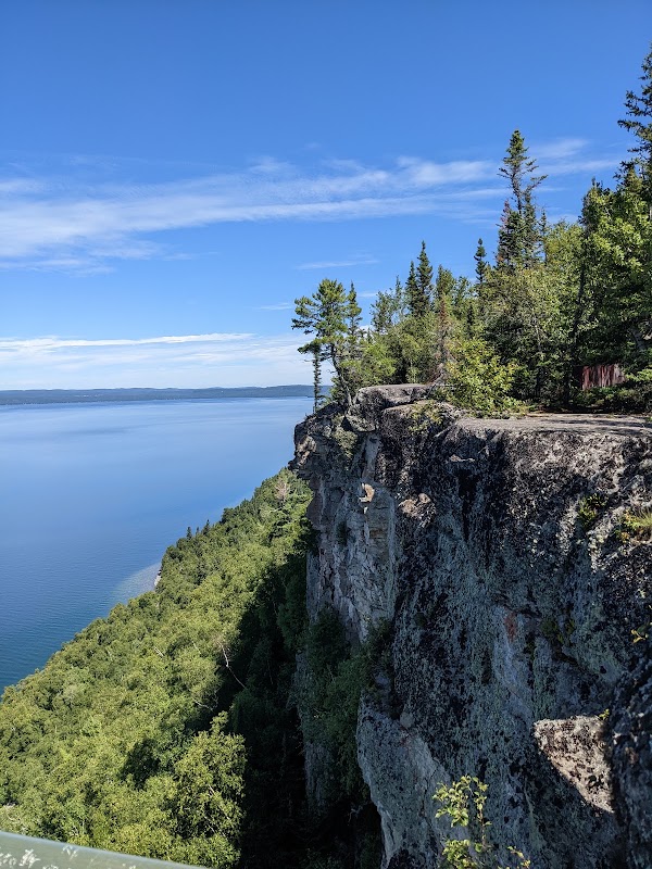
Thunder Bay Lookout
Observation deck
4.9
• Viewing platform extending over the cliffs of the Sleeping Giant • Offers incredible views of Lake Superior ✓ Access via a roughly 9 km gravel road (Highway 587), check conditions and vehicle clearance
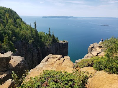
Sleeping Giant Provincial Park
Park
4.7
• Home to Thunder Bay Lookout, offering expansive views of Lake Superior • Accessed via Highway 587 ✓ Check road conditions for the gravel Thunder Bay Lookout Road
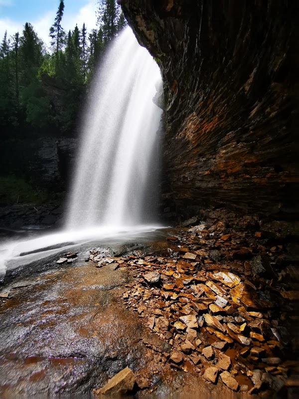
Wolf River Falls Trailhead
Hiking area
4.7
• Waterfall where you can walk behind the rushing water • Feels like a secret tucked into the forest ✓ Access via Fish Hatchery Road and Wolf Lake Road
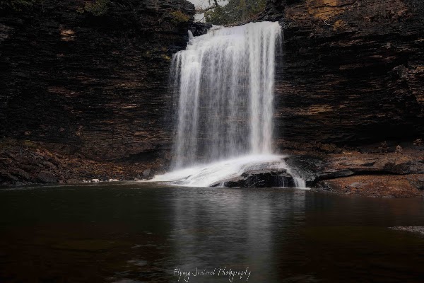
Red Rock Falls
Scenic spot
4.7
• Alternate name for Wolf River Falls • Possible to walk behind the rushing water when conditions allow
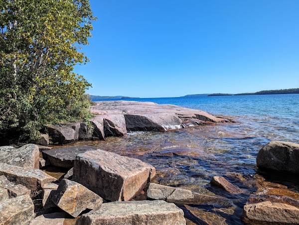
Rossport Coastal Trail
Hiking area
4.8
• Scenic route to Katherine Cove and Bathtub Island • Part of Lake Superior Provincial Park
Save these 8 places to your map
Keep every place on your own map in DocentPro, and add more as you browse.
More featured places in Ontario
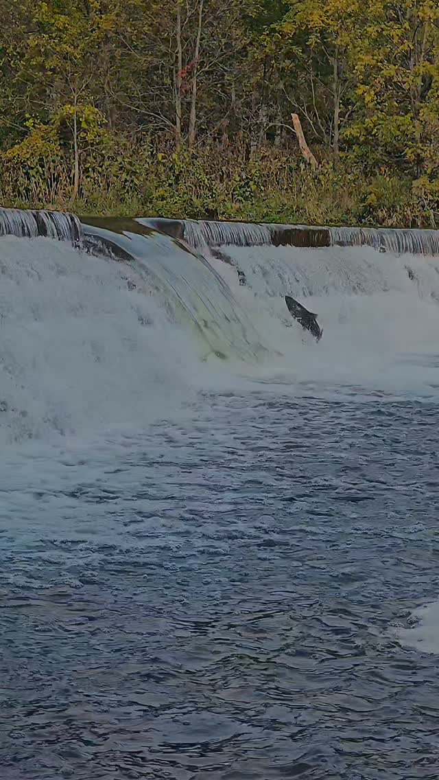
Salmon Migration At Etienne Brulé Park
Humber River, Étienne Brûlé Park
Hastings County Autumn Nature Destinations
Silent Lake Provincial Park, Eagles Nest Park Road, Kamaniskeg Lake Lookout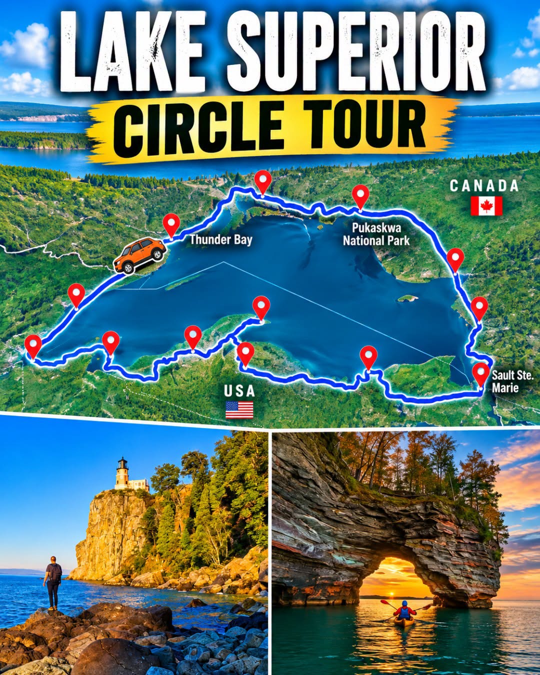
Lake Superior Circle Tour Attractions
Thunder Bay, Lake Superior, Pukaskwa National Park
Little Canada Showcases Miniature Worlds And Landmarks
CN Tower, Yonge-Dundas Square, Toronto City Hall
Northern Ontario's Natural Wonders And Attractions
Kakabeka Falls, Scenic Magpie High Falls, Old Woman Bay