Paris Metro's 5 Neighborhood Maps Explained
Source:
@paris.in.my.pocket


5 places on the map
Explore the map in the DocentPro app5 places in Paris: Eiffel Tower, Place du Trocadéro et du 11 Novembre, Place de Clichy, and 2 more. Every place is verified on Google Maps, featured in an Instagram post by Paris in my Pocket.
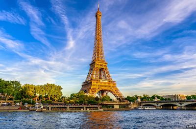
Eiffel Tower

Historical landmark

4.6
Experience this iconic symbol of Paris, whether from afar or by ascending to its summit. Visit at night for a sparkling light show every hour on the hour.
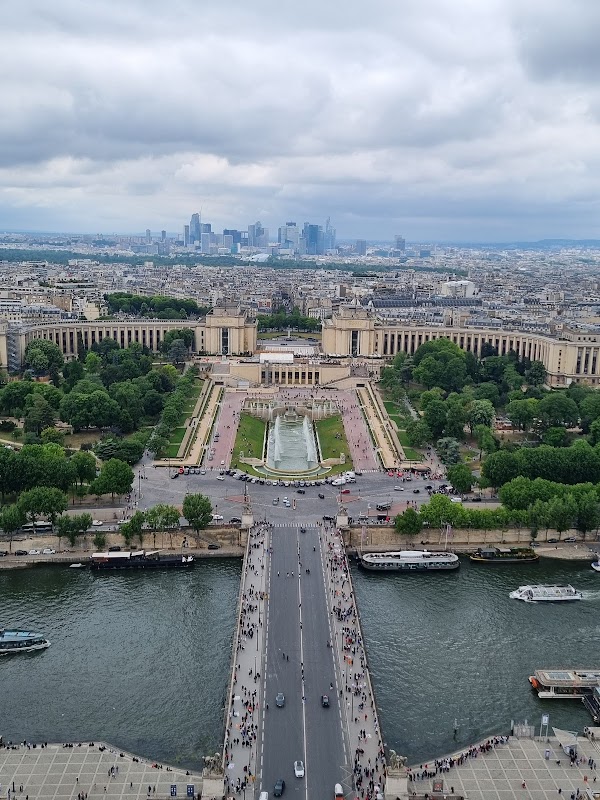
Place du Trocadéro et du 11 Novembre

Place
Exit here for iconic views of the Eiffel Tower and to explore the beautiful Trocadéro gardens. It's a prime spot for photography, especially at sunset.
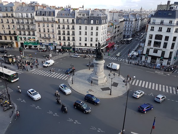
Place de Clichy
Place
A central metro hub providing easy access to various parts of the city. Use the neighborhood maps to find nearby attractions after exiting.
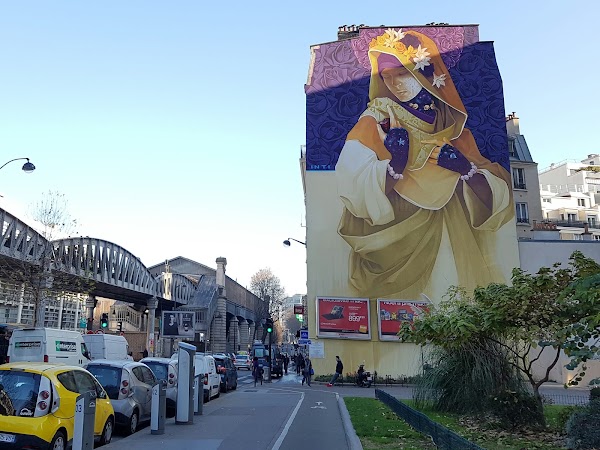
Chevaleret
Subway station
4.1
This station is ideal for accessing the 13th arrondissement, known for its vibrant Asian Quarter and street art. Discover unique culinary experiences and lively markets.
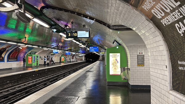
Montparnasse - Bienvenüe
Subway station
4.0
A bustling transport hub with connections to multiple metro lines and national rail. Explore the nearby Montparnasse Tower for panoramic city views.
Save these 5 places to your map
Keep every place on your own map in DocentPro, and add more as you browse.
More featured places in Paris

Parisian Charm: Iconic Sites and Local Secrets
Eiffel Tower, Louvre Museum, Cathédrale Notre-Dame de Paris
Parisian Passages: A Historical Walking Tour
Grévin Museum, Passage des Panoramas, Galerie Vivienne
Parisian Attractions And Picnic Spots
Louvre Museum, Square du Vert-Galant, Sainte-Chapelle
Paris Tea Shops Inspired By A Discovery Of Witches
Le Marais, Galeries Lafayette Le Gourmet, Mariage Frères
Parisian Nightclubs and Social Hotspots
Pachamama, Bonnie, L'Arc