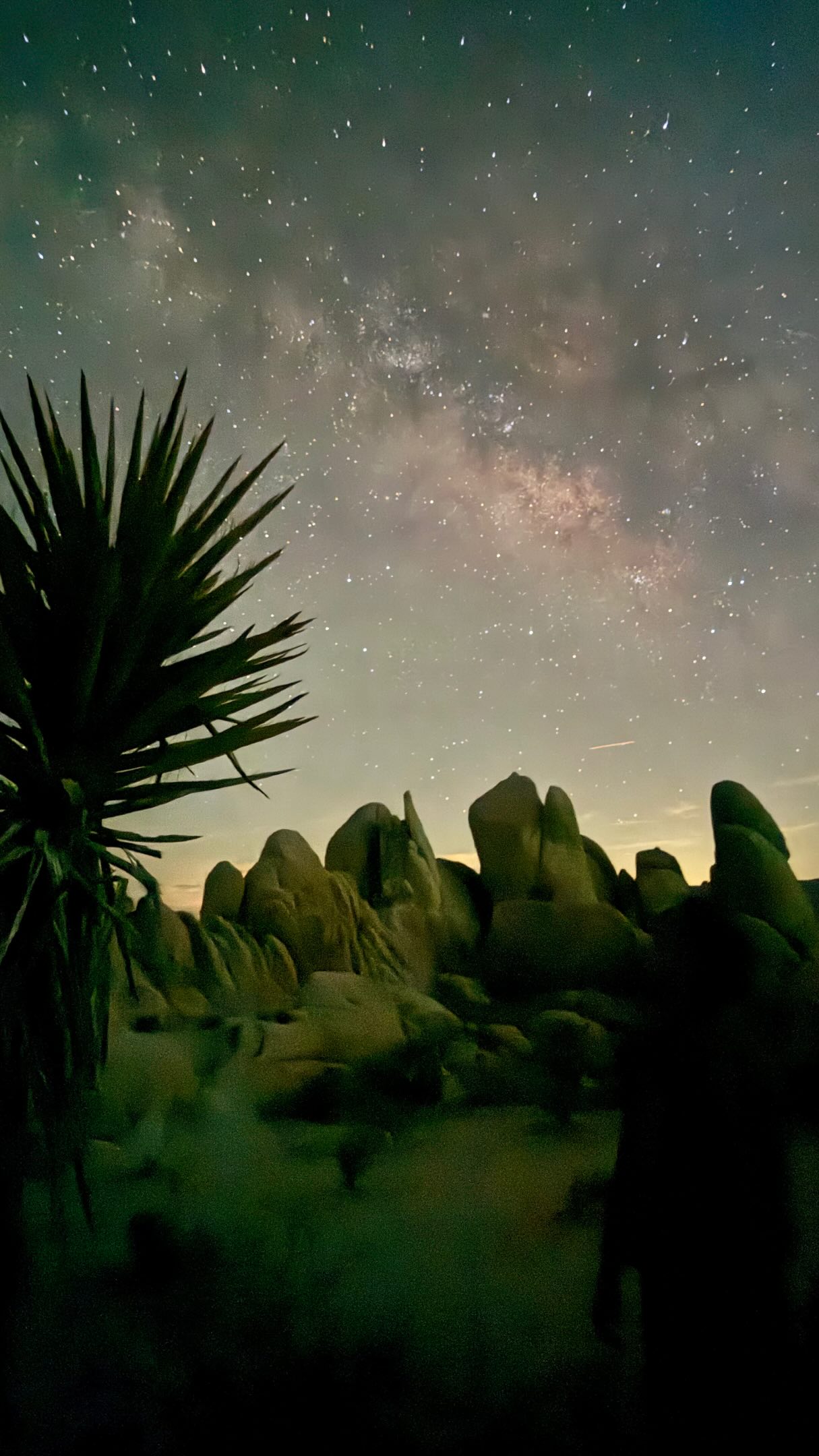
Pinnacles National Park's Challenging Volcanic Trails
Source:
@kelleyandcarlsadventures
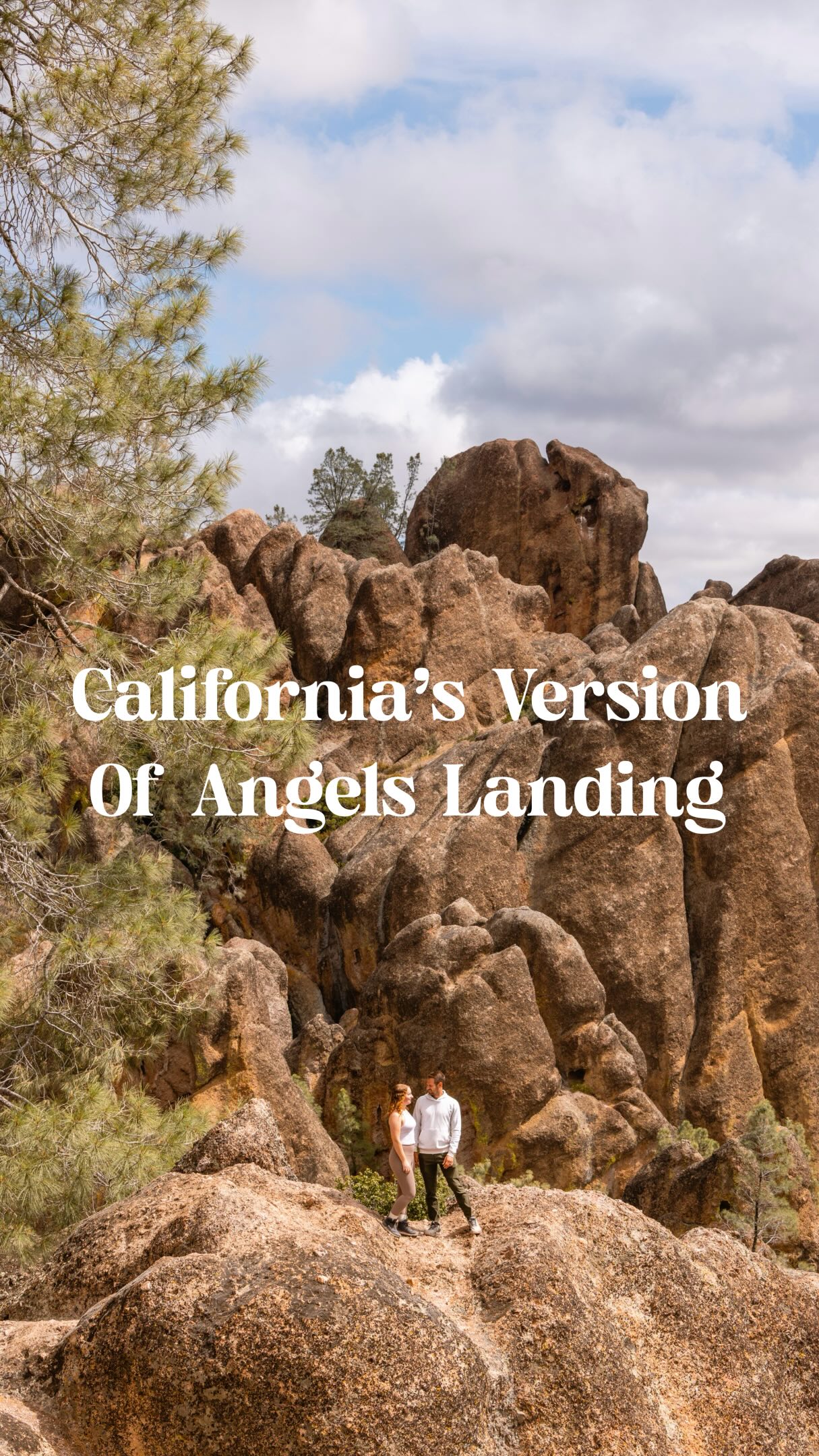

5 places on the map
Explore the map in the DocentPro app5 places in California: Pinnacles National Park, High Peaks Trail, Condor Gulch Trail, and 2 more. Every place is verified on Google Maps, featured in an Instagram post by Kelley & Carl | Travel Tips & Inspiration.
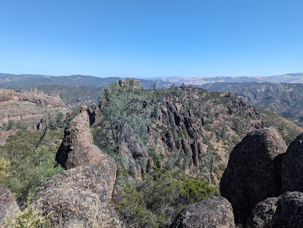
Pinnacles National Park

National park

4.7
Explore dramatic volcanic rock formations and challenging trails with unique geological features. Keep an eye out for California condors, a rare sight in this critical conservation area.
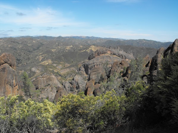
High Peaks Trail
Place
5.0
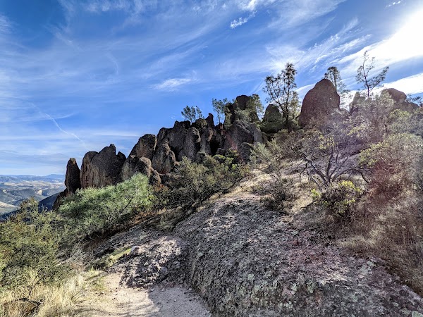
Tackle a thrilling hike featuring steep ascents, narrow passages, and helpful handrails for an adventurous experience. The views from the top offer breathtaking panoramas of the park's rugged landscape.
Condor Gulch Trail
Place
4.6
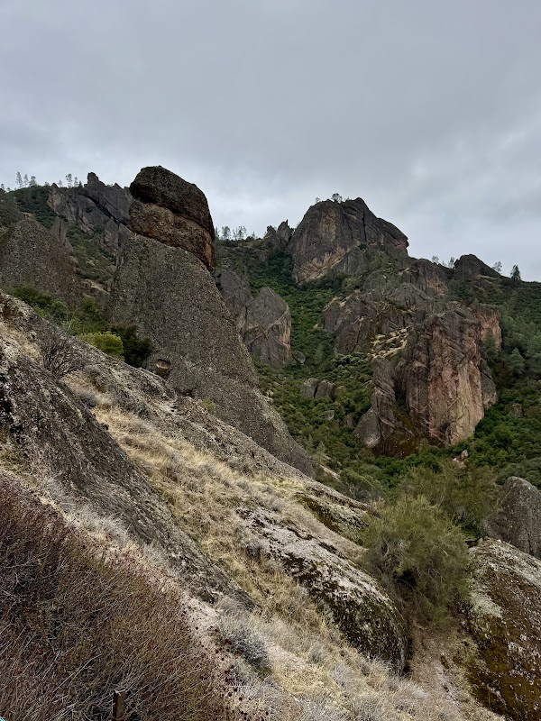
Start your journey through the park's diverse terrain with this trail, known for its scenic views and as a pathway to the iconic High Peaks. It offers a great opportunity for wildlife spotting.
Juniper Canyon Trail
Place
5.0
Hike through scenic canyon landscapes offering a different perspective of the park's geology. This trail provides a direct, though challenging, path towards the High Peaks.
Balconies Cave Trail
Place
4.8
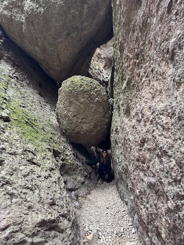
Explore unique talus caves on this loop, offering a cool, dark escape and an adventurous detour for hikers. Remember to bring a headlamp for the cave sections.
Save these 5 places to your map
Keep every place on your own map in DocentPro, and add more as you browse.
More featured places in California
California's Eastern Side Road Trip Highlights
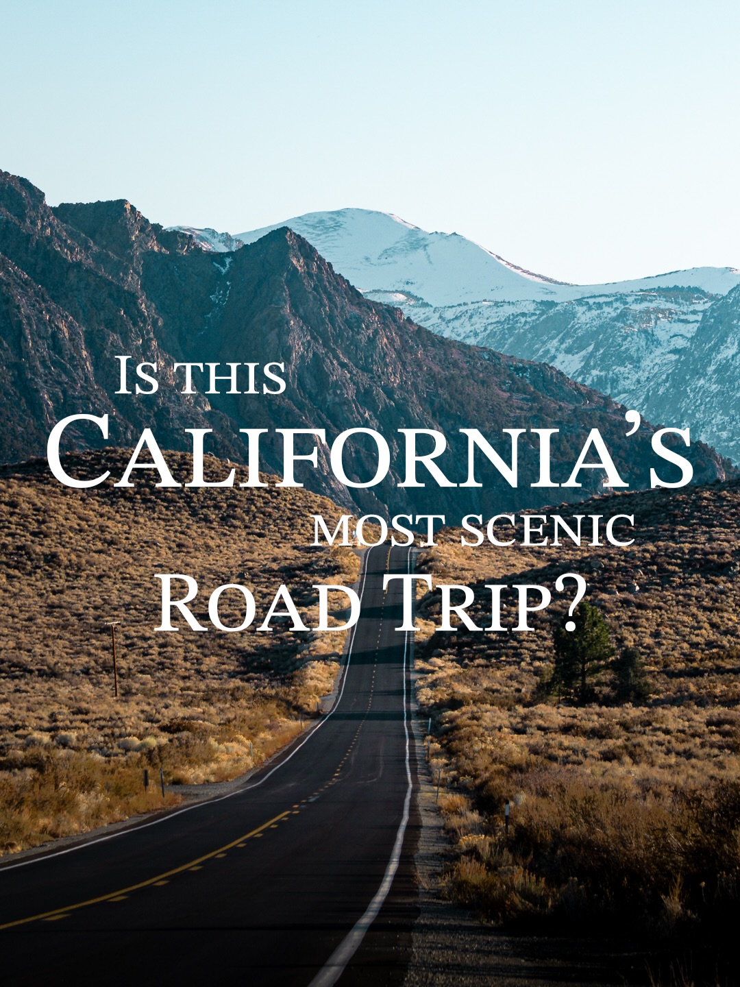
Death Valley, Yosemite Valley, Upper Yosemite Falls Trail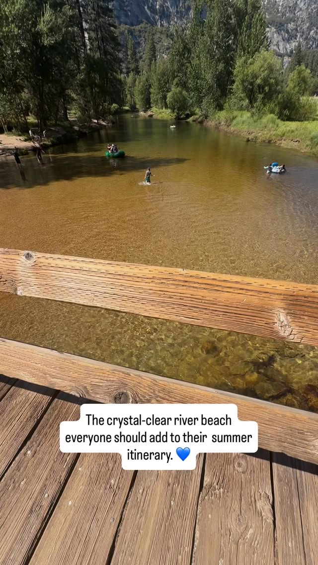
Yosemite Valley: Merced River Recreation Spots
Yosemite Valley Chapel, Curry Village, Swinging Bridge Picnic Area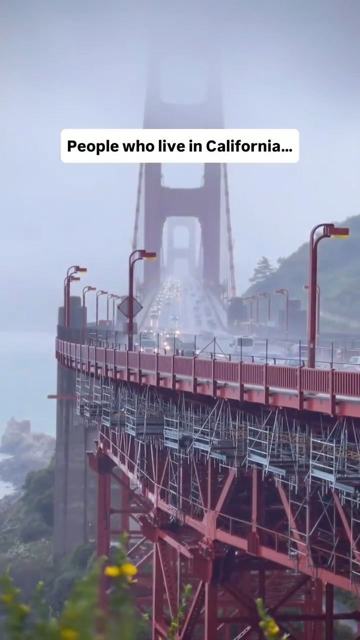
California's Top Natural Wonders And Iconic Landmarks
Golden Gate Bridge, La Jolla Cove, Sunset Cliffs Natural Park
Notable Restaurants And A Donut Shop
Gwen, Guelaguetza Restaurant, Randy's Donuts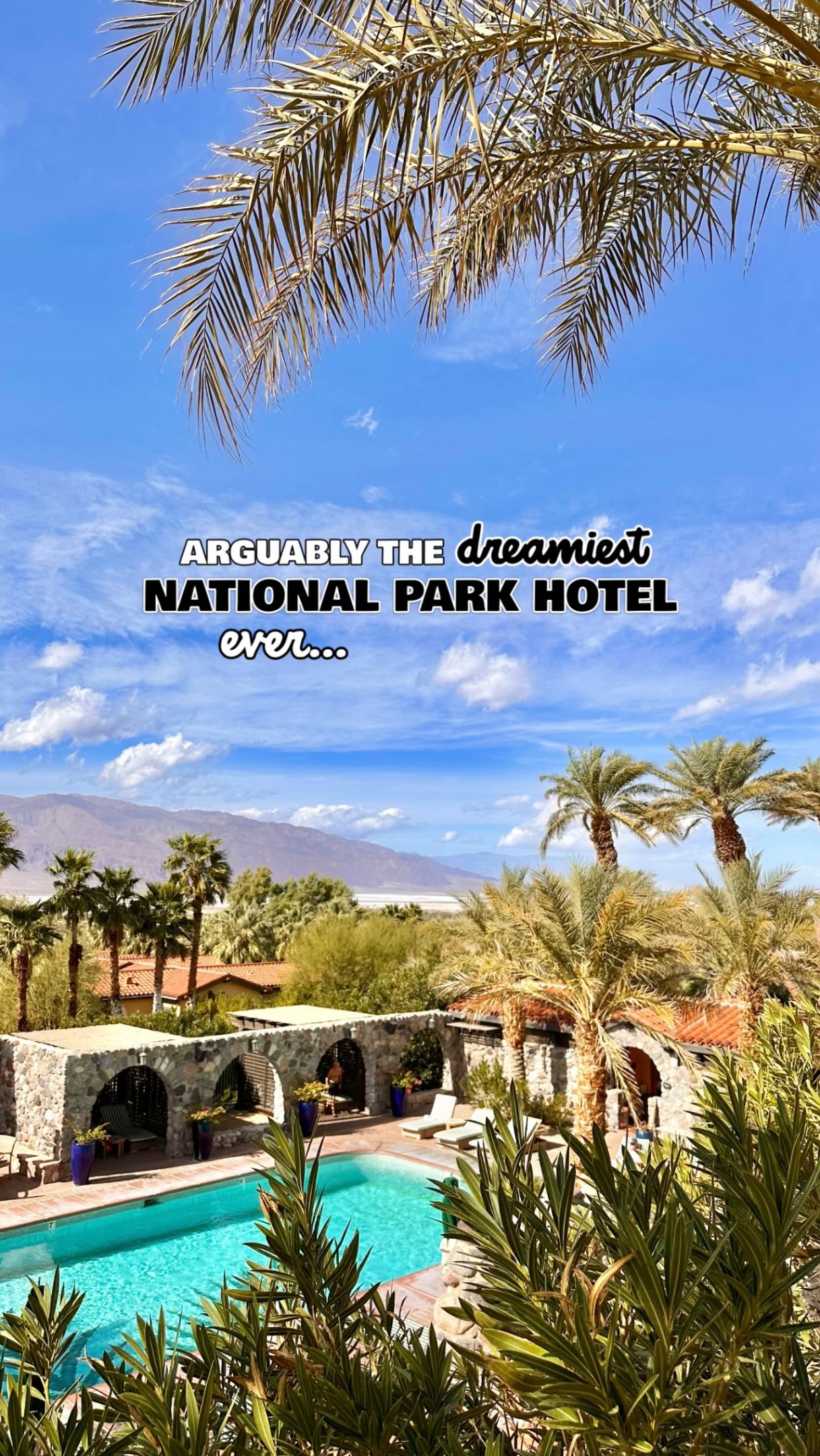
7 Attractions in California
Badwater Basin, Zabriskie Point, Mesquite Flat Sand Dunes