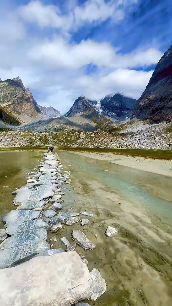
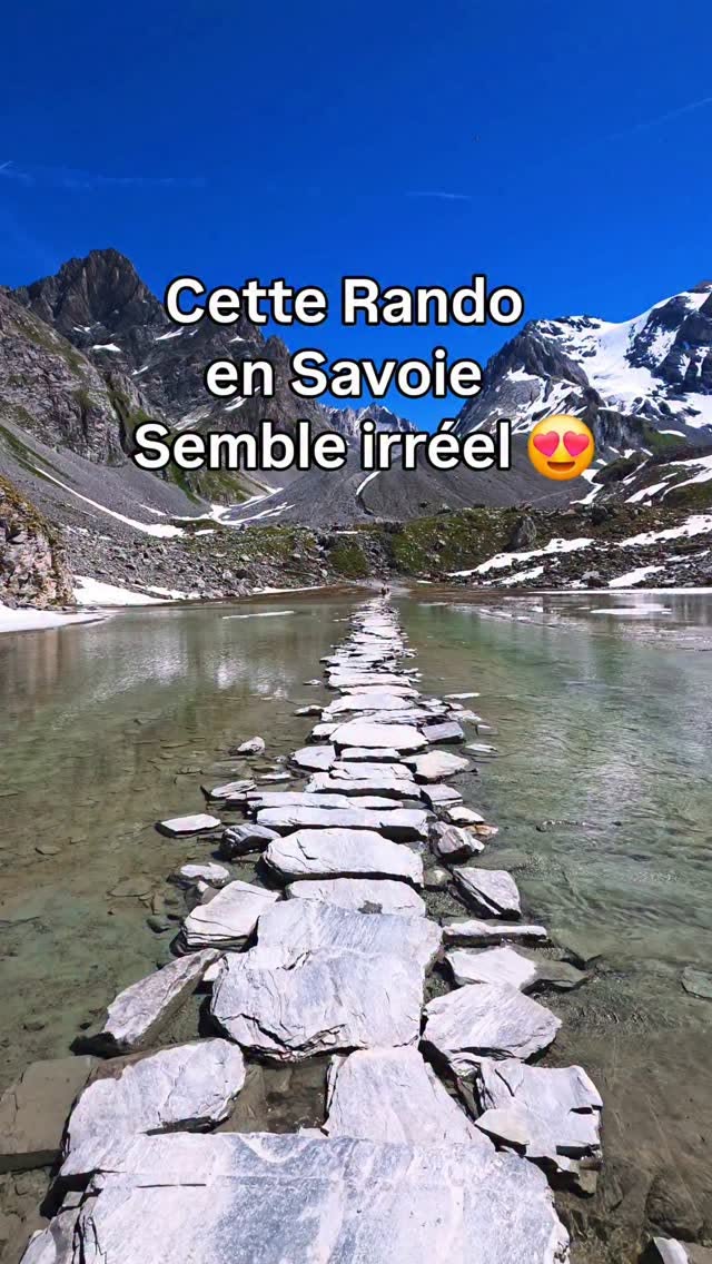
Pralognan Hikes To Lac Des Vaches
Source:
@ladolcemicka


Save places straight from any post.
Share an Instagram, TikTok, YouTube, Facebook, Google Maps or web link to DocentPro and every place in it lands on your map. This post became these 4.
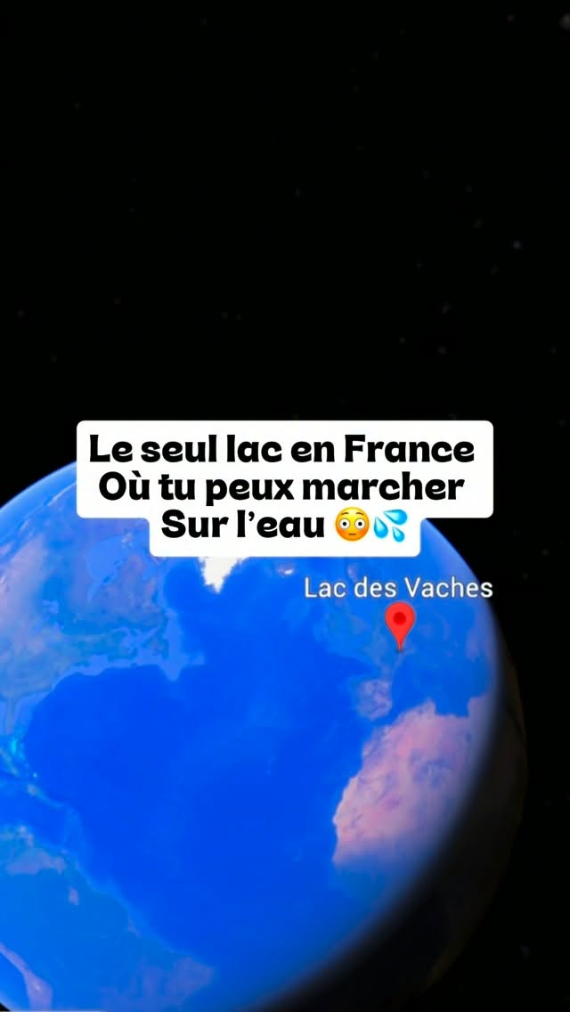

4 places on the map
Explore the map in the DocentPro app4 attractions in Pralognan-la-Vanoise: Lac des Vaches, Col de la Vanoise, Avenue de la Grande Casse, and 1 more. Every place is verified on Google Maps, featured in an Instagram post by Mickael Raimondi.
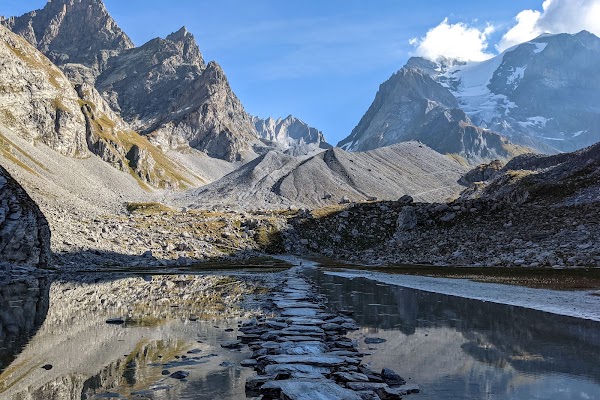
Lac des Vaches

Lake

4.8
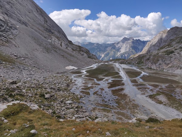
• Hike to see stone slabs laid in the middle of the water • The hike is 8 km round trip and takes about 3h30 • Moderate difficulty with 680 m elevation gain ✓ Dogs are not allowed on this trail
Col de la Vanoise
Natural feature
4.9
• Extend your hike to this pass for views of Grande Casse at 2,515 m • This continuation is for more motivated hikers
Avenue de la Grande Casse
Place
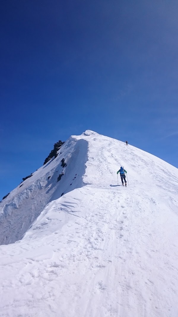
• See the Grande Casse from the Col de la Vanoise • It is a prominent peak standing at 3,855 m
Chairlift Génépi
Ski resort
4.3
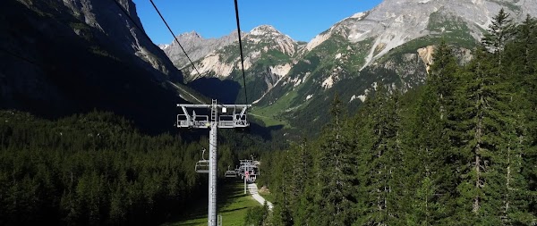
• Take the Génépi chairlift to save about 1h30 of walking ✓ Confirm chairlift operating hours before your visit
Save these 4 places to your map
Keep every place on your own map in DocentPro, and add more as you browse.