
Quebec Peaks and Park Trails
Source:
@quebec.quotidien


Save places straight from any post.
Share an Instagram, TikTok, YouTube, Facebook, Google Maps or web link to DocentPro and every place in it lands on your map. This post became these 7.


7 places on the map
Explore the map in the DocentPro app7 attractions in Canada: Le Pic Champlain, Acropole des Draveurs, Mont Chauve, and 4 more. Every place is verified on Google Maps, featured in an Instagram post by Quebec.Quotidien.
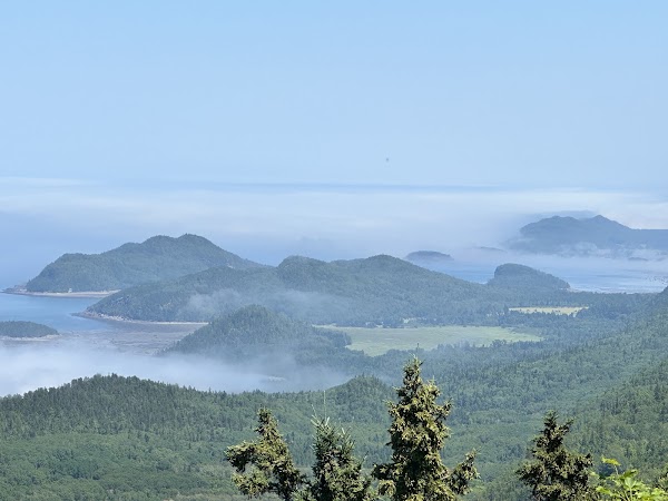
Le Pic Champlain

Hiking area

4.9
• Offers views of the St. Lawrence estuary and Appalachian landscape • 6 km hike, intermediate level • Takes approximately 2 hours
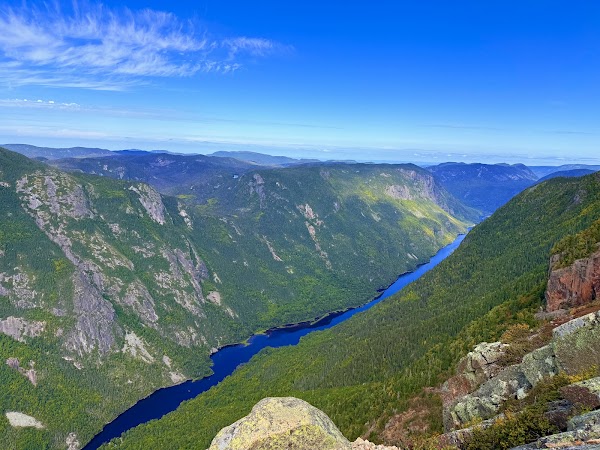
Acropole des Draveurs
Hiking area
4.9
• One of Quebec's most impressive hikes with spectacular river views • 800-meter elevation gain, requires good preparation
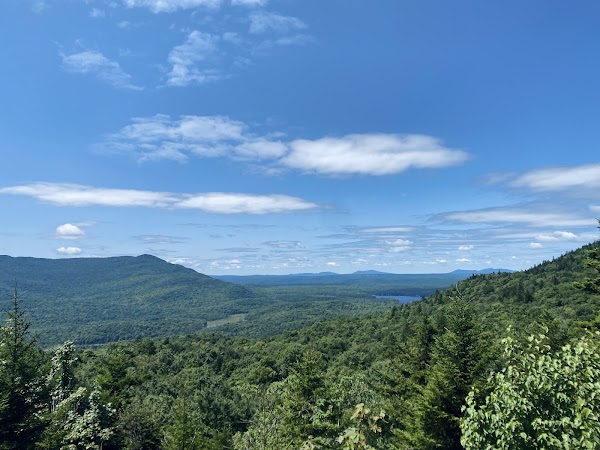
Mont Chauve
Mountain peak
4.6
• Perfect summit to admire autumn colors • 10.6 km loop to the bare summit, over 600 meters altitude • Intermediate level, takes approximately 4 hours
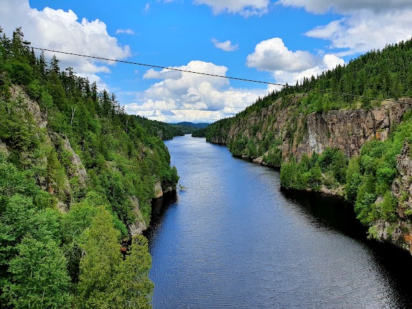
Aiguebelle National Park
National park
4.7
• Autumn colors appear mid-September • 3.5 km loop across cliffs and a suspension bridge over Lake La Haie • Intermediate level, takes approximately 1 hour 30 minutes
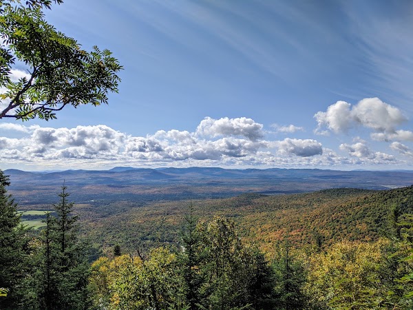
Mont-Saint-Joseph

Landmark
4.8
• Hike to over 1,000 meters altitude • Offers several viewpoints over the mountains and colored forests of Estrie • 10.1 km, difficult level, takes 3 to 5 hours
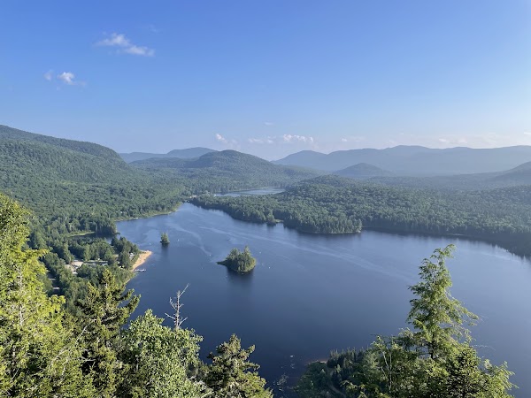
Sentiers La Roche, La Coulée, La Corniche
Hiking area
4.9
• Laurentides classic, especially beautiful in September • Forest climb leads to an impressive view of the lake and surrounding mountains • 5.4 km, intermediate level, takes approximately 2 hours
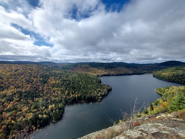
Mont Brassard
Mountain peak
4.8
• Hike with diverse landscapes • Trail passes a waterfall, several lakes, and viewpoints over Lake Rémi and Lanaudière mountains • 6.7 km, intermediate to difficult level
Save these 7 places to your map
Keep every place on your own map in DocentPro, and add more as you browse.