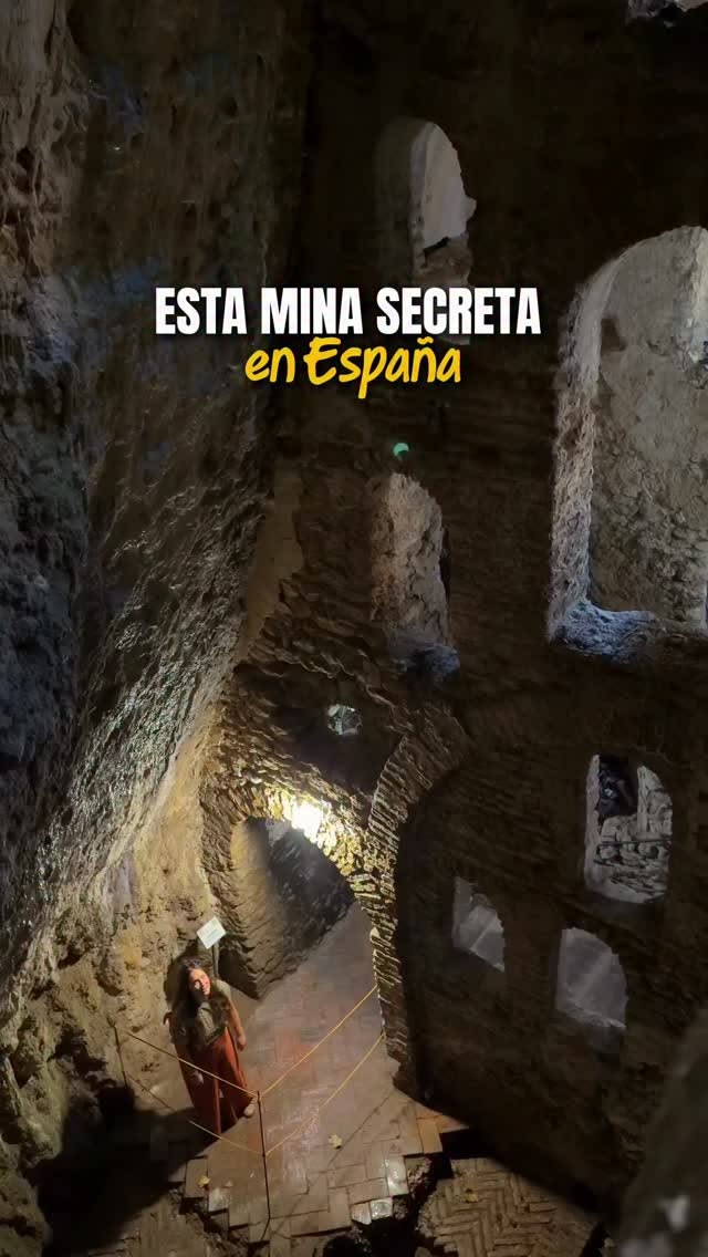
Ronda's Tajo Gorge and Puente Nuevo Trail
Source:
@rediscovering_emily_


Save places straight from any post.
Share an Instagram, TikTok, YouTube, Facebook, Google Maps or web link to DocentPro and every place in it lands on your map. This post became these 4.

4 places on the map
Explore the map in the DocentPro app4 landmarks in Ronda: Puente Nuevo Viewpoint, El Tajo de Ronda, Plaza de María Auxiliadora, and 1 more. Every place is verified on Google Maps, featured in an Instagram post by Emily in Andalucía | Travel Creator.
Puente Nuevo Viewpoint

Landmark

4.8
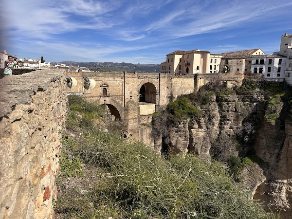
• Iconic bridge offering panoramic views of the El Tajo gorge • The Desfiladero del Tajo trail now allows walking directly underneath it • Built between 1751 and 1793, connecting Ronda's old and new towns

El Tajo de Ronda
Landmark
4.8
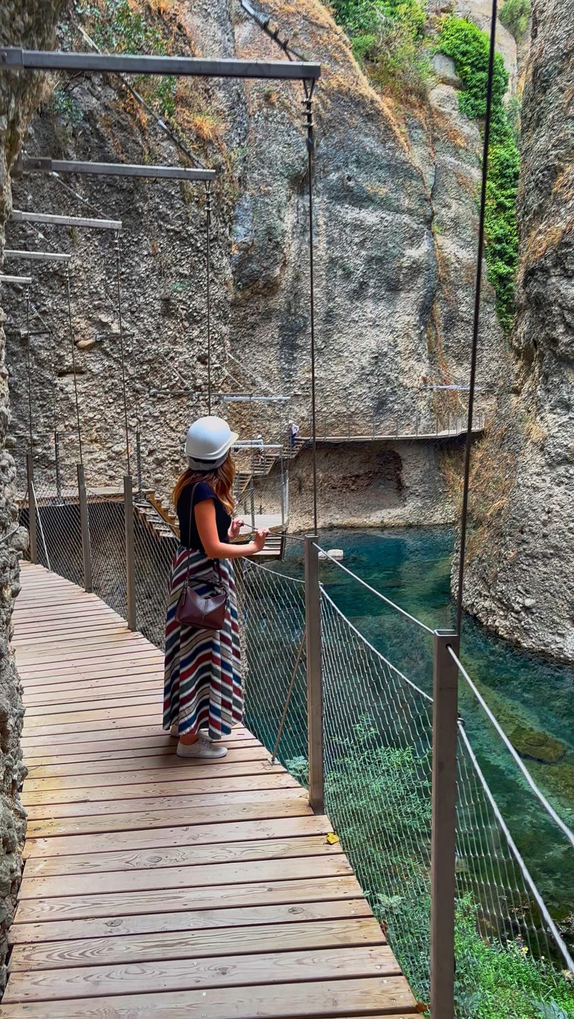
• Gorge with a new trail offering unique views from below the Puente Nuevo • Features emerald waters and suspended boardwalks along the cliff faces ✓ Hard hats are mandatory and provided ✓ Tickets are €12, book online in advance for a time slot
Plaza de María Auxiliadora

Place
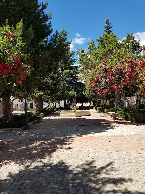
• Starting point for the Desfiladero del Tajo trail • Located in Ronda’s historic center, easy to access
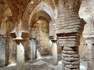
Arab Baths Archaeological Site
Historical landmark
4.3
• Trail ends near here, offering a historical site to visit afterward • Well-preserved Moorish baths from the 13th-14th centuries • Features key architectural elements like star-shaped skylights
Save these 4 places to your map
Keep every place on your own map in DocentPro, and add more as you browse.
More featured places in Ronda
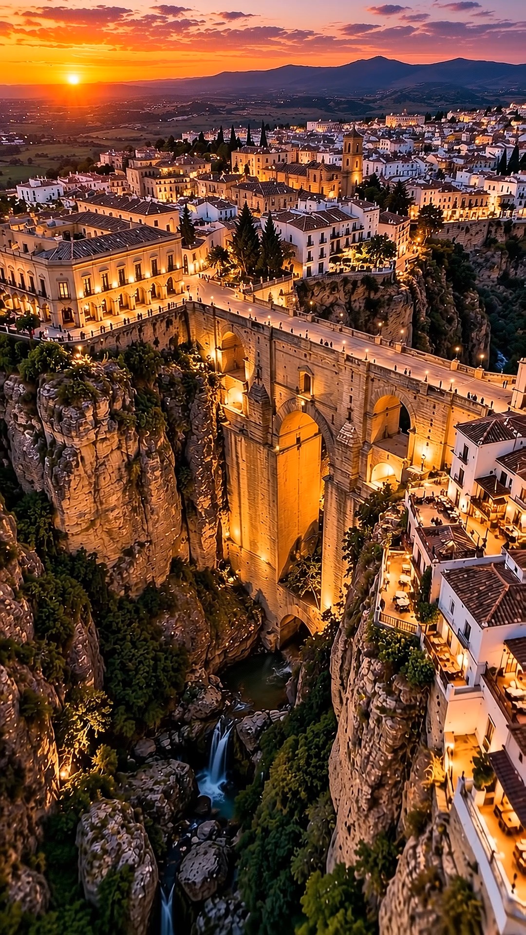
Ronda's Historic Center and Gorge At Sunset
El Tajo de Ronda, Puente Nuevo Viewpoint, Historic Center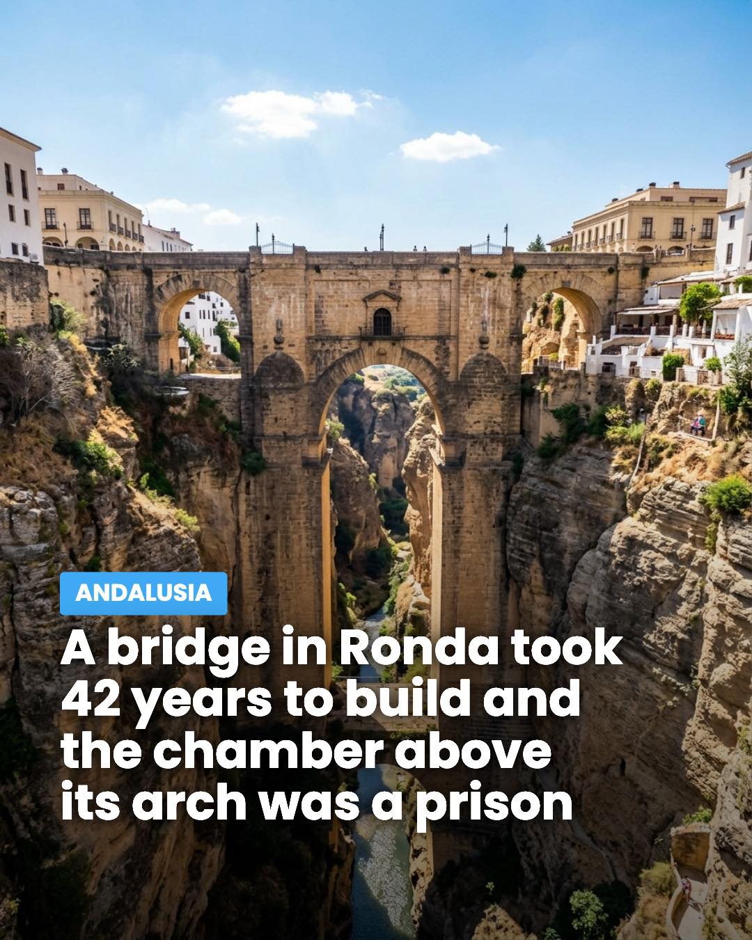
Puente Nuevo Viewpoint's Historic Gorge Setting
Puente Nuevo Viewpoint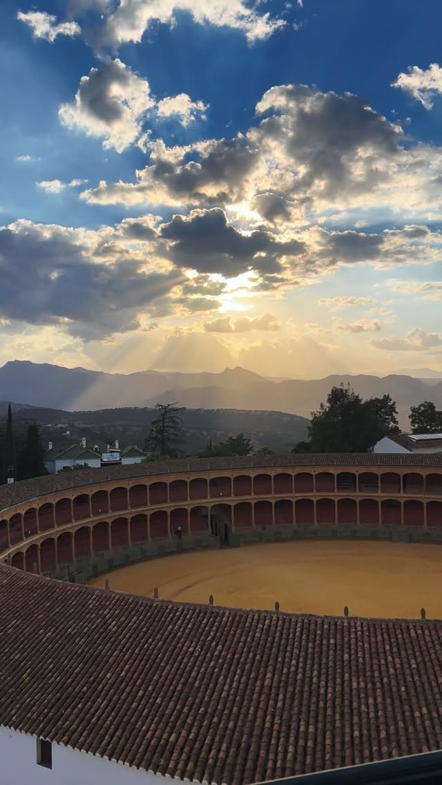
Ronda Rooftop Views Over Bullring
Bullring of the Royal Cavalry of Ronda, Hotel Catalonia Ronda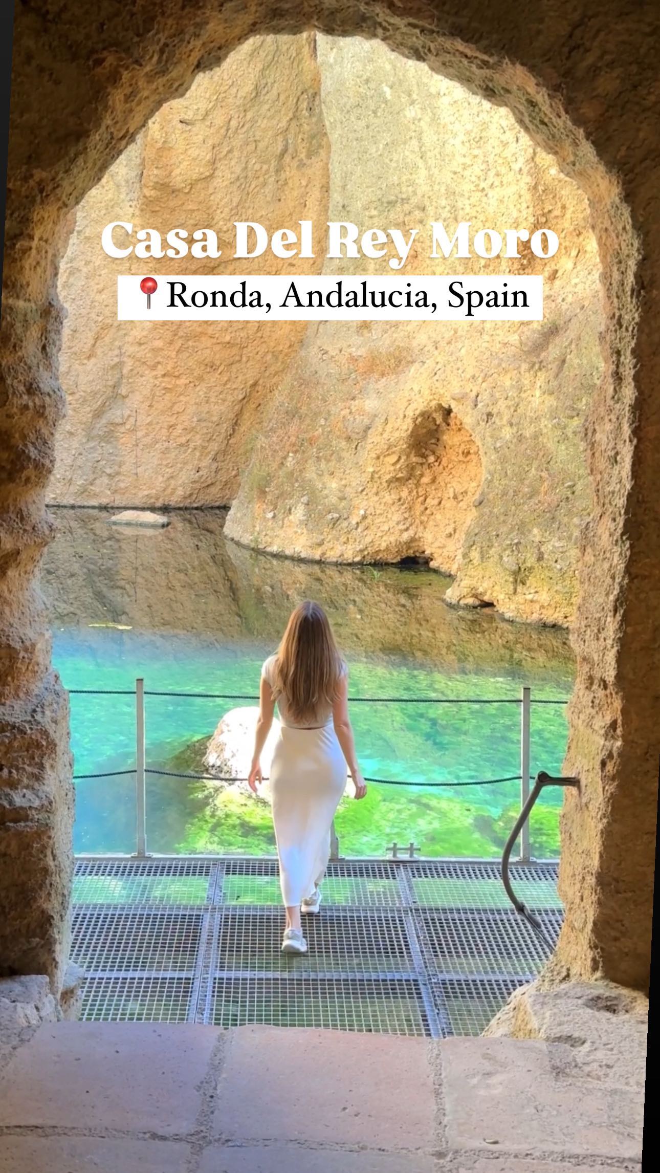
La Casa Del Rey Moro's Historic Water Mine and Views
La Casa del Rey Moro