Sedona's Epic Hiking Trails And Rock Formations
Source:


6 places on the map
Explore the map in the DocentPro app6 hikes in Sedona: Airport Mesa, Subway Cave, Devil's Bridge Trailhead, and 3 more. Every place is verified on Google Maps, featured in a Facebook post by Facebook.
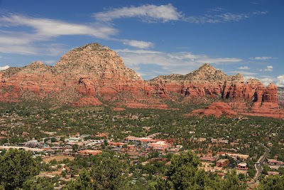
Airport Mesa

Hiking area

4.8
Start your day with an invigorating sunrise hike at a powerful vortex site. Enjoy sweeping 360-degree views of the entire Sedona valley.
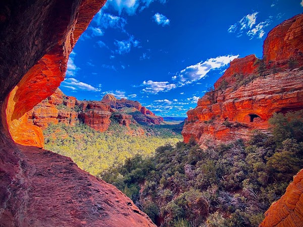
Subway Cave
Hiking area
4.8
Explore unique cave formations within a stunning red rock canyon. This challenging hike leads to incredible geological wonders.
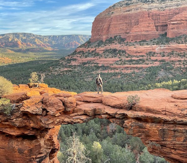
Devil's Bridge Trailhead
Hiking area
4.8
Hike to the largest natural sandstone arch in the area for a memorable sunset. The iconic bridge offers thrilling views and an unforgettable experience.
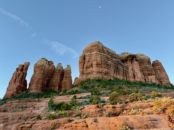
Cathedral Rock
Mountain peak
4.8
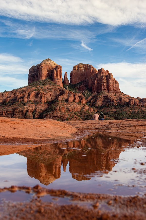
Experience a magical sunrise over iconic red rock spires. The scenic trails offer spectacular panoramic views, perfect for photography.
Secret Slickrock Trailhead
Park
4.8
Witness unforgettable sunsets painting the red rock landscape. This short trail provides impressive views with minimal effort.
Keyhole Cave
Hiking area
4.5
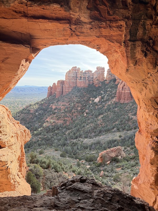
Discover a hidden gem offering spectacular framing of the landscape. The cave entrance perfectly frames the red rock formations, creating stunning photo opportunities.
Save these 6 places to your map
Keep every place on your own map in DocentPro, and add more as you browse.
More featured places in Sedona
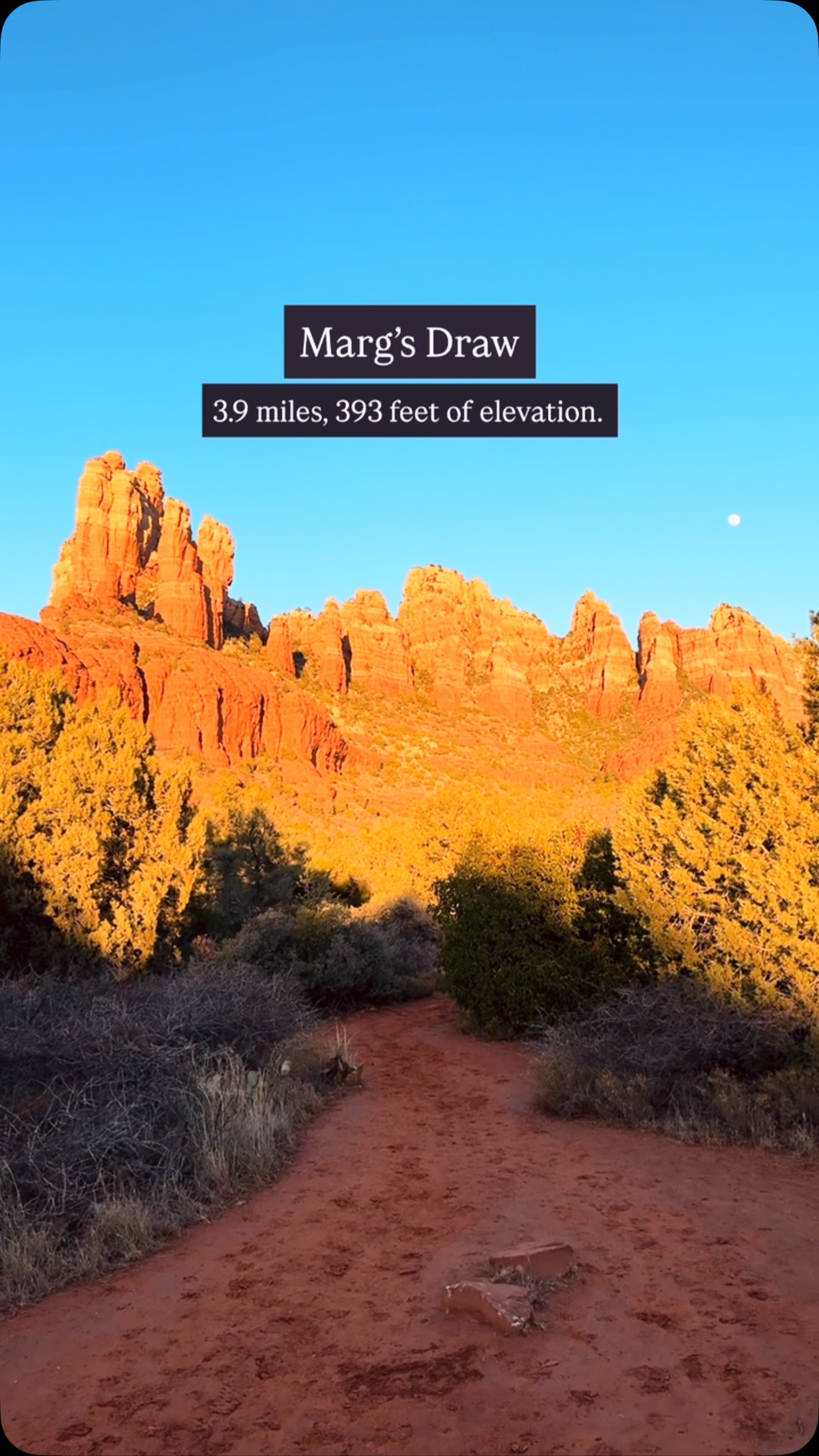
Sedona's Best Hiking Trails and Red Rock Views
Munds Wagon Trail, Secret Slickrock Trail, Wilson Mountain Trail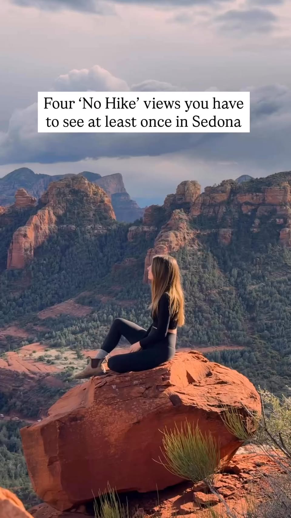
Sedona's Best No-Hike Scenic Views
Chapel of the Holy Cross, Crescent Moon Ranch, Sedona Airport Scenic Lookout
Five Secluded Sedona Trails and Parks
Amitabha Stupa and Peace Park, Secret Slickrock Trail, Devil's Bridge Trailhead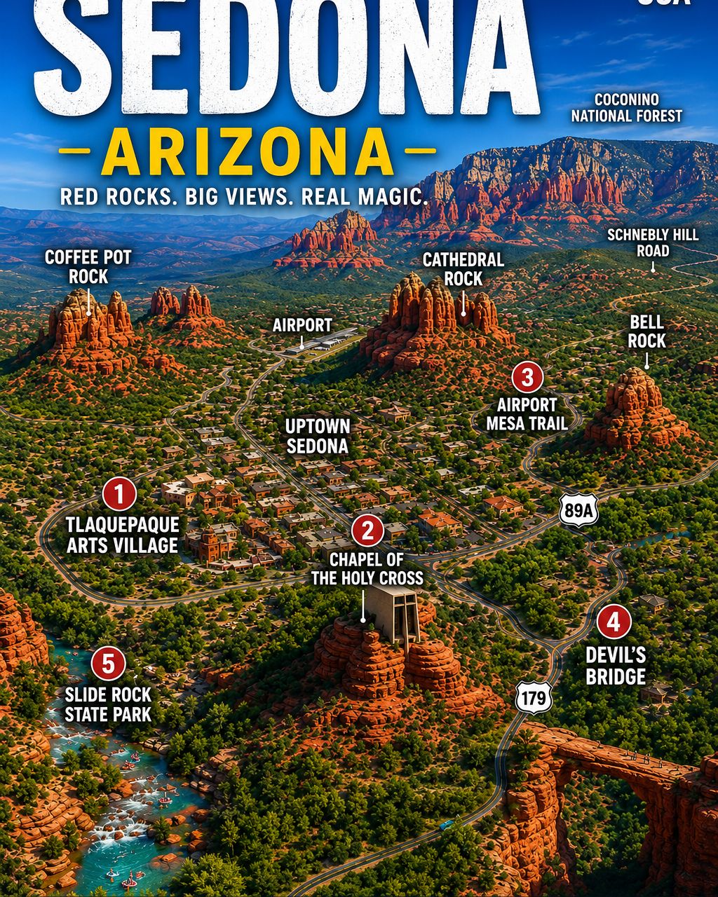
Explore Sedona's Red Rock Wonders and Natural Beauty
Chapel of the Holy Cross, Slide Rock State Park, Tlaquepaque Arts & Shopping VillageSedona's Art, Dining, and Outdoor Adventures
Tlaquepaque Arts & Shopping Village, Arabella Hotel Sedona, Stagecoach Smokehouse