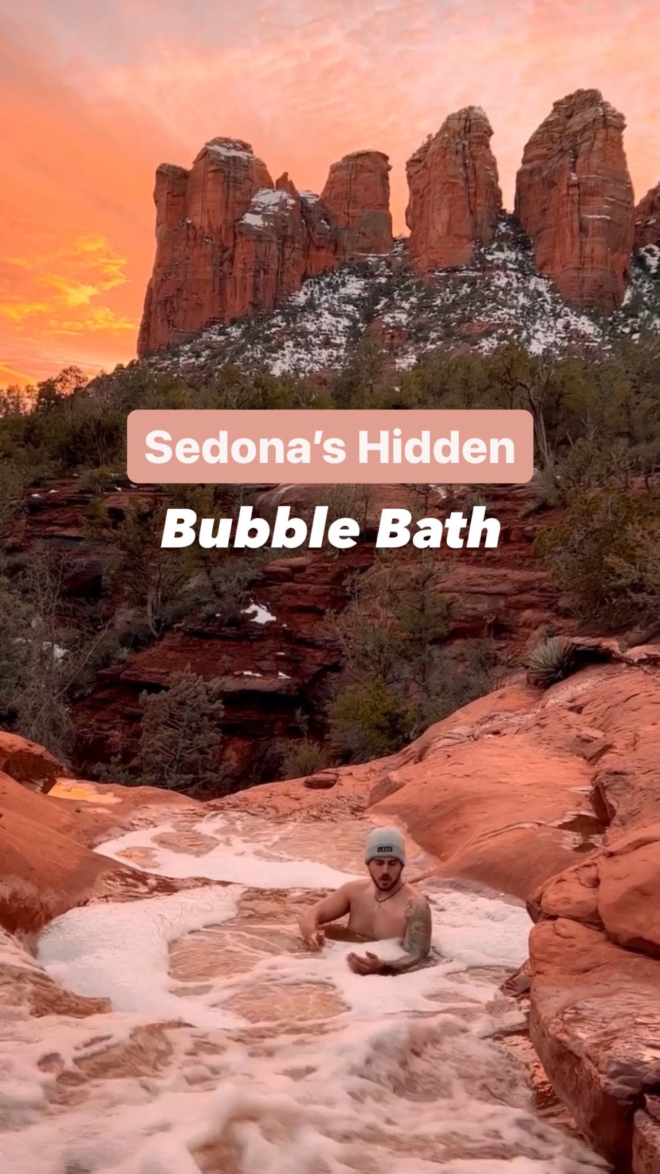
Sedona's Natural Wonders And Hiking Trails
Source:
@thespinningatlas
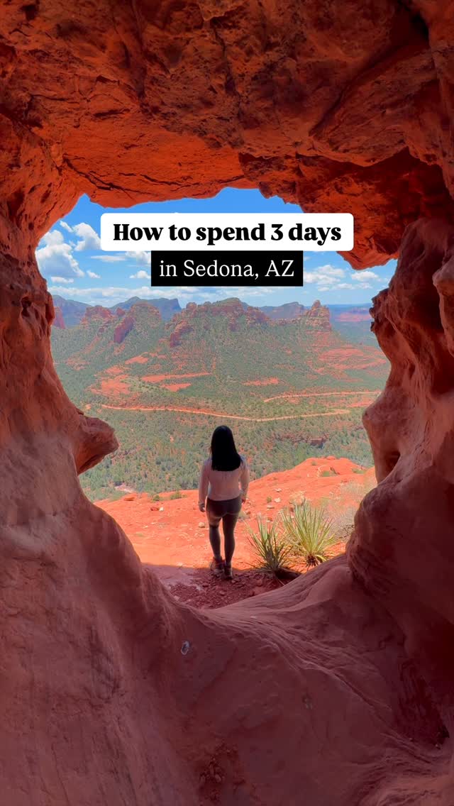

6 places on the map
Explore the map in the DocentPro app6 hikes in Sedona: Window Cave Lookout, Merry Go Round Rock Road, Devil's Bridge Trailhead, and 3 more. Every place is verified on Google Maps, featured in an Instagram post by Zurui & Travis | Adventure Travel.
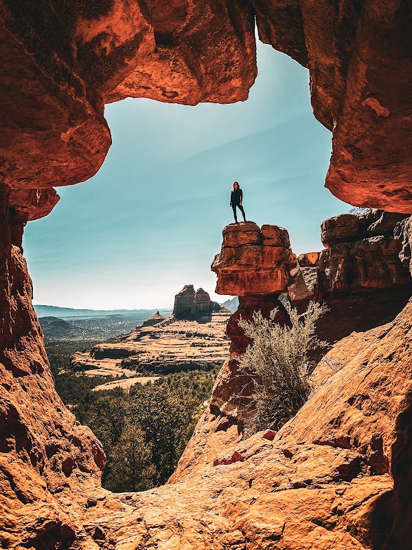
Window Cave Lookout

Hiking area

4.8
• Natural rock formation and viewpoint along Schnebly Hill • Enjoy panoramic views of the Sedona landscape ✓ High clearance 4x4 required to reach the trailhead via Schnebly Hill Road
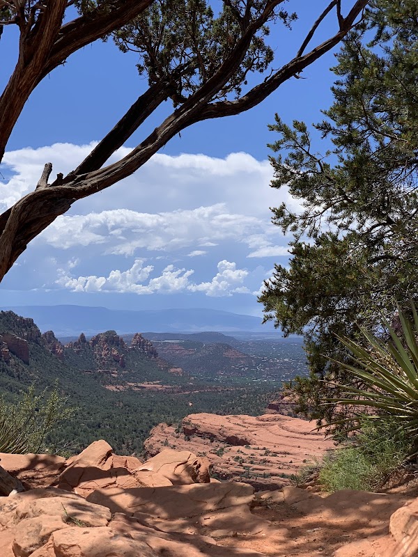
Merry Go Round Rock Road
Place
• 1.4-mile round trip moderate trail • Offers unique views of the surrounding red rock landscape ✓ High clearance 4x4 allows driving closer to the trailhead on Schnebly Hill Road
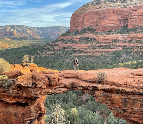
Devil's Bridge Trailhead
Hiking area
4.8
• Popular natural sandstone arch with a scenic hike • 4 miles round trip from the main parking lot ✓ High clearance 4x4 can shorten the hike to 1.8 miles round trip by driving past Dry Creek Road
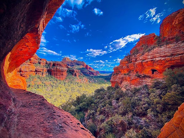
Subway Cave
Hiking area
4.8
• Formed by ancient stream erosion, a unique cave structure • 7.5 miles round trip hike; starts easy but has exposed sections near the cave ✓ Go early morning to avoid crowds and have the cave to yourself
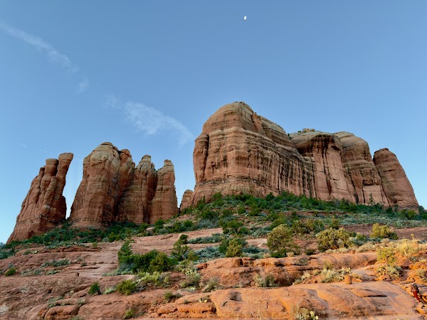
Cathedral Rock
Mountain peak
4.8
• Iconic Sedona landmark with a 1.2-mile round trip trail • Requires some scrambling in sections ✓ Shuttle to the trailhead may be necessary depending on the season
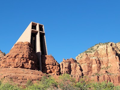
Chapel of the Holy Cross
Church
4.8
• Architecturally striking chapel built into the red rocks • Offers stunning panoramic views of the surrounding landscape • Designed by Marguerite Brunswig Staude, a student of Frank Lloyd Wright
Save these 6 places to your map
Keep every place on your own map in DocentPro, and add more as you browse.
More featured places in Sedona
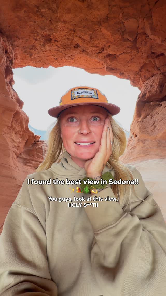
Sedona's Hangover Trail Offers Stunning Red Rock Views
Hangover Trail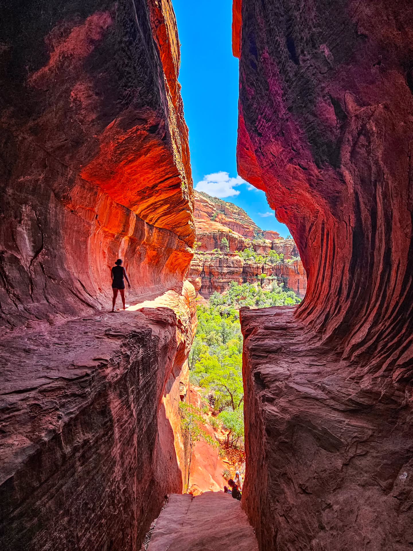
Sedona's Subway Cave Rock Formations
Subway Cave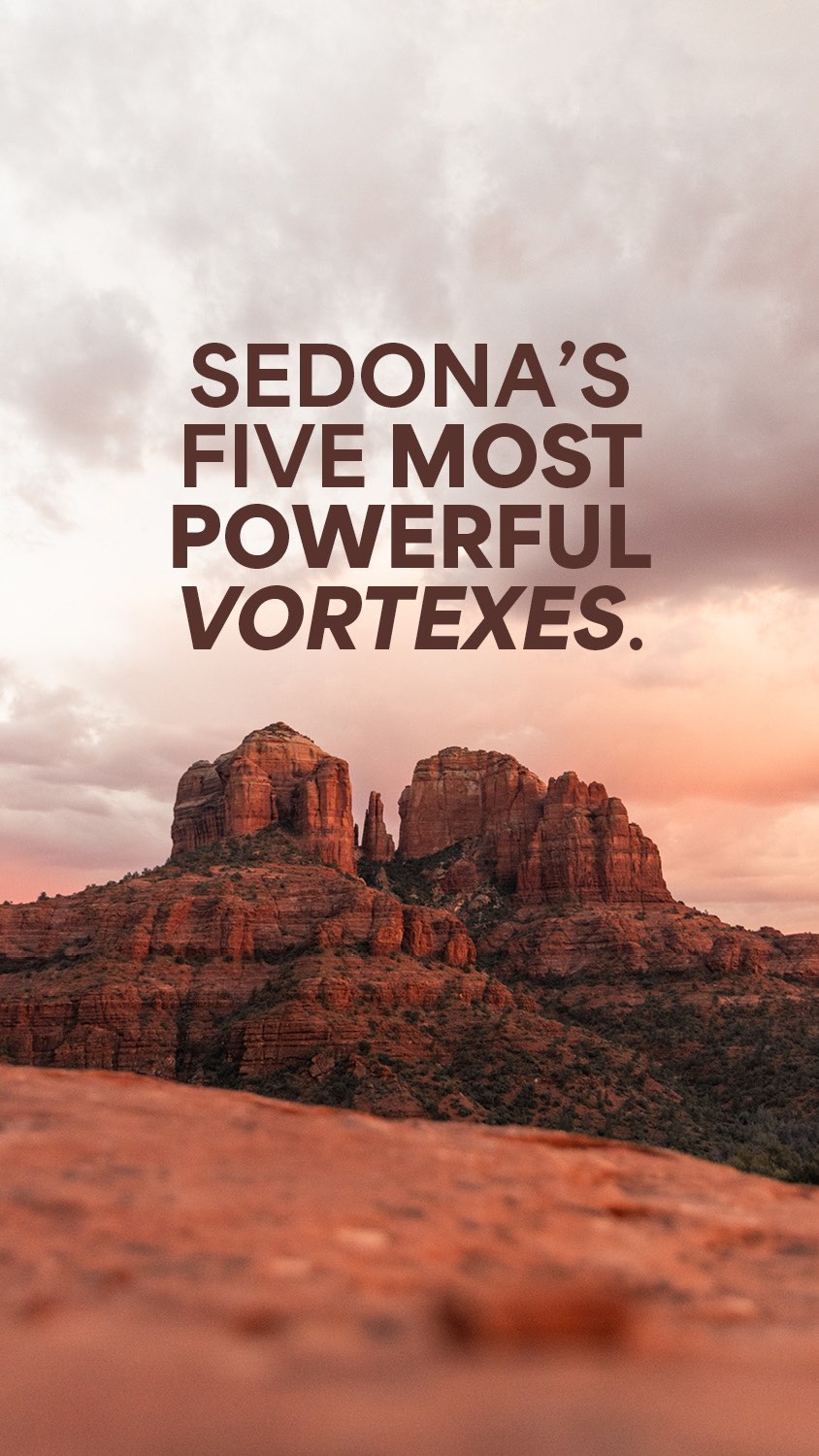
Sedona's Five Powerful Vortex Energy Sites
Chapel of the Holy Cross, Airport Mesa, Sedona Airport Scenic Lookout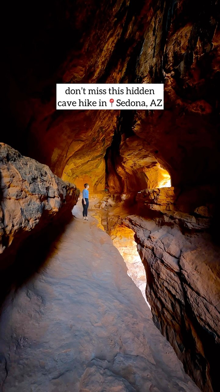
Sedona's Soldier Pass Cave And Other Natural Wonders
Soldier Pass Trail, Seven Sacred Pools, Soldier Pass Cave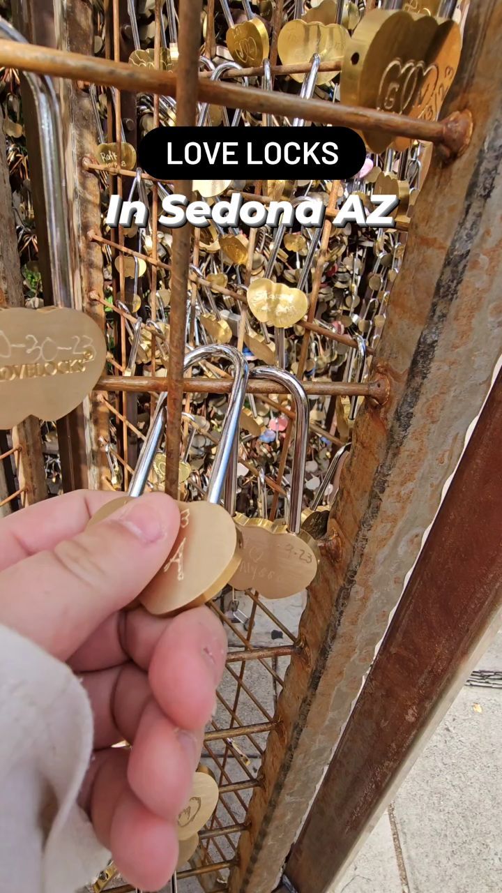
Arizona Village Features Love Lock Fence
Tlaquepaque Arts & Shopping Village, Just Us Girls