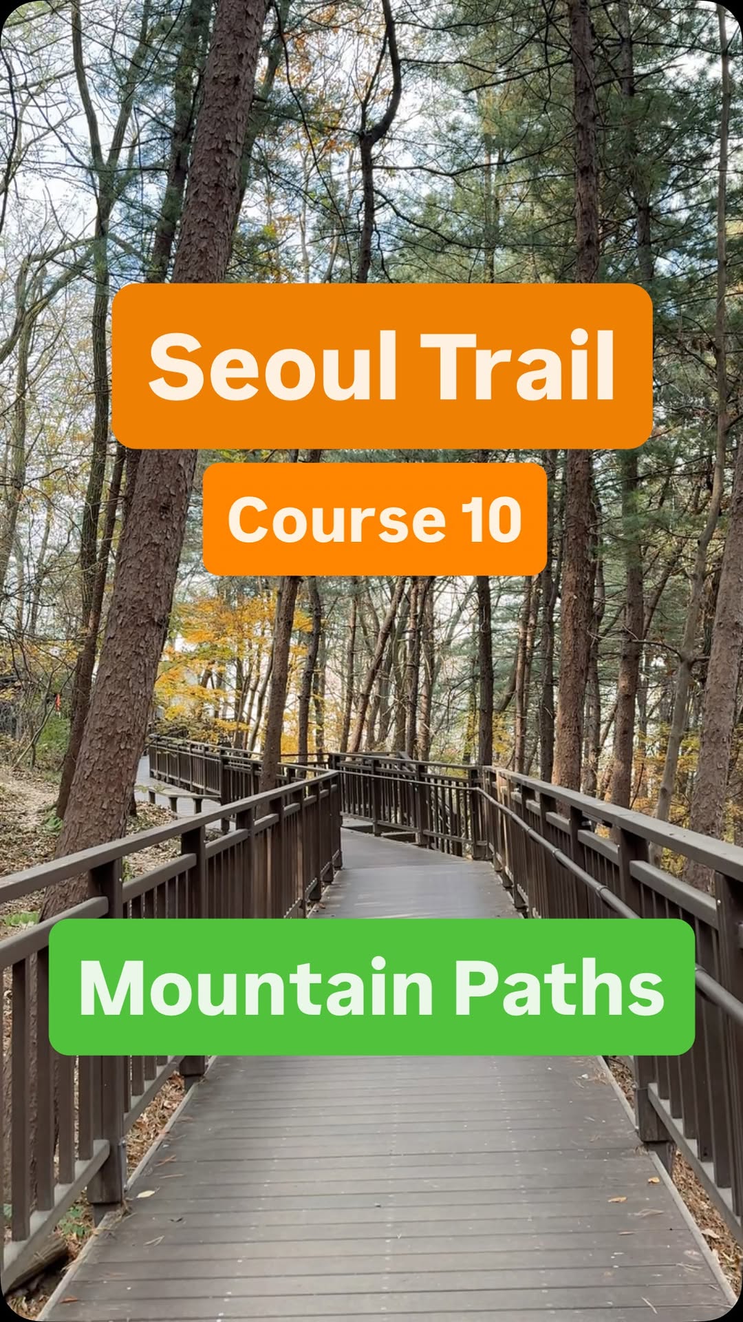
Seoul Trail 2.0 Mountain Path Exploration
Source:
@my_korean_adventure


Save places straight from any post.
Share an Instagram, TikTok, YouTube, Facebook, Google Maps or web link to DocentPro and every place in it lands on your map. This post became these 4.

4 places on the map
Explore the map in the DocentPro app4 places in Seoul: Sadang Station, 우면산, Yangjae Citizen Forest, and 1 more. Every place is verified on Google Maps, featured in an Instagram post by Daniele/Expat Travel Vlogger.

Sadang Station

Subway station

4.1
Finish your hike conveniently near this subway exit. Easy access to public transport after your trail adventure.
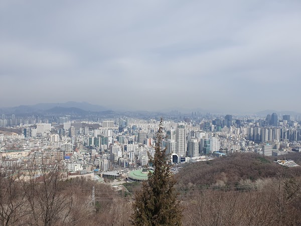
우면산
Mountain peak
4.2
Hike through gentle slopes with city views. Discover temples and natural beauty on this mountain trail.
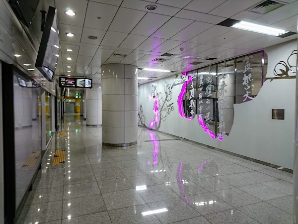
Yangjae Citizen Forest
Subway station
4.3
Start your hike at this accessible station exit. Easy access to the trail makes it a convenient starting point.

Seoul Hiking Tourism Center(Gwanaksan)
Tourist information center
5.0
Get your free stamp book and trail info here. A must-stop for planning your Seoul Trail adventure.
Save these 4 places to your map
Keep every place on your own map in DocentPro, and add more as you browse.
More featured places in Seoul

Korean Color Branding Centers
PIC COLOR BRANDING CENTER, PIC COLOR BRANDING CENTER Hongdae, PIC COLOR BRANDING CENTER Gangnam
Seoul Salons: Itaewon and Myeongdong
Itaewon-dong, JUNO HAIR Myeongdong 2
Seoul Cafes Featuring a Famous Crosswalk
Yeonhui-dong, midopa coffee house, Seodaemun-gu
Busan and Buam-dong: A Seoul Neighborhood Gem
Busan, Buam-dong, 아트포라이프
Four Cultural Spots in South Korea
Hwarangdae, Museum SAN, Dae-o Bookstore