Sequoia National Park Area's River and Swimming Holes
Source:
@scenic_adventure_travel


Save places straight from any post.
Share an Instagram, TikTok, YouTube, Facebook, Google Maps or web link to DocentPro and every place in it lands on your map. This post became these 4.


4 places on the map
Explore the map in the DocentPro app4 parks in California: Middle Fork Kaweah River, Sequoia & Kings Canyon National Parks, Hospital Rock River Trailhead, and 1 more. Every place is verified on Google Maps, featured in an Instagram post by Crystal | Adventure Travel• California & Beyond.

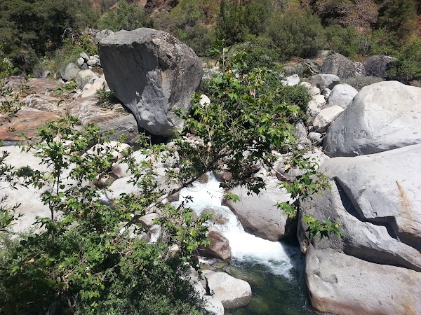
Middle Fork Kaweah River

River

2.5
• Offers a clear natural swim pool fed by a waterfall • Perfect for swimming and soaking your feet under a cave rock • Water is refreshing in summer
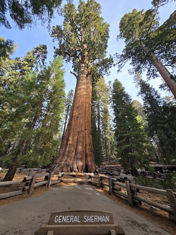
Sequoia & Kings Canyon National Parks
Park
4.9
• Home to giant sequoia trees and dramatic mountain scenery • Offers diverse hiking trails and outdoor activities • Provides access to the Hospital Rock River Trail, a hidden gem for swimming
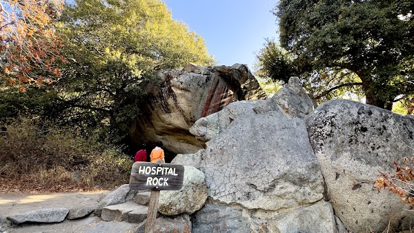
Hospital Rock River Trailhead
Hiking area
4.8
• Short 0.3-mile trail leading to the Middle Fork of the Kaweah River • Leads to a waterfall and clear natural swim pool • An 8-minute walk from the parking lot
Hospital Rock Picnic Area
Picnic ground
4.7
• Parking area for accessing the Hospital Rock River Trail • Located on the Generals Highway
Save these 4 places to your map
Keep every place on your own map in DocentPro, and add more as you browse.
More featured places in California

Mount Tamalpais Offers Scenic Bay Area Views
Mount Tamalpais East Peak, Mount Tamalpais
California's Most Beautiful Natural and Urban Destinations
The Painted Ladies, Emerald Bay State Park, Griffith Observatory
Bay Area Destinations for Halloween Fun
Golden Gate Bridge, Santa Cruz Beach Boardwalk, Filoli Historic House & Garden
California's Christmas Road Trip Destinations
Balboa Park, Disneyland Park, Filoli Historic House & Garden
Northern California's Top 10 Date Night Destinations
Waterbar Restaurant, Cityscape, Chotto Matte San Francisco