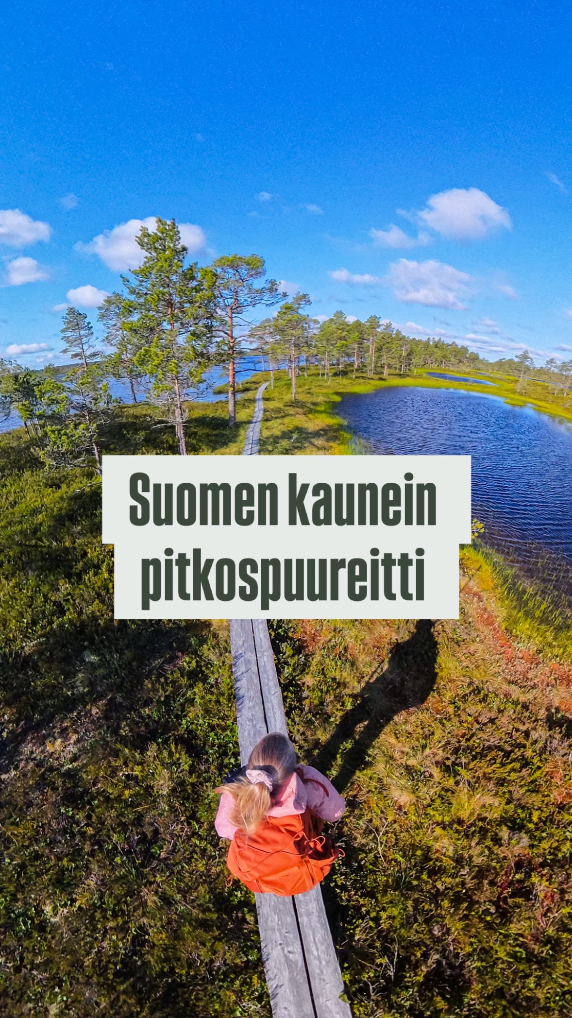
South Ostrobothnia's Autumn Hiking Trails
Source:
@retkeilelakeuksilla

4 places on the map
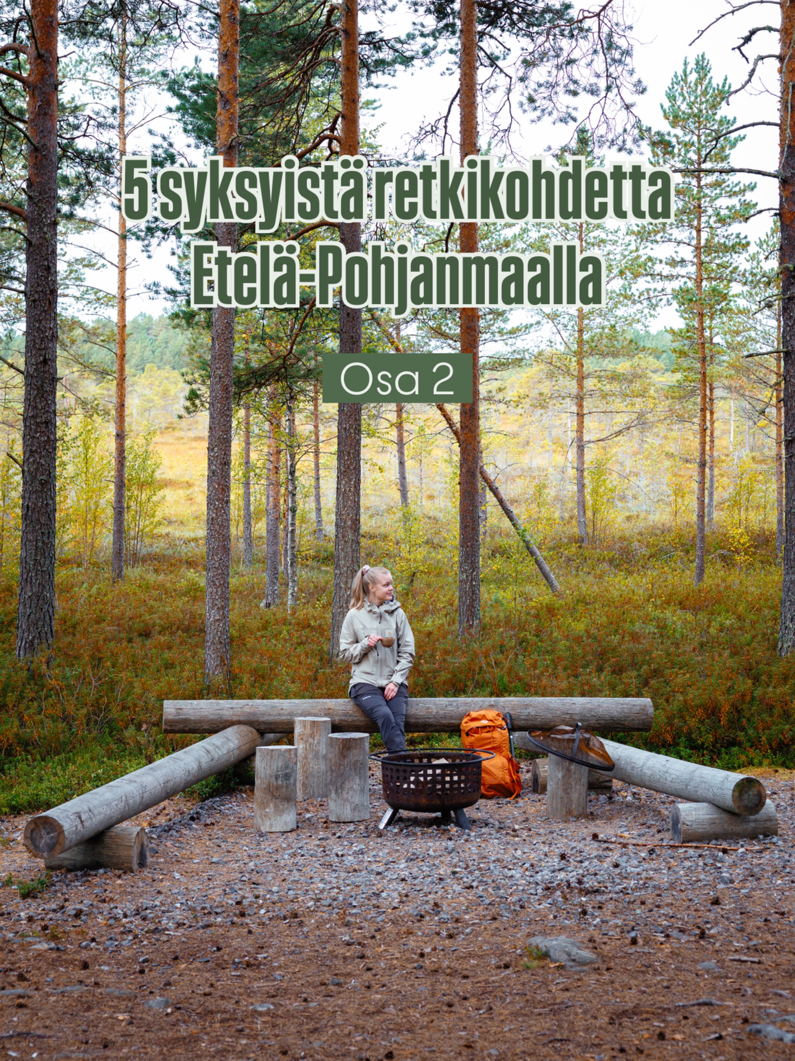
Explore the map in the DocentPro app4 hikes in Etelä-Pohjanmaa: Kainuunlampi, Pässilä Nature Trail, Haarus Hiking Trail Network | Haaruksenportti, and 1 more. Every place is verified on Google Maps, featured in an Instagram post by Alexandra Parkkonen.
Kainuunlampi

Lake

3.0
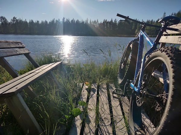
Relax at this beautiful lean-to located right on the shore of Kainuunlampi lake, offering serene waterside views. While the official starting point is further, a closer access road makes it conveniently reachable. Enjoy a peaceful moment by the water.
Pässilä Nature Trail
National park
4.5
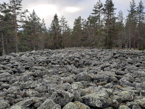
Tackle this 11 km loop trail, featuring nearly a kilometer of unique boulder fields and multiple lean-to shelters. For the adventurous, extend your hike with an additional 6 km route. Download a map application, as trail markers can be worn.
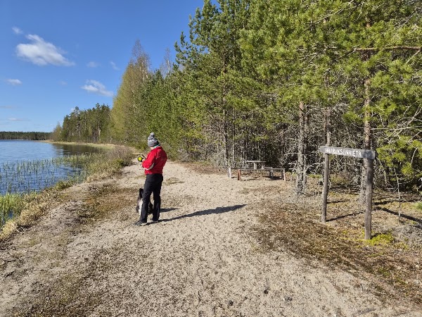
Haarus Hiking Trail Network | Haaruksenportti
Hiking area
4.3
Discover easy-to-navigate trails between 0.5 and 5 km, ideal for families with children. The routes feature campfire spots, perfect for a cozy break. Enjoy a relaxed day outdoors with nature accessible for all ages.
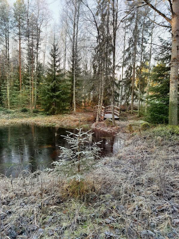
Ketunlenkki Circle Route
Hiking area
4.2
Explore diverse loop trails ranging from 4.2 to 7.2 km, offering lean-to shelters and campfire sites for a true wilderness experience. Korven Jotos I and II are recommended for their accessibility. Immerse yourself in the tranquility of the Finnish forest.
Save these 4 places to your map
Keep every place on your own map in DocentPro, and add more as you browse.
More featured places in Etelä-Pohjanmaa
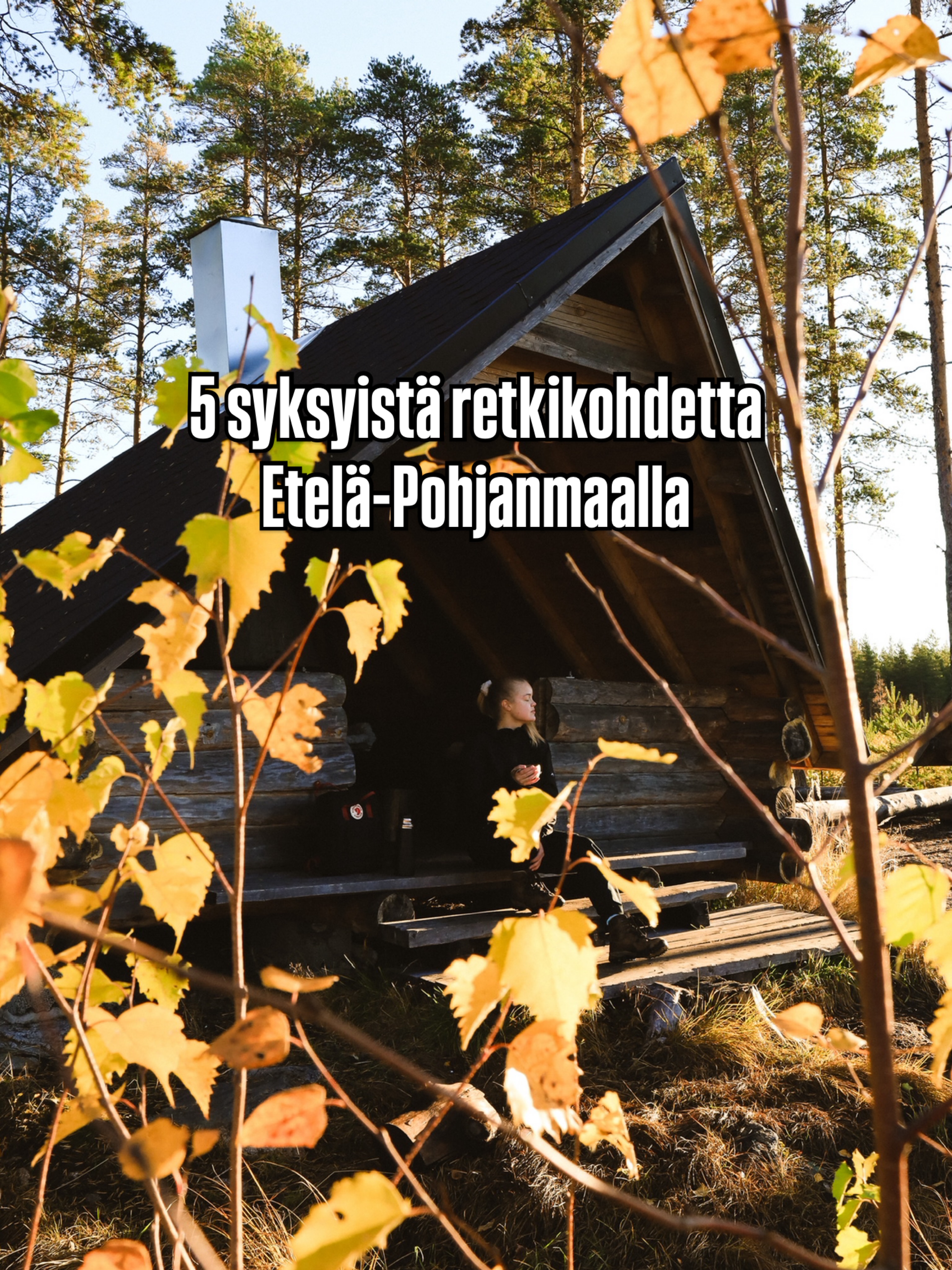
South Ostrobothnia Autumn Nature Trails
Iso-Kakkori, Lintuneva Duckboard Trail, Paukaneva Duckboards