Southern Utah's Red Rock Formations and Scenic Drives
Source:
@themccollams
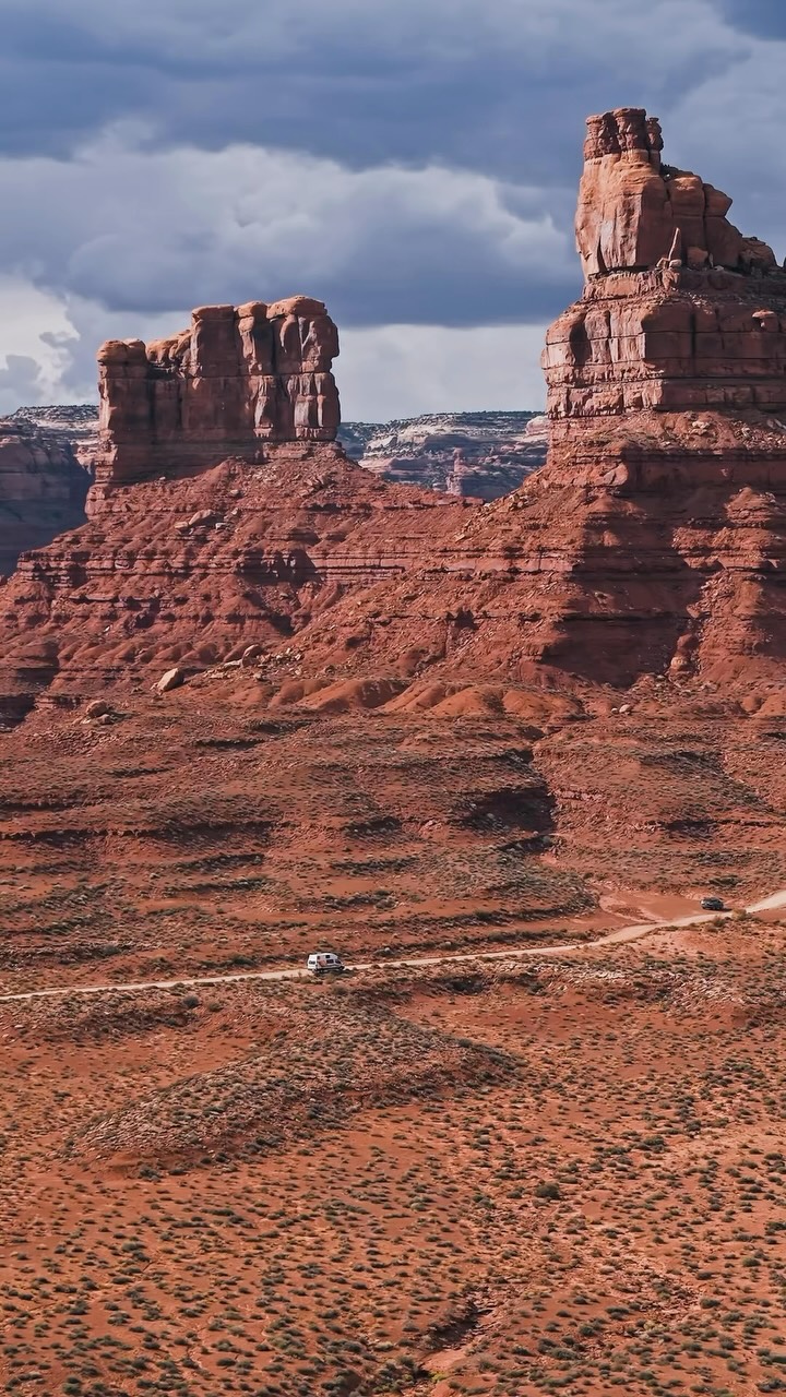

5 places on the map
Explore the map in the DocentPro app5 places in Utah: Goosenecks State Park, Valley of the Gods, Highway 261, and 2 more. Every place is verified on Google Maps, featured in an Instagram post by Michael, Maria & Ella | Family Travel.
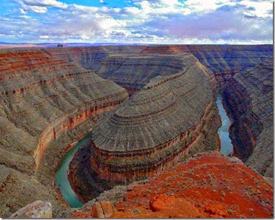
Goosenecks State Park

State park

4.6
Witness the spectacular entrenched meanders of the San Juan River, a geological marvel. The river loops back and forth three times, creating a striking "goosenecks" pattern. It's a unique and accessible viewpoint.
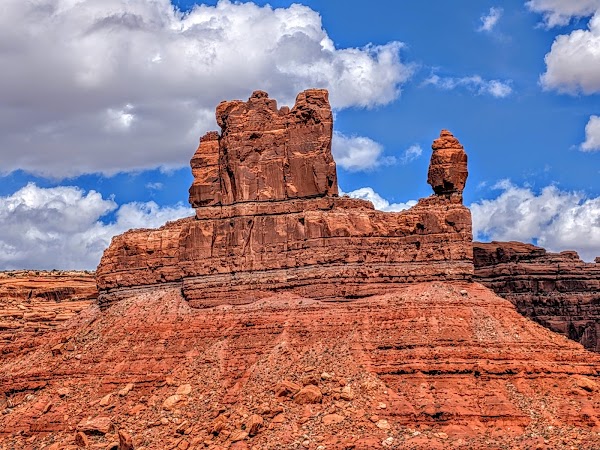
Valley of the Gods
Park
4.9
Explore this stunning red sandstone valley with towering buttes and spires, a less crowded alternative to Monument Valley. Drive the 17-mile loop road for breathtaking views and unique rock formations. Visit during spring or fall for ideal weather conditions.
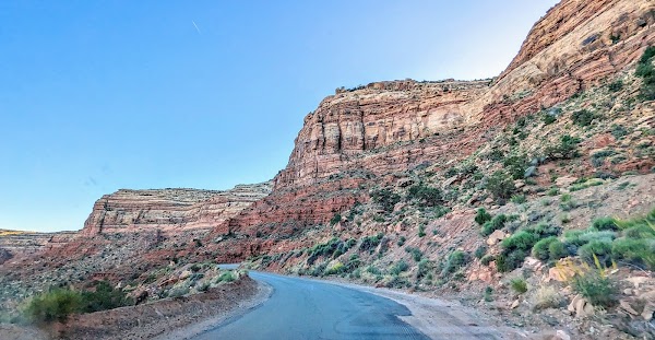
Highway 261
Place
Experience a breathtaking drive on this unpaved switchback road, carved into the cliff face. It offers dramatic panoramic views of Valley of the Gods below. This thrilling ascent is a highlight for adventurous travelers.
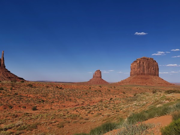
Oljato
Place
Witness the iconic desert landscape of towering sandstone buttes, a truly majestic sight. Experience the classic American West vistas often featured in films. Consider a guided tour to learn about the Navajo Nation's cultural heritage.
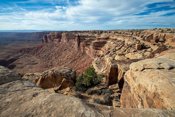
Muley Point
Natural feature
5.0
Discover expansive, uninterrupted views of the Monument Valley and San Juan River below from this stunning viewpoint. It's a perfect spot for sunset, offering solitude and photographic opportunities. Bring your camera for unforgettable desert vistas.
Save these 5 places to your map
Keep every place on your own map in DocentPro, and add more as you browse.
More featured places in Utah
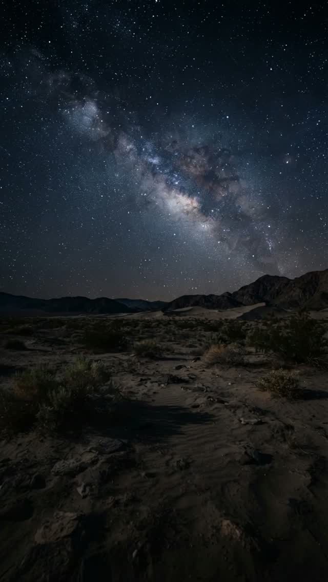
Natural Bridges National Monument's Dark Sky Wonders
Natural Bridges National Monument, Owachomo Bridge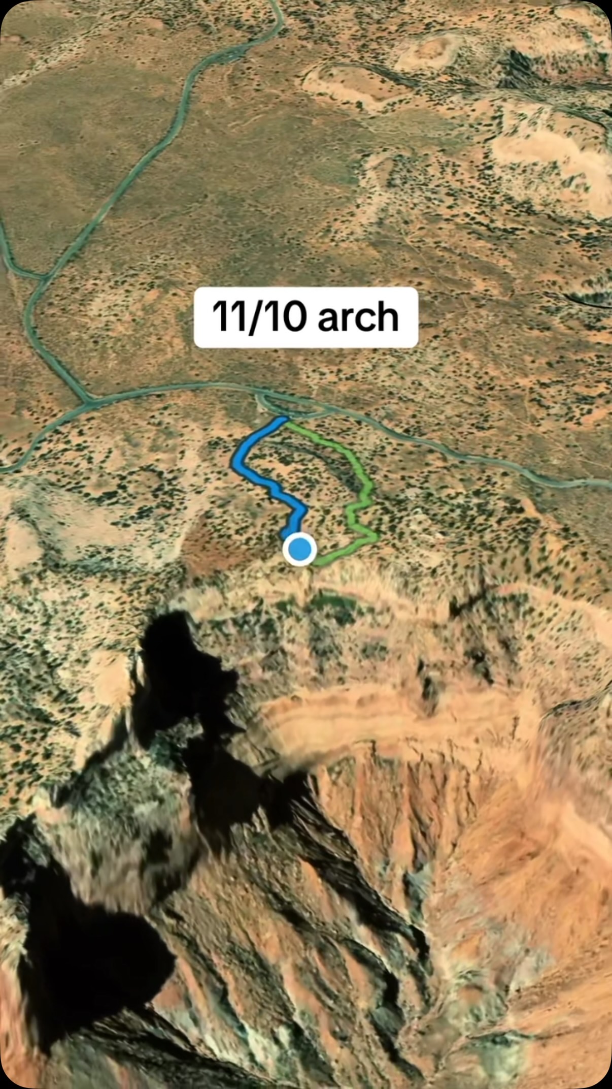
Spectacular Arches Found in Canyonlands National Park
Canyonlands National Park, Mesa Arch Trail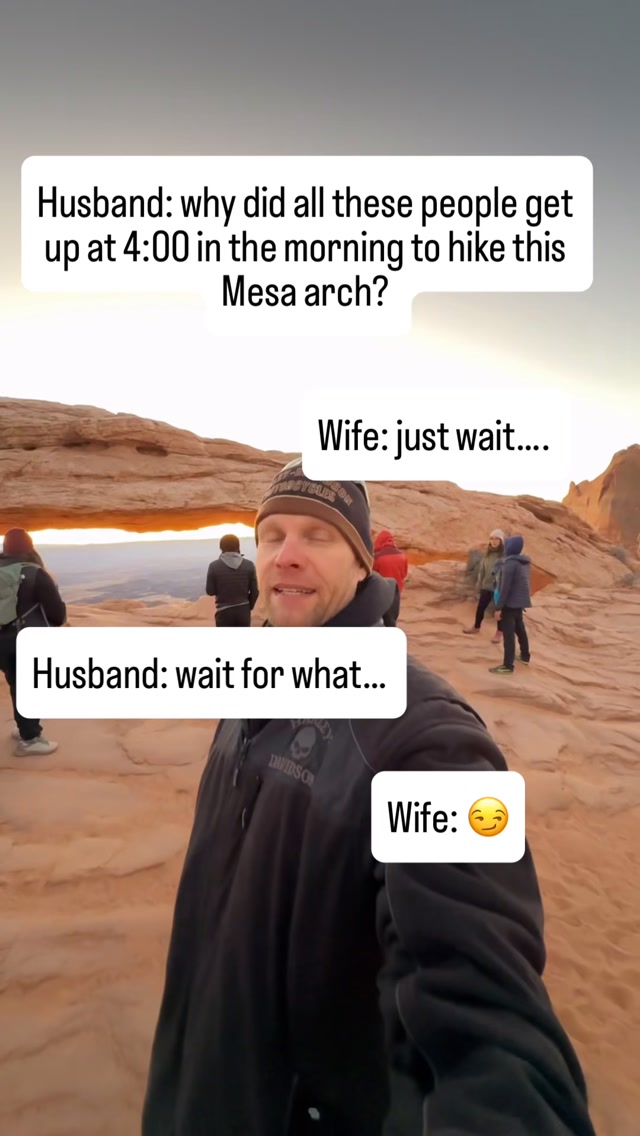
Iconic Southwest Sunrises at Canyonlands National Park
Canyonlands National Park, Mesa Arch Trail
Ancient Aspen Forests Under Threat
Pando Aspen Tree, Fishlake National Forest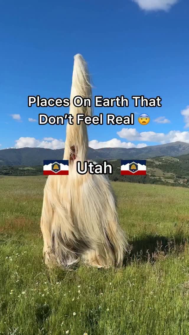
Utah's Surreal Landscapes and National Parks
Great Salt Lake, Lake Powell, Bryce Canyon National Park