
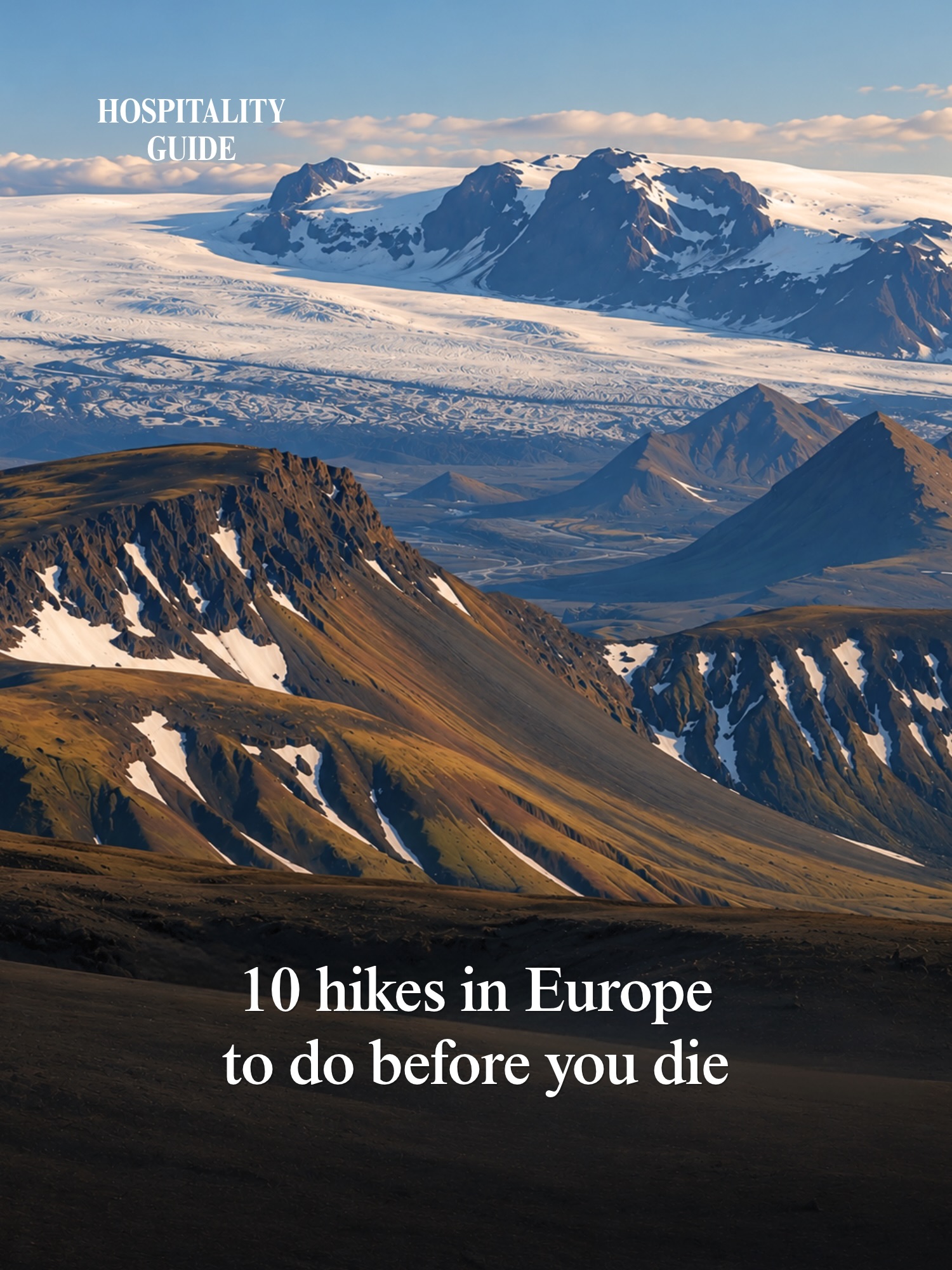
Ten Scenic European Hiking Trails to Experience
Source:
@hospitality.guide

10 places on the map
Explore the map in the DocentPro app10 attractions: Seceda Ridgeline, La Ruta del Cares, Samaria Gorge, and 7 more. Every place is verified on Google Maps, featured in an Instagram post by Hospitality Guide.
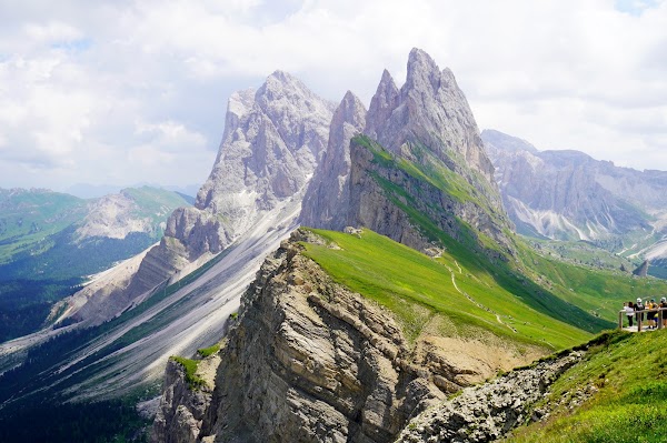
Seceda Ridgeline

Landmark

4.8
• Lush green meadow with dramatic drops and views of Odle mountains • Accessible by cable car from Ortisei • Trail is 3-6 km long
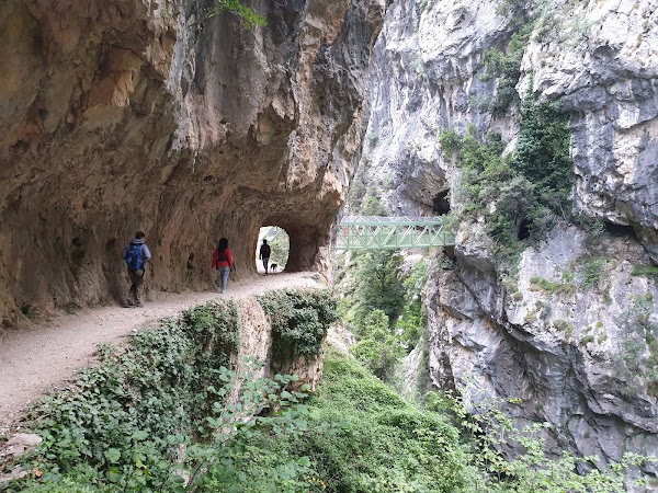
La Ruta del Cares

Hiking area
4.8
• Trail carved into rock, hanging above a deep gorge • Features tunnels and dizzying bridges • 12 km one-way hike

Samaria Gorge
Natural feature
4.6
• One of Europe's longest gorges, 16 km long • Cliffs are just a few meters apart at the narrowest point • The sea awaits at the end of the hike

Kjerag
Natural feature
4.8
• Massive boulder wedged between two cliffs, 1,000 meters above the fjord • 11 km hike • Recommended for those not afraid of heights

Pico do Arieiro
Place
4.9
• Hike above the clouds along dramatic ridges and through tunnels • Leads to the island's highest peak • 7 km one-way trail
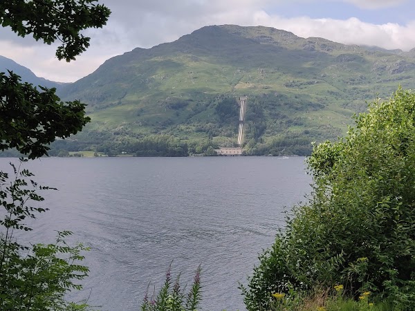
West Highland Way
Place
• Scotland’s most famous long-distance hiking trail, 154 km long • Stretches from Loch Lomond to the wild valleys of Glencoe
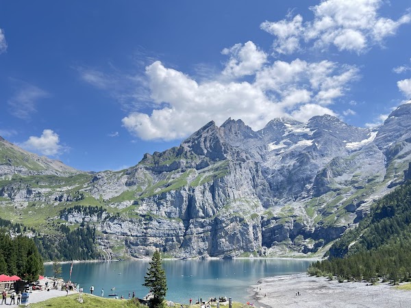
Hiking Path to Oeschinensee
Hiking area
4.7
• Trail around a turquoise lake surrounded by snow-capped peaks • Offers spectacular views from the panoramic trail above • Hike is 8-9 km long

Bastei Bridge
Place
4.8
• Features a 19th-century stone bridge nestled between towering sandstone formations • Bridge is 194 meters above the Elbe River • Trails are 3-6 km long

Valbona - Theth Hiking Trail
Hiking area
4.8
• Mountain pass connecting two remote valleys in the 'Accursed Mountains' • Considered wild and relatively undiscovered • 17 km hike

Laugavegur
Place
• 55 km trail from Landmannalaugar to Þórsmörk • Features rainbow-colored mountains, lava fields, and hot springs • Typically a 3-4 day hike
Save these 10 places to your map
Keep every place on your own map in DocentPro, and add more as you browse.