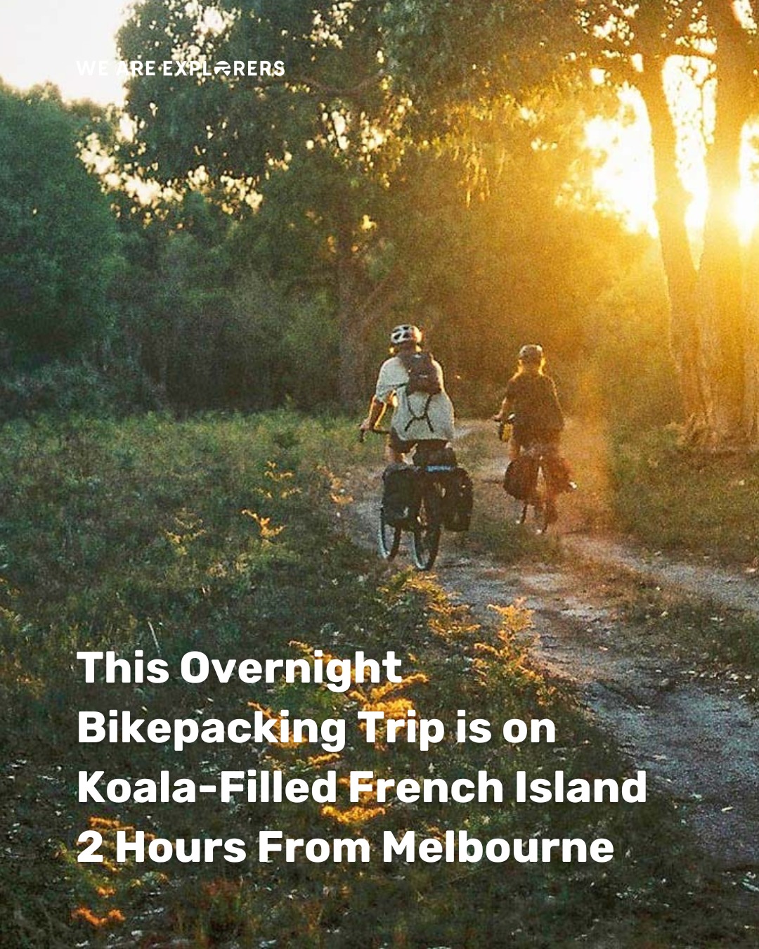
Victorian Parks and Mount Lofty Hiking Trails
Source:
@biancainmelbourne
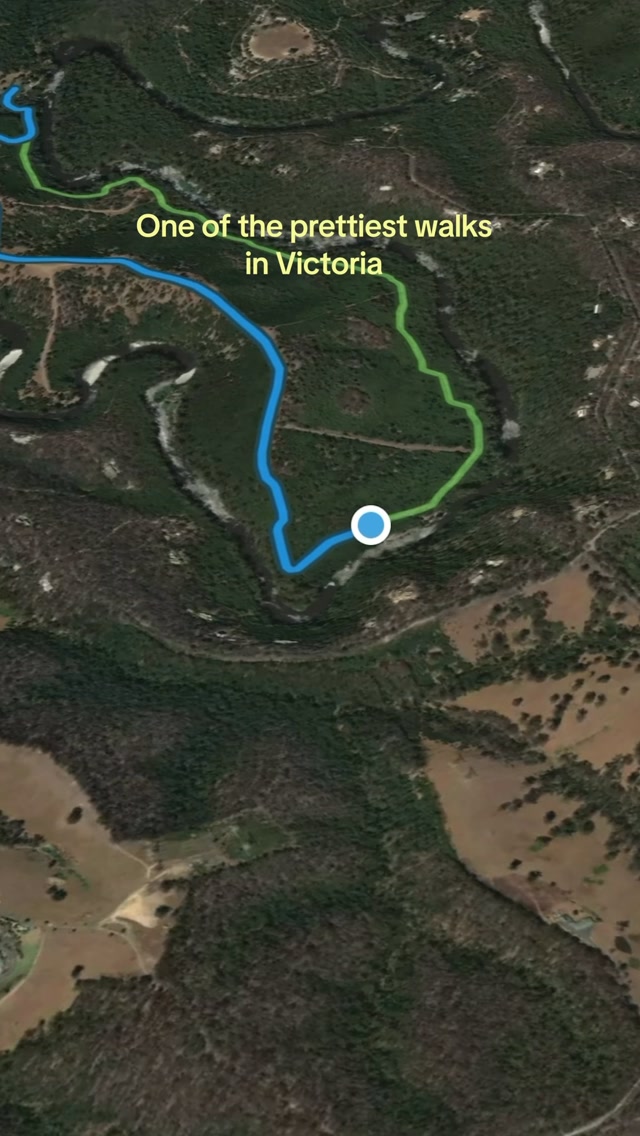

5 places on the map
Explore the map in the DocentPro app5 places in Victoria: Warrandyte State Park, Mount Lofty, Mount Dandenong, and 2 more. Every place is verified on Google Maps, featured in an Instagram post by Bianca in Melbourne.
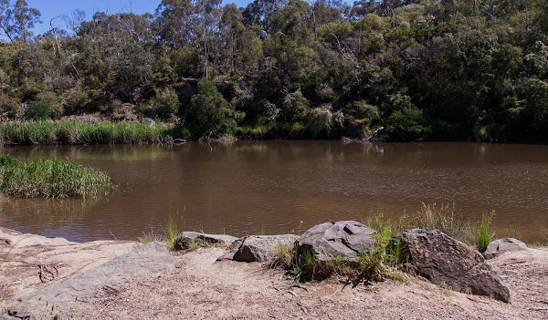
Warrandyte State Park

State park

4.6
• Go hiking and explore trails under an hour from Melbourne. • The 5.5km circuit takes around 1.5 hours to complete. • Keep an eye out for kangaroos grazing on the hillsides. • Located in Wonga Park, an area with lush landscapes.
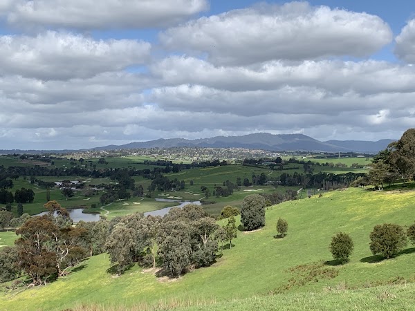
Mount Lofty
Hiking area
4.7
• Hike the 5.5km circuit for summit views over Mount Dandenong, Lilydale, and the Yarra Valley. • The hike takes around 1.5 hours. • Look for kangaroos grazing on the hillsides. • This trail is under an hour drive from Melbourne.
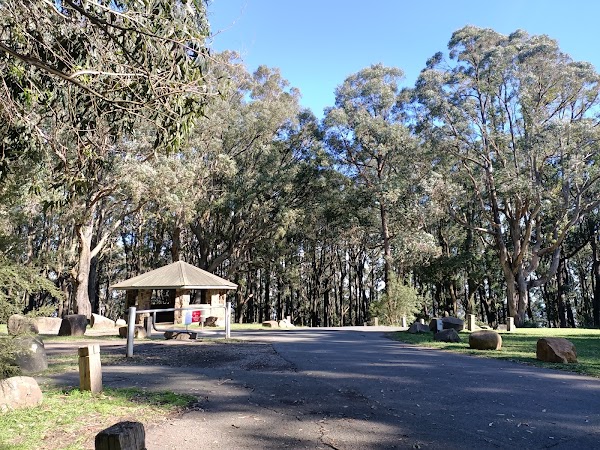
Mount Dandenong
Place
• Enjoy views of Mount Dandenong from the summit of Mount Lofty. • Known for its scenic beauty and lookouts.
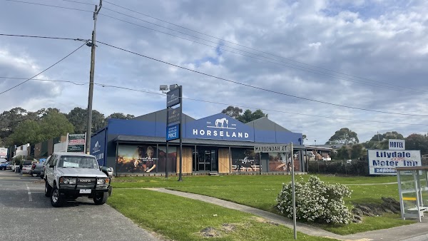
Lilydale
Place
• See expansive views over Lilydale from Mount Lofty's summit. • It's a gateway town to the Yarra Valley.
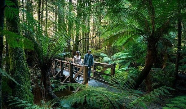
Yarra Ranges National Park
National park
4.7
• This national park is home to diverse landscapes and wildlife. • It offers opportunities for hiking, camping, and scenic drives. • Enjoy views of this region from Mount Lofty.
Save these 5 places to your map
Keep every place on your own map in DocentPro, and add more as you browse.
More featured places in Victoria

Melbourne's Historical Sites and Natural Wonders
Puffing Billy Railway, Sovereign Hill, Walhalla
Victoria's National Parks And Tidal River Campground
Wilsons Promontory, Tidal River Campground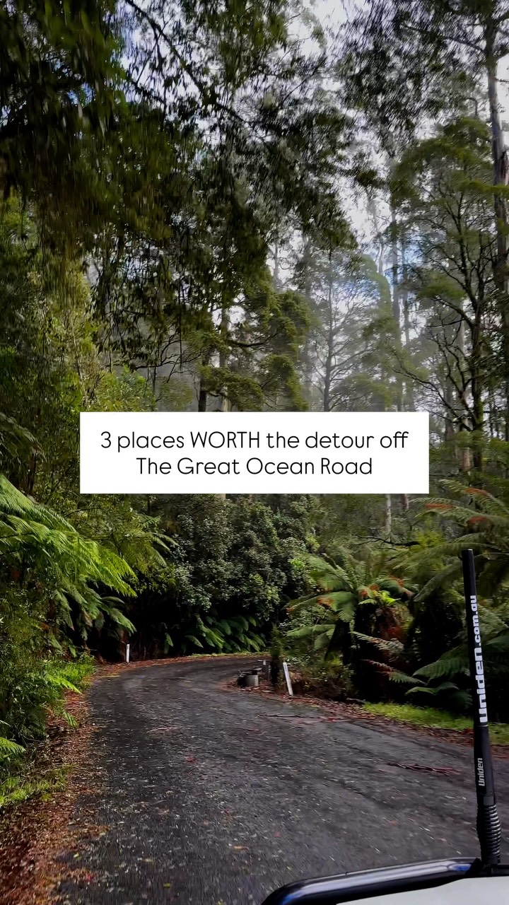
Great Ocean Road Detours: Waterfalls, Redwoods, and Treetops
Hopetoun Falls, The Redwoods Otways, Otway Fly Treetop Adventures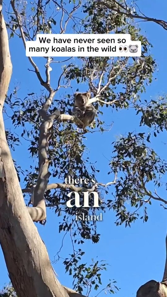
French Island: Off-Grid Nature Escape Near Melbourne
French Island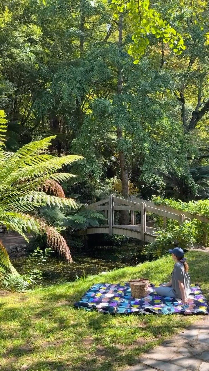
Dandenong Ranges Gardens, Trails, and Historic Railway
Alfred Nicholas Memorial Garden, Puffing Billy Railway, Micawber Tavern