Washington State's Best Mountain Hikes
Source:
@wanderingbackpack


Save places straight from any post.
Share an Instagram, TikTok, YouTube, Facebook, Google Maps or web link to DocentPro and every place in it lands on your map. This post became these 7.
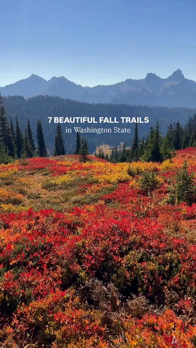

7 places on the map
Explore the map in the DocentPro app7 hikes in Washington: Myrtle Falls, Oxbow Trail Loop, Naches Peak Loop Trailhead, and 4 more. Every place is verified on Google Maps, featured in a Facebook post by wanderingbackpack.
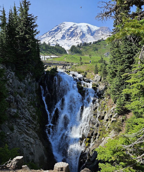
Myrtle Falls

Landmark

4.8
• Waterfall in Mount Rainier National Park • Accessible via a short, paved path from the Paradise visitor center • Part of the Skyline Trail
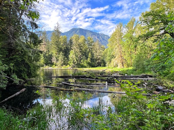
Oxbow Trail Loop

Hiking area
4.5
• Trail known for its dense forests and lush vegetation • Often misty, creating a mystical atmosphere • Good for a short, easy hike
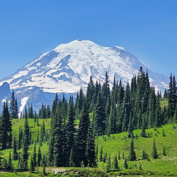
Naches Peak Loop Trailhead
Hiking area
4.8
• Popular loop trail offering panoramic views of Mount Rainier • Known for vibrant fall colors and wildflowers in summer • Can be hiked in either direction, part of Pacific Crest Trail
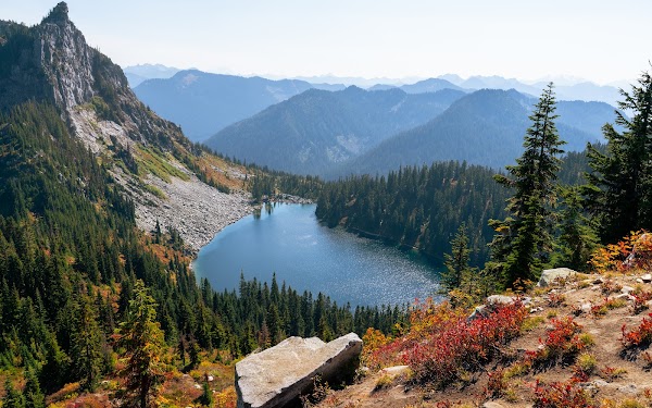
Mount McCausland
Mountain peak
4.9
• Summit offering views of the Alpine Lakes Wilderness • Accessible via a moderate to strenuous hike • Best visited in late summer or early fall for colors
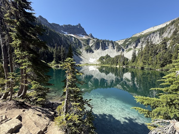
Bench and Snow Lake Trail
Hiking area
4.6
• Two alpine lakes in Mount Rainier National Park • Accessible by a moderately difficult trail • Popular for fishing, camping, and scenic views
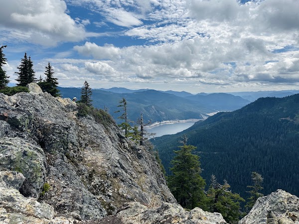
Mount Catherine Trailhead
Hiking area
4.7
• Popular hiking destination with views of the Alpine Lakes Wilderness • Best for fall foliage and sunset views • Features a summit fire lookout site

Bagley Lakes Trail
Place
• Series of picturesque lakes near Mount Shuksan • Features a boardwalk trail, suitable for all skill levels • Offers stunning reflections of the surrounding peaks
Save these 7 places to your map
Keep every place on your own map in DocentPro, and add more as you browse.
More featured places in Washington

Historic D.C. Landmark Reopens With Panoramic Views
Washington Monument, United States Capitol, Waldorf Astoria Washington DC
Olympic Discovery Trail: Nature, Food, and Activities
Olympic Discovery Trail, Dungeness River Nature Center, Olympic Bluffs Cidery & Lavender Farm
Washington D.C. Slow-Travel Local Route Guide
Le Diplomate, Eastern Market, Hillwood Estate, Museum & Gardens
Washington's Scenic Wonders And Outdoor Adventures
Mount Rainier National Park, Alpine Lakes Wilderness Area, Lake Crescent
Trek Coffee Offers New Sunrise Panini
Trek Coffee Co.