bopsim_official — 부소담악

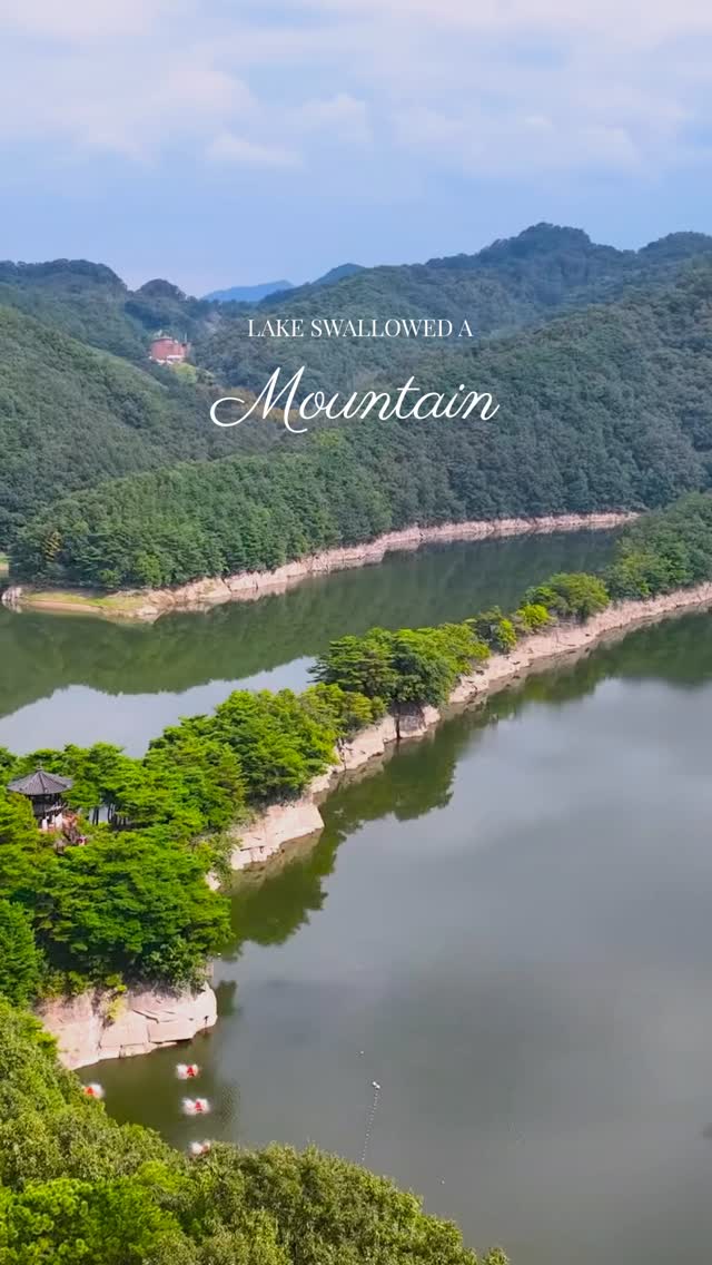

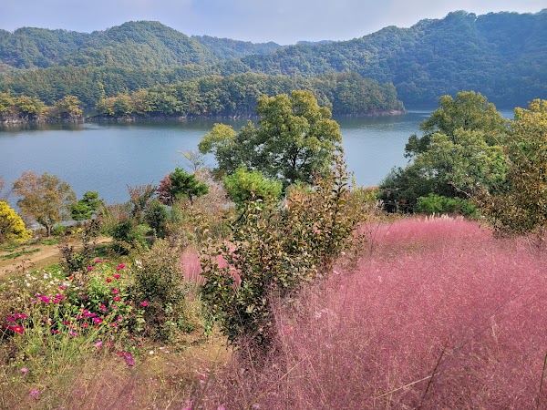
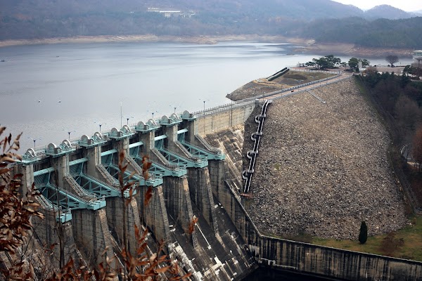
Busodamak is not a cliff beside a lake. It is a mountain standing in one. Busosan runs about 1.2 km, its high point 120 m above sea level. When the Daecheong reservoir filled at the turn of the 1980s, the water rose to roughly 76 m and drowned everything below it, leaving about 700 m of bare stone spine across the lake like a folding screen. What you see is the top 40-odd metres of a mountain. Three villages sat around it: Chudong behind, Busomuni in front, Jeolgol off to the side. Only Jeolgol survived intact. The other two went under, and the ri kept its name, Chusori, stitched from the Chu of Chudong and the so of Buso. Of the eighty-odd households, some left for Daejeon, some for the reclaimed land at Pyeongtaek. About thirty-five rebuilt on higher ground and are there now. Three centuries before any of this, the Joseon scholar Song Si-yeol looked at the ridge and called it Sogeumgang, Little Geumgangsan. The flood turned his metaphor into a description. Free, open year round, no closed days. A flat path and boardwalk run to Chusojeong pavilion, roughly 15 minutes each way, and the last rise to the pavilion is steep bare dirt that gets slick. Past the pavilion the ridge is an unrailed scramble with the water waiting on both sides. Buses leave Okcheon four times a day, but the last one back from the Chuso stop goes at 14:30, so most people drive.