Ronda's Gorge Trail Offers Canyon Views
Source:
@rutaideal


Save places straight from any post.
Share an Instagram, TikTok, YouTube, Facebook, Google Maps or web link to DocentPro and every place in it lands on your map. This post became these 5.

5 places on the map
Explore the map in the DocentPro app5 landmarks in Ronda: Caminito Del Desfiladero del Tajo, Ronda, Puente Nuevo Viewpoint, and 2 more. Every place is verified on Google Maps, featured in a Facebook post by rutaideal.
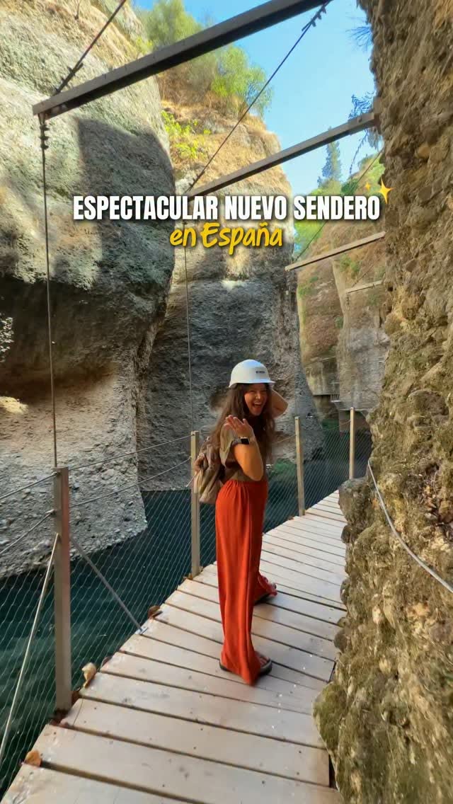
Caminito Del Desfiladero del Tajo

Landmark

2.7
• Recently opened spectacular hiking trail • Walk along footbridges suspended next to the Guadalevín river • Offers unique views of the Tajo de Ronda from below ✓ 12€ per person, helmet required; as of September 2026
Ronda

Place
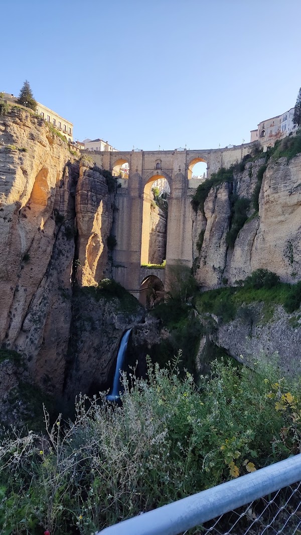
• River flowing through the deep canyon in Ronda • Trail follows its course through the gorge
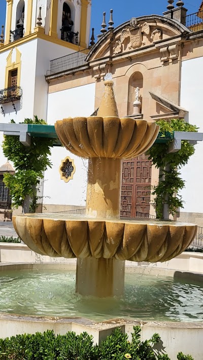
Puente Nuevo Viewpoint
Landmark
4.8
• Iconic bridge spanning the El Tajo gorge • The trail passes directly beneath it • Offers stunning views of the canyon from above and below
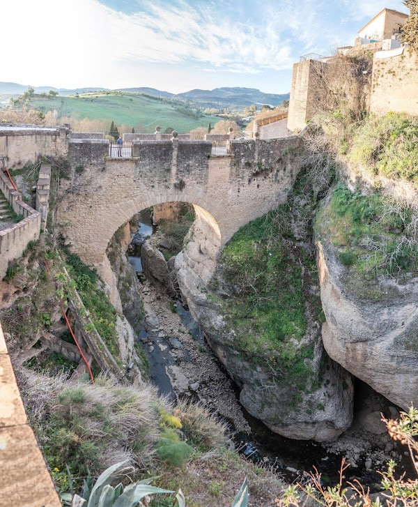
Puente Viejo
Historical landmark
4.7
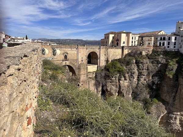
• Historical bridge marking the end of the new hiking trail • Connects the old and new parts of Ronda
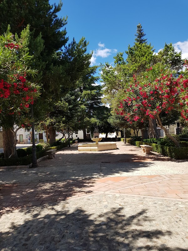
Plaza de María Auxiliadora
Place
• Starting point for the new hiking trail in Ronda
Save these 5 places to your map
Keep every place on your own map in DocentPro, and add more as you browse.
More featured places in Ronda
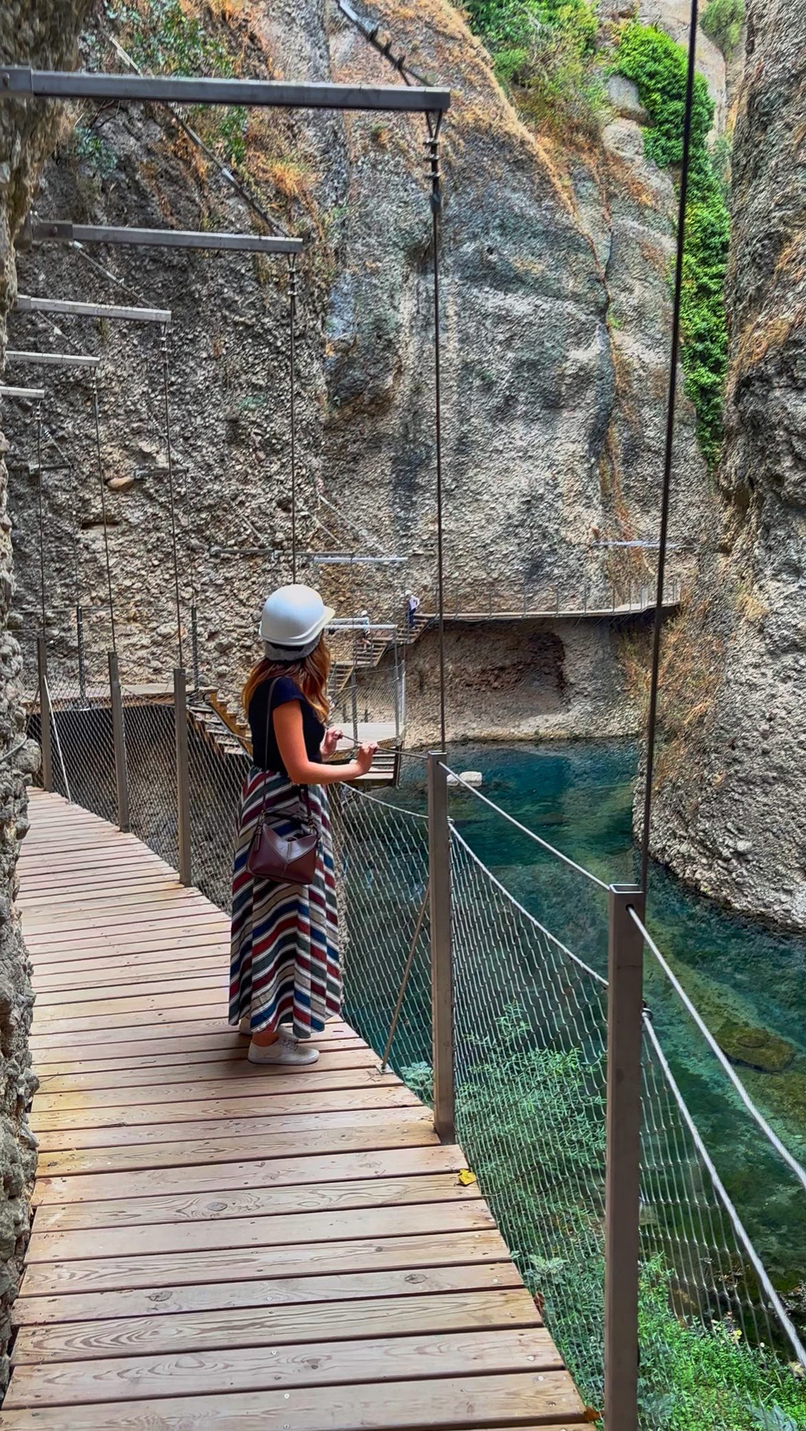
Ronda's Tajo Gorge and Puente Nuevo Trail
El Tajo de Ronda, Puente Nuevo Viewpoint, Arab Baths Archaeological Site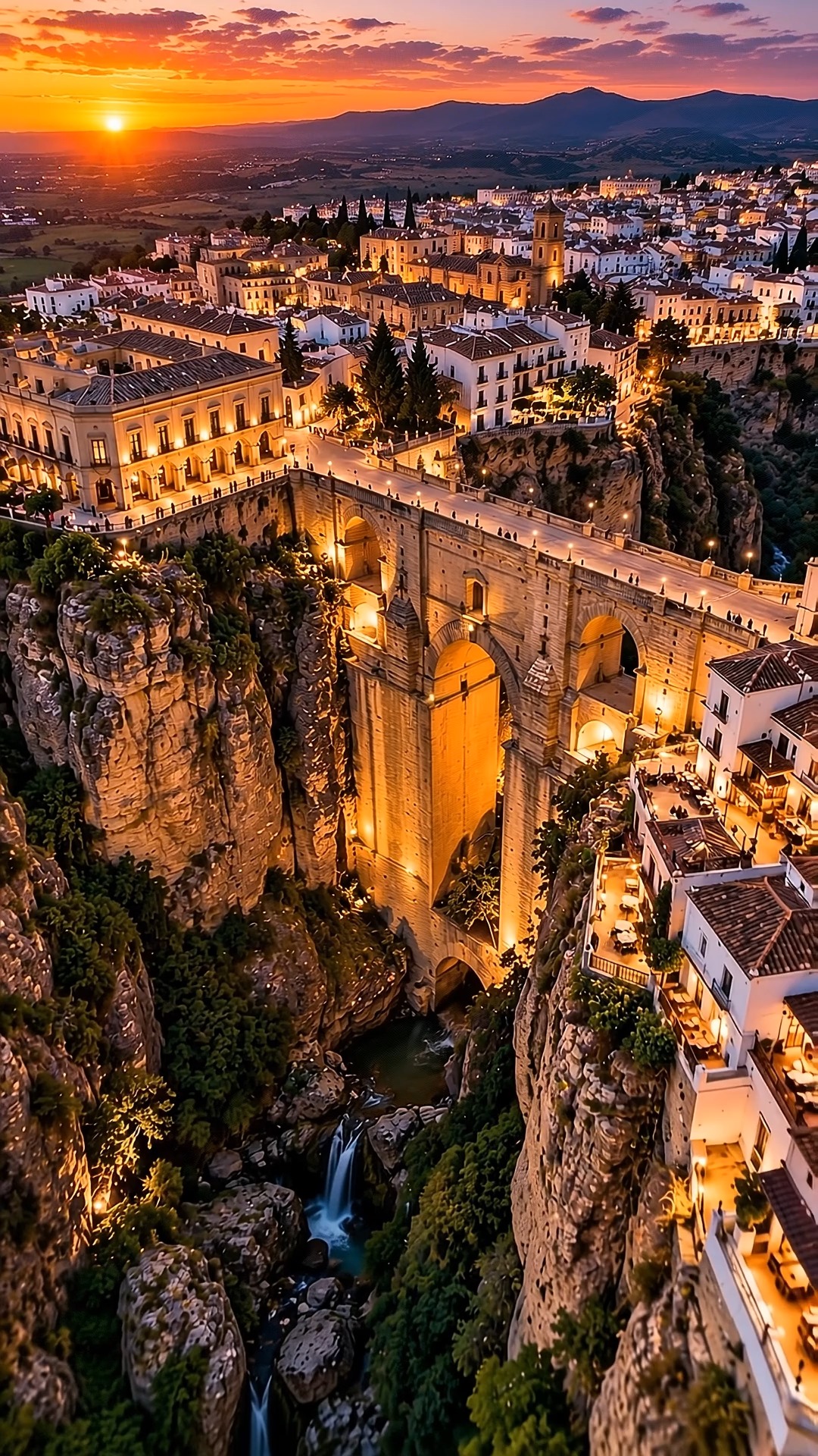
Ronda's Historic Center and Gorge At Sunset
El Tajo de Ronda, Puente Nuevo Viewpoint, Historic Center
Ronda's Iconic Bridges and Bullring
Bullring of the Royal Cavalry of Ronda, Puente Nuevo Viewpoint, Puente Viejo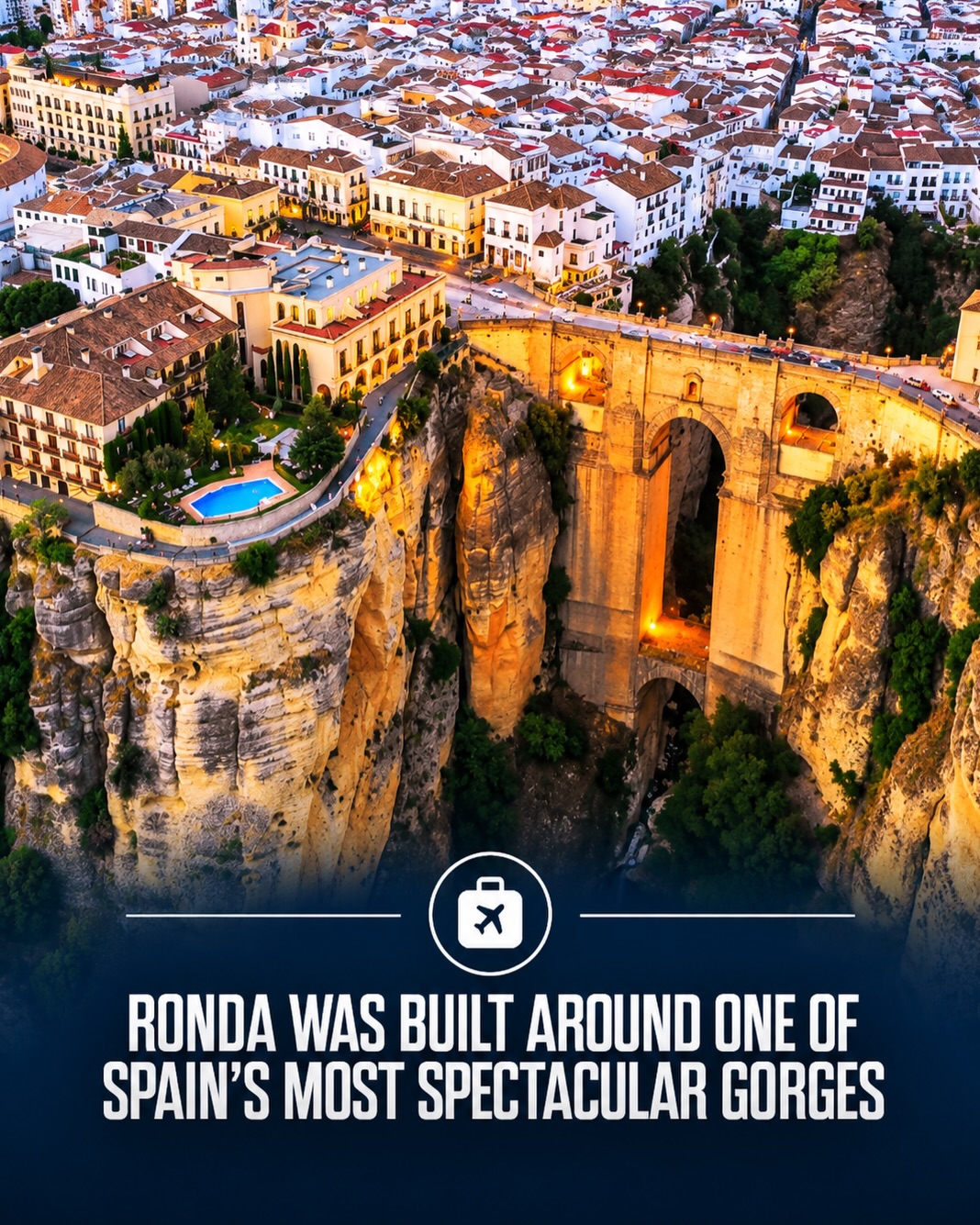
Ronda's Dramatic Views and Historic Sites
El Tajo de Ronda, Bullring of the Royal Cavalry of Ronda, Puente Nuevo Viewpoint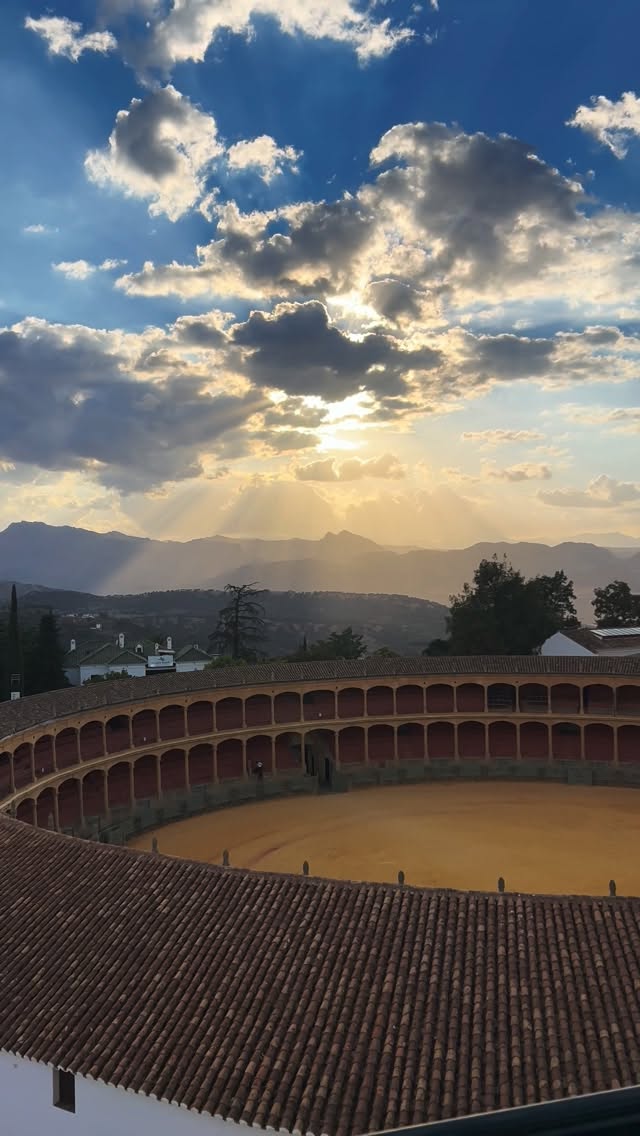
Ronda Rooftop Views Over Bullring
Bullring of the Royal Cavalry of Ronda, Hotel Catalonia Ronda