Scenic Bay Area Hikes With Green Hills And Ocean Views
Source:
@rapunzelexplores


10 places on the map
Explore the map in the DocentPro app10 parks in California: Stanford Dish, Byxbee Park, Mori Point, and 7 more. Every place is verified on Google Maps, featured in an Instagram post by Manni | Travel | San Francisco | Bay Area.

Stanford Dish

Park

4.7
Iconic landmark with paved walking path. Great for exercise.
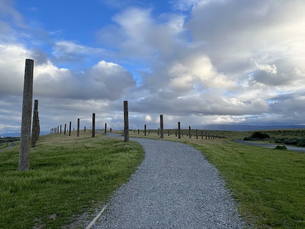
Byxbee Park
Park
4.7
Restored landfill with art installations. Unique bay views.
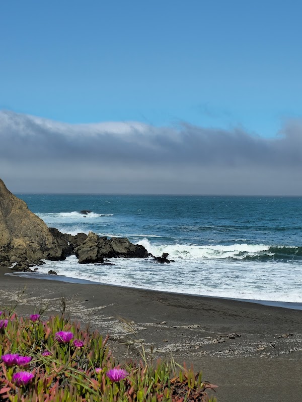
Mori Point
Scenic spot
4.8
Coastal trails with ocean views. Perfect for whale watching.
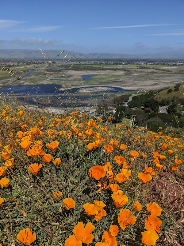
Coyote Hills Regional Park
Park
4.7
Wetland trails with bay views. Great for birdwatching.
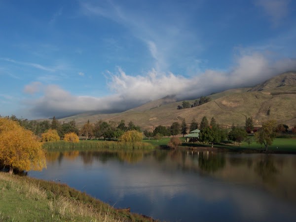
Ed R. Levin County Park
Park
4.7
Hills, lake, and hang gliding. Hike or picnic.

Anniversary Trail
Place
Scenic trail through forests and meadows. Great for wildflowers.
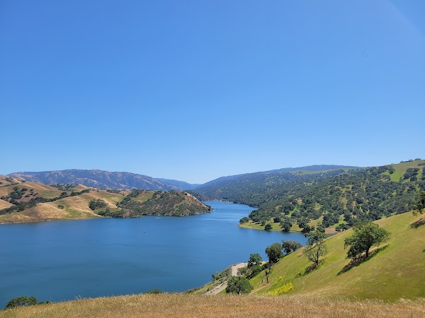
Del Valle Regional Park
State park
4.6
Lake with hiking, boating, and camping. Family-friendly.
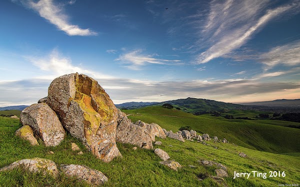
Vargas Plateau Regional Park
Park
4.7
Rolling hills with grazing cattle. Hike with panoramic views.
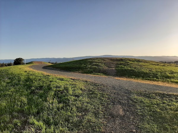
Vista Slope
Natural feature
4.5
Easy walk with views of the bay. Ideal for sunset.
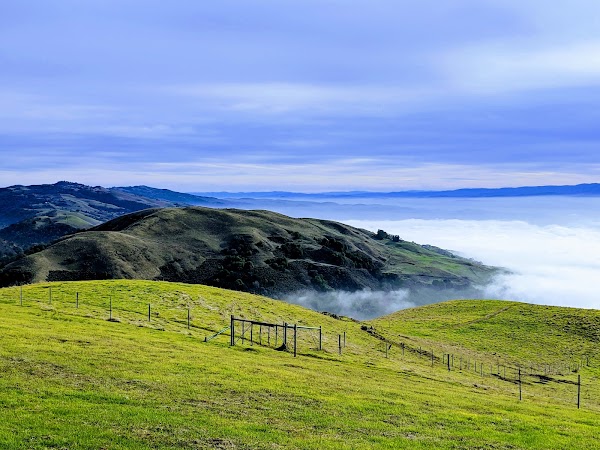
Sierra Vista Open Space Preserve
Nature preserve
4.8
Challenging trails with stunning views. Spot wildlife.
Save these 10 places to your map
Keep every place on your own map in DocentPro, and add more as you browse.
More featured places in California

Top Bay Area Cafes With Great Coffee And Aesthetics
Filoli Historic House & Garden, Covour Coffee, Voyager Craft Coffee - Cupertino
Bay Area Lakes for Picnics and BBQs
Cunningham Lake, Ed R. Levin County Park, Shoreline Lake