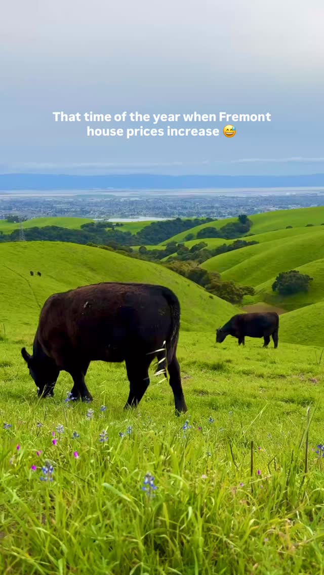
rapunzelexplores — Coyote Hills Regional Park
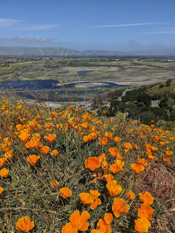
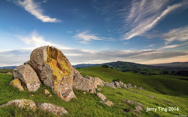
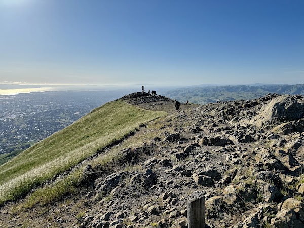
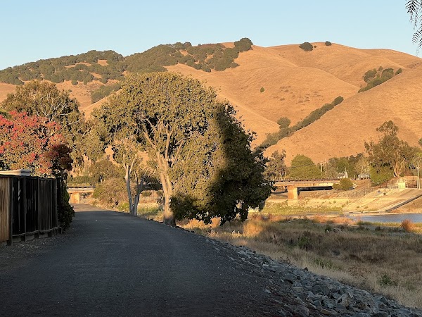
🌼 Spring hikes to do in Fremont 🌼 Spring is the best time to hike here before the heat kicks in and the hills turn brown (or golden as they call it) 🥾 Mission Peak 6–7 miles round trip | Moderate–Strenuous Iconic summit views, green hills, and seasonal wildflowers. 🌿 Vargas Plateau Up to 6+ miles | Moderate Wide open trails, rolling grasslands, and quieter paths with Bay views. 🌅 Coyote Hills Regional Park 1–5 miles (multiple loops) | Easy–Moderate Gentle trails with marsh view, views of Dumbarton Bridge and bay views, perfect for slow spring walks. 🌸 Queen Elizabeth Lake Trail ~1.5–2 miles loop | Easy Flat lakeside loop with flowers, benches, and mountain views, great for stroller walks and relaxed spring hikes and birdwatching. 🚶 Alameda Creek Trail Flexible (out & back) | Easy Flat trail along the creek. Perfect for walks, stroller-friendly hikes, or long strolls. Which Fremont hike you’re doing next? Save this for later. Follow for more Bay Area & California outdoor spots! #sfbayarea #bayarea #fremont #bayareahikes #bayareahiking